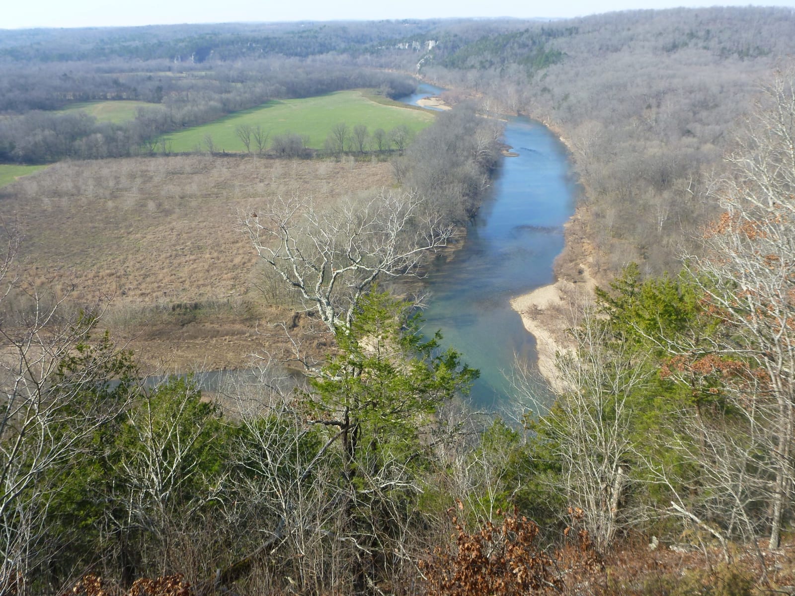
The Buffalo River bends through green pasture below a wooded bluff, seen from the overlook behind the Collier Homestead in winter.
National Park Service / public domain
Arkansas · Region

Buffalo River & the Ozark Mountains

Lost Valley and Tyler Bend on the Buffalo National River, Boxley Valley elk, the Rush zinc ghost town, Blanchard Springs Caverns and the Ozark Folk Center.

10 places to explore

The Osage hunted the Buffalo River country, and from 1817 to 1828 it was part of the Cherokee treaty lands, until the Cherokee were removed to Indian Territory. Shawnee and Delaware villages stood where the White and North Fork rivers meet, and the Osage Nation still counts Blanchard Springs Caverns a sacred site. Some families in Boxley Valley trace their ancestry to the Cherokee who lived there.

Settlers followed after 1828. Jacob Wolf's log courthouse at Norfork, finished in 1829, is the oldest public structure in Arkansas, and Boxley Valley's farms date from the 1830s. Calico Rock grew up around a railroad in 1903, and Rush boomed on zinc until prices fell in 1919, then became a ghost town. The Buffalo itself was spared dams and became the first national river in 1972, reached on foot at Lost Valley and Tyler Bend. Whitaker Point's trail crosses the Upper Buffalo Wilderness, where no one has lived since 1948.

Mountain View's Ozark Folk Center, which opened in 1973, keeps Ozark crafts and mountain music going, Blanchard Springs Caverns is a living limestone cave, and Bull Shoals-White River State Park sits below a dam on a trout river. Elk, gone from Arkansas by the 1840s, were brought back to Boxley Valley in 1981 and have thrived there since.

What to See in Buffalo River & the Ozark Mountains

10 places across the region, grouped by what they are.

Geology & Rock Formations
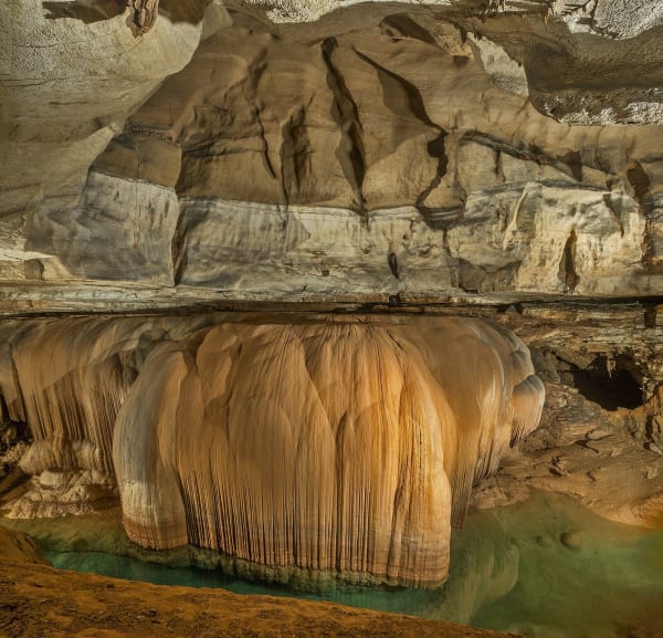
A great curtain of golden flowstone hangs above a green pool in Blanchard Springs Caverns.

Blanchard Springs Caverns

Mountain View

A living limestone cave in the Ozark National Forest, opened to the public in 1973 on a spring that once ran a Confederate veteran's gristmill.

View details →

Natural Areas

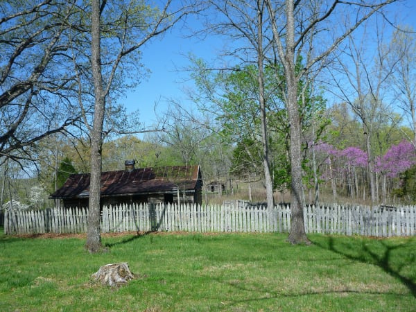
A weathered log cabin with a rusted tin roof stands behind a gray picket fence among oaks and blooming redbuds at the Collier Homestead.

Buffalo National River at Tyler Bend

St. Joe

The country's first national river, kept free-flowing after a dam fight that ended in 1965, seen from the Middle District's visitor center, the Collier Homestead and the Riverview Trail.

View details →

Lost Valley Trail

Ponca

A box-canyon walk past a natural bridge, a 2,000-year-old bluff shelter and a 53-foot waterfall, the most popular hike in Buffalo National River.

View details →
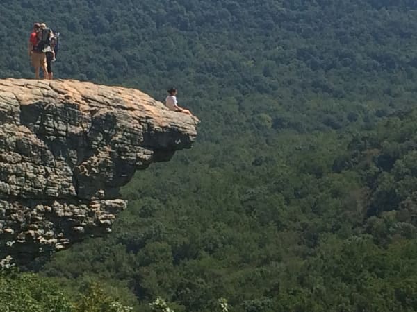
Hikers stand and sit on the edge of Hawksbill Crag, a rock ledge jutting out over a forested valley.

Whitaker Point (Hawksbill Crag)

Jasper

The one designated trail in the Upper Buffalo Wilderness leads to Hawksbill Crag, a bluff over the river's headwaters in a valley no one has lived in since 1948.

View details →

Hikes & Trails

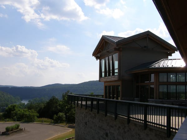
The glass-fronted upper floor and deck of the Gaston Visitor Center look out over forested hills and a bend of Bull Shoals Lake.

Bull Shoals-White River State Park

Bull Shoals

A state park below Bull Shoals Dam, where a visitor center overlooks the dam and lake and the White River below is a nationally known trout stream.

View details →

Historic Sites

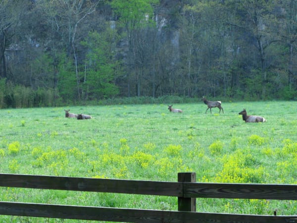
Elk rest and graze in a green, yellow-flowered field beneath a wooded bluff in Boxley Valley, seen past a wooden fence.

Boxley Valley Historic District

Ponca

A seven-mile farm valley of log houses, a grist mill and a 1980s elk herd inside Buffalo National River, still lived in and still grazed by cattle.

View details →
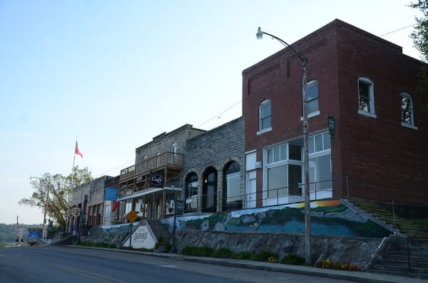
Brick and stone storefronts line a hillside Main Street in the Calico Rock Historic District, with a cafe balcony above a painted retaining wall.

Calico Rock Historic District

Calico Rock

A one-block railroad-era Main Street climbing a hillside above the White River, rebuilt in brick and stone after the 1923 fire, with a hotel of homemade cement blocks.

View details →
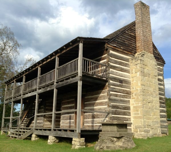
The two-story hewn-log Jacob Wolf House with a double porch and a tall stone and brick chimney under a cloudy sky.

Jacob Wolf House

Norfork

Arkansas's oldest public structure, a two-story dogtrot log house at the Norfork confluence that served as the Izard County courthouse in 1829 and later as a family home.

View details →
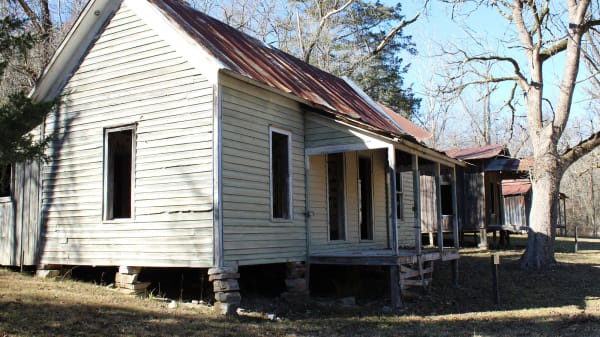
A weathered clapboard house with a rusted metal roof and an open porch stands among bare trees in the Rush Historic District.

Rush Historic District

Yellville

The zinc-mining camp on Rush Creek that boomed from the 1880s, emptied after 1919 and now stands inside Buffalo National River as a ghost town.

View details →

Towns & Gateways

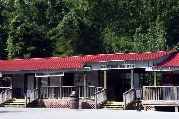
The red-roofed entrance building of the Ozark Folk Center, with ticket and general store signs and a wooden porch, in front of dense trees.

Ozark Folk Center State Park

Mountain View

A state park of working craftspeople, a herb garden and live mountain music at Mountain View, born of a 1963 folk festival and a plan to pay for a sewer.

View details →

Buffalo River & the Ozark Mountains rewards the unhurried. Pick a base, fan out, and let the country between the headline stops surprise you.

← Explore more of Open Road Guide