 CoreBurn / CC BY 2.0 via Wikimedia Commons
The Story
Bull Shoals Dam is 2,256 feet long and 256 feet high above the streambed. The Army Corps of Engineers built it between 1947 and 1951 on the White River for flood control and power, and the lake behind it is one of the region's large reservoirs. The state park began in 1955 as property it leased from the Corps, and it was the seventh state park in the system. At first it was mostly a cleared field for camping with one light pole, plus an old lodge from the dam project that was torn down in 1979.
The name comes, according to the Encyclopedia of Arkansas, from French hunters' word "boill" for a large spring, which the first English speaker in the area, Edmund Jennings, pronounced "bull." The springs fed the shoals.
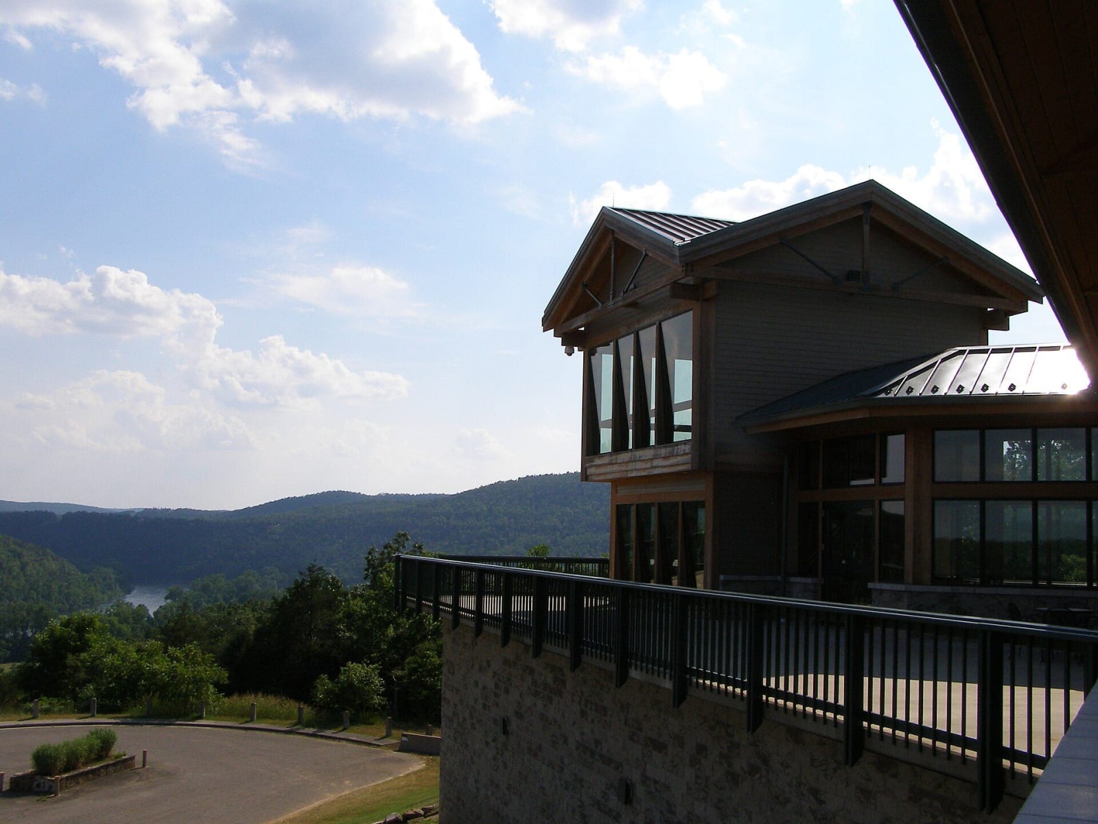
The James A. Gaston Visitor Center sits high above the dam, with a view of the river, dam and lake, an exhibit hall, a johnboat theater and an observation tower. Below it the park runs along the White River, with campsites, a boat ramp and a trout dock that rents boats, motors and canoes. The river below the dam is a nationally known trout stream. Rangers lead cruises, trout fishing workshops and nature walks, and in January and February eagle watches look for the bald eagles that winter here. The lakeside section has picnic tables and the one-mile Lakeside Trail.
Visitor Info
On the Map
Nearby
The closest stops worth working into your route
Historical markers nearby
Roadside plaques and monuments within a short detour