Home / New Mexico / White Sands & the Sacramento Mountains / White Sands National Park
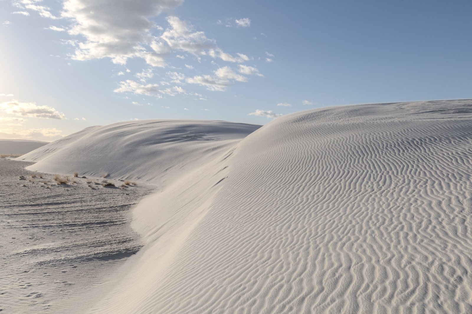
A rippled crest of white gypsum sand curving across the dunes at White Sands under a lightly clouded skyClyde Charles Brown / CC BY-SA 4.0 via Wikimedia Commons
🌲Natural

White Sands National Park

Part ofWhite Sands & the Sacramento Mountains

The largest gypsum dunefield on Earth, a national park since 2019, surrounded on all sides by military ground whose missile tests close its only road for hours at a time.

Scenic DrivingWinterFamily-FriendlyIconicPhotographyKid-FriendlyPaid EntryWeird & WonderfulHiking
⏱
Duration
Half a day.
🎟
Admission
Entrance fee, or a national parks pass.
📅
Best Season
Fall through spring; summer midday heat on the dunes is dangerous.

The Story

White Sands lies in the Tularosa Basin between Alamogordo and Las Cruces, and nearly everything around it belongs to the military: White Sands Missile Range to the north and west, Holloman Air Force Base to the east, Fort Bliss beyond. The dunes themselves run on north into the missile range past the park boundary. When the range fires test missiles, US-70 and the park road are closed, usually for one to three hours, about once or twice a week, and the park asks visitors to check the closure schedule the day before.

The park has one road. Dunes Drive runs eight miles from the visitor center on US-70 into the heart of the dunes. The first stretch is paved; the rest is packed gypsum, graded and plowed because the dunes keep moving, twenty or thirty feet a year in places, and the loop at its far end is a series of cleared lots that shift with them.

Visitors sled down the steep faces on plastic saucers, sold at the visitor center. The Alkali Flat Trail, about five miles round trip across trackless dunes and marked only by posts, leads to the dry lakebed that feeds the dunefield. It has no shade and no water, and hikers have died on it in the summer heat; carry far more water than seems necessary.

White Sands was made a national monument in 1933 and a national park in December 2019. Dunes Drive closes around sunset.

Visitor Info

⏱
Time Needed
Half a day.
🎟
Admission
Entrance fee, or a national parks pass.
📅
Best Season
Fall through spring; summer midday heat on the dunes is dangerous.
🛣️
Highway
US-70

On the Map

Nearby

The closest stops worth working into your route

cultural40 mi away
Three Rivers Petroglyph Site
More than 21,000 petroglyphs on a basalt ridge above the Tularosa Basin, one of the few places in the Southwest set aside for its rock art alone, walked on a rough half-mile trail.
historical50 mi away
Mesilla Plaza
A plaza laid out in 1848 by people who meant to stay in Mexico, American six years later, a stage stop and Civil War headquarters, and scene of a deadly political riot in 1871.
historical63 mi away
Smokey Bear Historical Park
The small park in Capitan where the living Smokey Bear is buried, a cub found clinging to a burned tree in the Capitan Mountains in 1950, six years after the cartoon was invented.
historical64 mi away
Trinity Site
Where the first atomic bomb was exploded on July 16, 1945, open one day a year, and remembered by its neighbors as the start of decades of illness the government took eighty years to acknowledge.
historical67 mi away
Lincoln Historic Site
One street of adobe in the Bonito valley kept much as it was in the 1870s, where the Lincoln County War was fought over who would supply Fort Stanton and the Mescalero agency.
natural82 mi away
Bosque del Apache National Wildlife Refuge
A Rio Grande refuge south of Socorro where cranes and geese winter by the tens of thousands on wetlands and fields kept by people, because the river no longer floods to make them.