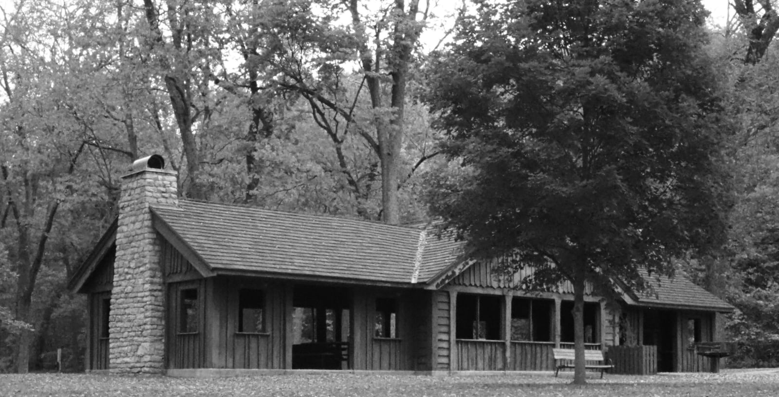
 Martin Casagrand / CC BY-SA 4.0 via Wikimedia Commons
The Story
The Missouria call themselves Nutachi. The name the river and the state carry came from the Illinois: Oumessourit, on Marquette and Jolliet's map of 1673, is usually translated as people of the dugout canoes, and the map placed their village here at the Great Bend of the Missouri. Their Oneota ancestors were in this country by about A.D. 1250. From about 1450 their main town, known to archaeologists as the Utz Site, spread across some 300 acres on the loess ridges called the Pinnacles, with rush-mat longhouses of fifteen to twenty-five people each and perhaps 5,000 people in all. They planted corn, beans and squash, left on the bison hunt in June and came back in August for the harvest, and from these bluffs they controlled traffic on the river.
French traders reached them around 1680, and in 1721 Etienne de Bourgmond built Fort Orleans across the river. Disease and war followed. By 1758 about 750 Missouria remained, and after Sac and Fox raids late in the century most of them joined their Otoe relatives. Their descendants are the Otoe-Missouria Tribe, at Red Rock, Oklahoma, since 1881.
Missouri's American Indian Cultural Center in the park tells this history in exhibits and a mural. A trail climbs the Pinnacles to the Old Fort, an irregular double-ditched earthwork the ancestral Missouria built, whose purpose is still unknown, and a boardwalk crosses the marsh and fens of the Oumessourit Natural Area below. Annie Vanmeter gave the first 369 acres to the state in 1932 in memory of her husband, Abel.
Visitor Info
On the Map
Nearby
The closest stops worth working into your route
Historical markers nearby
Roadside plaques and monuments within a short detour