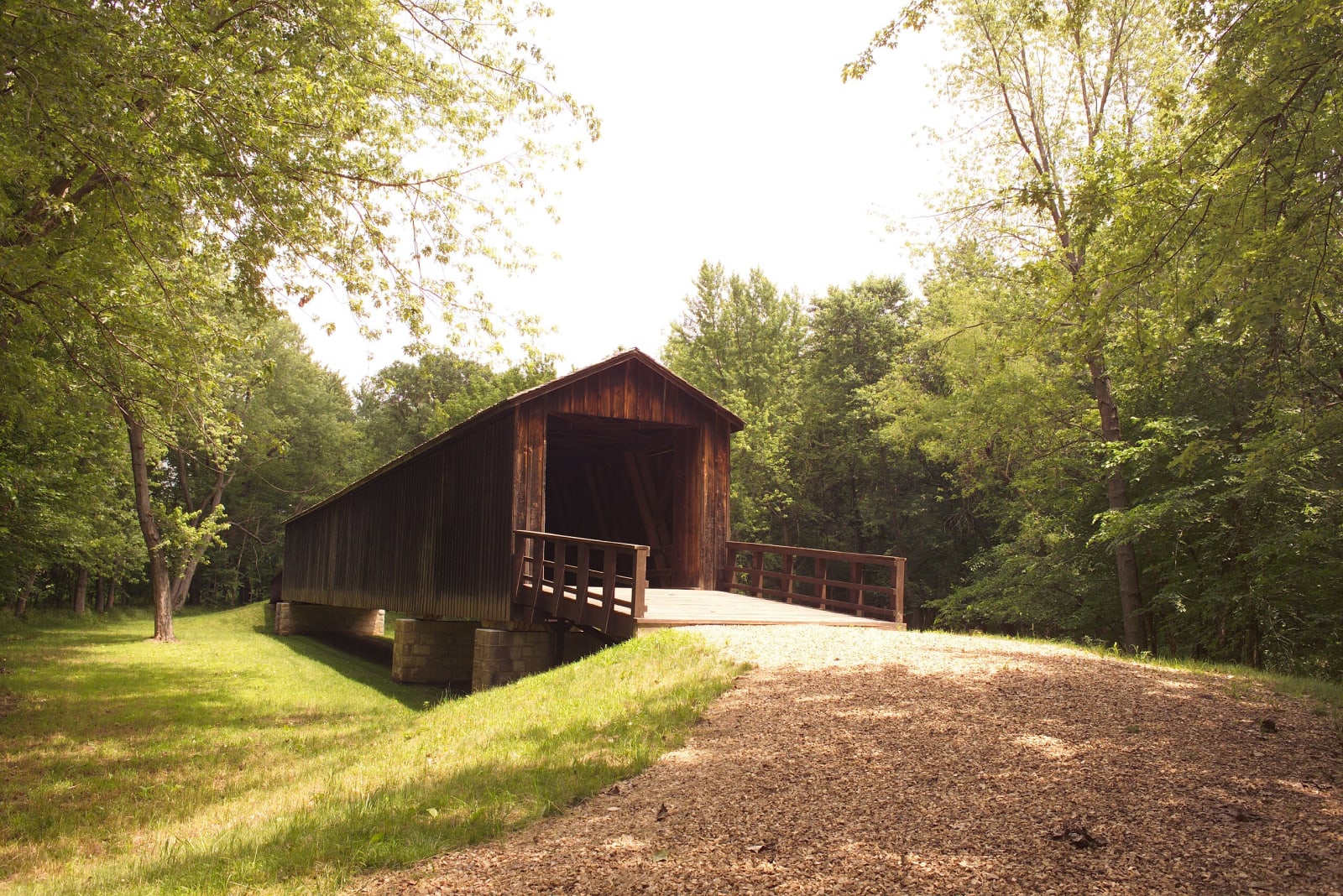
 Missouri State Parks / public domain via Wikimedia Commons
The Story
The firm of Bishop and Eaton built this bridge in 1868, and at 151 feet it is the longest of Missouri's four surviving covered bridges. It was known then as the Linn County Bridge. It is a Howe truss, the design William Howe patented in 1840, in which vertical iron rods draw the diagonal timbers tight against the top and bottom of the truss. Here the timber is white pine, and the entrances are rectangular, with ramps sloping away at both ends.
The bridge carried the main east-west road across northern Missouri, running beside the Hannibal and St. Joseph Railroad midway between Laclede and Meadville. John J. Pershing, who grew up in Laclede, swam and fished in the creek near it as a boy. Shortly before World War I the road was laid out as part of Route 8, which the state calls America's first transcontinental road, so for a time cross-country traffic passed through this covered span. In 1930 U.S. Highway 36 replaced Route 8, and the through traffic went elsewhere.
Then the creek went too. Most of Locust Creek's channel was straightened after World War II, leaving the bridge over a dry bed, and floodwaters filled the old channel with topsoil until the bridge rested on the ground. After a state restoration it was listed in the National Register of Historic Places in 1969, and in 1991 it was raised 6 feet, to look like a bridge again and to keep its floor off the wet ground. A kiosk beside it tells the bridge's history.
Visitor Info
On the Map
Nearby
The closest stops worth working into your route
Historical markers nearby
Roadside plaques and monuments within a short detour