Home / Alabama / Muscle Shoals & Northwest Alabama / Tuscumbia Landing
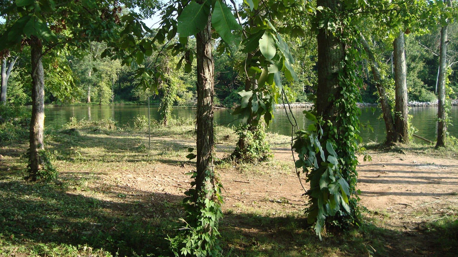
The Tennessee River seen through ivy-wrapped trees from a shaded grassy clearing at Tuscumbia Landing.NPS / public domain
🏛️Historical

Tuscumbia Landing

Part ofMuscle Shoals & Northwest Alabama

The river landing at the mouth of Spring Creek where Cherokee and Creek removal parties left the rail cars for steamboats, now a quiet park on the Trail of Tears National Historic Trail.

⏱
Duration
Twenty to forty minutes.
🎟
Admission
Free.
📅
Best Season
Year round.

The Story

Where Spring Creek meets the Tennessee River below Blackwell Road in Sheffield, a grassy park marks the river port that served Tuscumbia from 1824. The Muscle Shoals upstream made the river hard to navigate much of the year, so in 1831 and 1832 a horse-drawn railroad, the first west of the Appalachians, was laid from Tuscumbia to this landing. In 1834 it reached Decatur as the Tuscumbia, Courtland and Decatur Railroad, about 43 miles of track around the shoals.

That railroad became a road of removal. Before 1838, water-route detachments of Muscogee (Creek), Choctaw and other nations passed this point bound for Indian Territory. In March 1837 a Cherokee party of the treaty faction, Major Ridge among them, rode the train here and boarded a steamboat. In June 1838, after the Army had rounded up the Cherokee Nation, detachments under Lt. Edward Deas and Lt. Robert H. K. Whiteley came down the river to Decatur, where low water and the shoals put them on the rail cars to this landing and onto boats again. They camped near the landing while they waited.

Union troops under Col. John Basil Turchin damaged the landing in April 1862, and Gen. Grenville Dodge's men destroyed it in April 1863. Florence took the river trade after the war, and the warehouses were never rebuilt. The site went on the National Register in 1982 and is part of the Trail of Tears National Historic Trail, kept by the City of Sheffield. There is little to see but still water and ivy-hung trees.

Visitor Info

⏱
Time Needed
Twenty to forty minutes.
🎟
Admission
Free.
📅
Best Season
Year round.
🛣️
Highway
Blackwell Road

On the Map

Nearby

The closest stops worth working into your route

historical1 mi away
Ivy Green, Birthplace of Helen Keller
The 1820 Keller family house in Tuscumbia, with the cottage where Helen Keller was born and the pump where Anne Sullivan spelled water into her hand in 1887.
cultural2.8 mi away
Muscle Shoals Sound Studio
The plain building at 3614 Jackson Highway where the Swampers set up on their own in 1969 and recorded the Rolling Stones, the Staple Singers and Lynyrd Skynyrd.
cultural3 mi away
FAME Studios
Rick Hall's concrete-block studio on Avalon Avenue where Arthur Alexander, Wilson Pickett and Aretha Franklin cut records with the white session men later called the Swampers.
cultural3.8 mi away
W. C. Handy Birthplace, Museum and Library
The log cabin where W. C. Handy, the Father of the Blues, was born in 1873, rebuilt in Florence beside a museum holding the piano he wrote St. Louis Blues on.
historical3.9 mi away
Florence Indian Mound and Museum
The largest Native earthwork in the Tennessee Valley, a Middle Woodland platform 43 feet high on the riverbank in Florence, with a city museum at its foot.
industrial6.3 mi away
Wilson Dam
The World War I nitrate dam on the Muscle Shoals that Henry Ford tried to buy and that became the cornerstone of the TVA, with a 100-foot single-lift lock.

Historical markers nearby

Roadside plaques and monuments within a short detour

Marker3.7 mi away
Rosenbaum House Museum
Florence
Marker3.7 mi away
W. C. Handy Birthplace
Florence
Marker4.2 mi away
Dred Scott
Florence
Marker4.7 mi away
Wesleyan Hall 1855
Florence
Marker6.4 mi away
Oscar Stanton DePriest
Florence
Marker6.4 mi away
Belle Mont
Tuscumbia