Home / Alabama / Muscle Shoals & Northwest Alabama / Florence Indian Mound and Museum
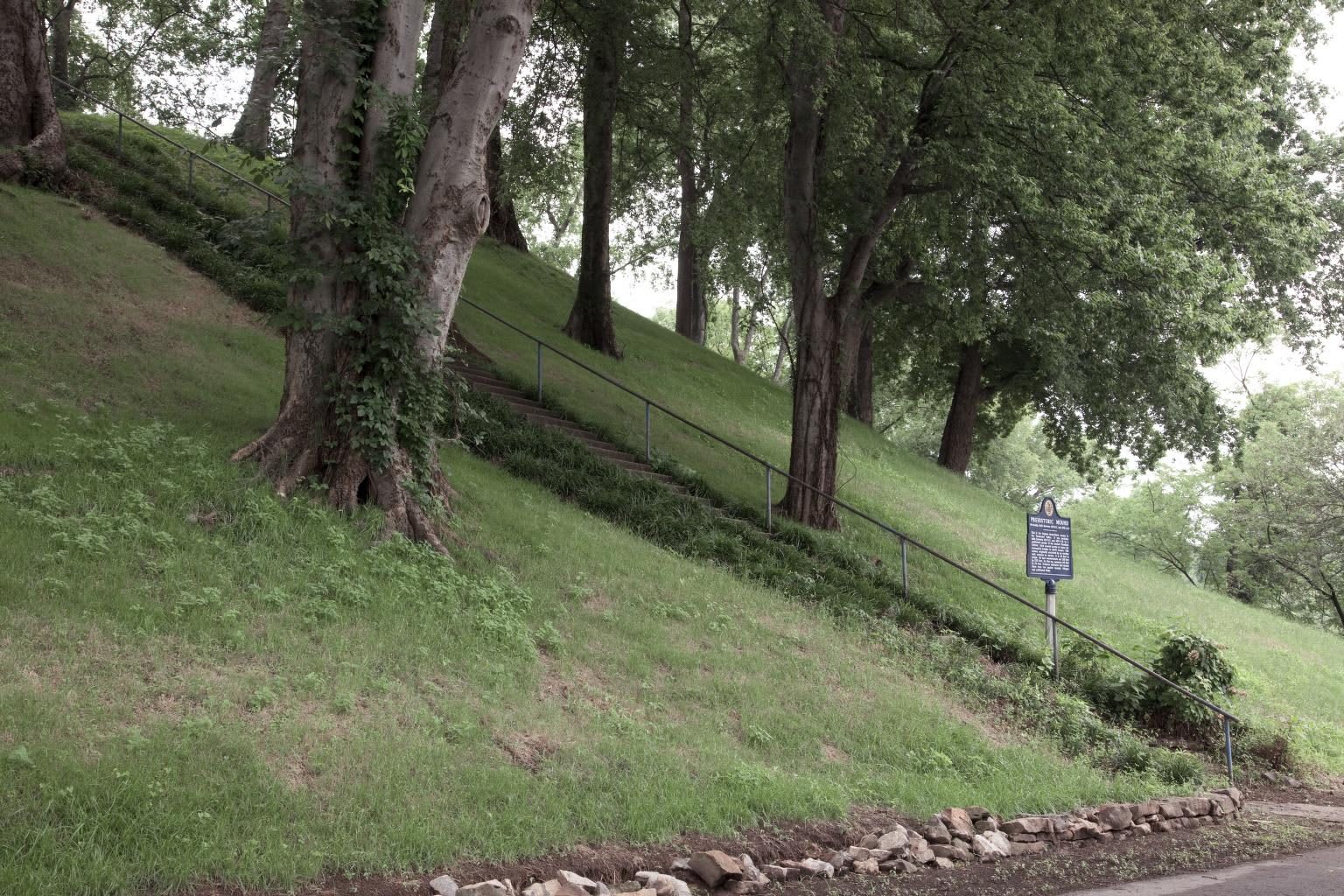
The grassy flank of the Florence Indian Mound under tall shade trees, with a handrailed stair climbing its side and a marker at the foot.Carol M. Highsmith / public domain via Library of Congress
🏛️Historical

Florence Indian Mound and Museum

Part ofMuscle Shoals & Northwest Alabama

The largest Native earthwork in the Tennessee Valley, a Middle Woodland platform 43 feet high on the riverbank in Florence, with a city museum at its foot.

⏱
Duration
One hour.
🎟
Admission
Museum admission charged; walking to the top of the mound is free.
📅
Best Season
Year round; spring and fall are best for the climb.

The Story

The flat-topped mound at the foot of South Court Street is the largest Native earthwork in the Tennessee Valley: four-sided, about 310 by 230 feet at the base and 43 feet high, once ringed by an earthen wall perhaps 12 to 15 feet tall. Excavations by the University of Alabama in 1996 and 1997 found two building stages with a layer of pottery and flaked stone between them, which dates the mound to the Middle Woodland period, roughly 1 to 500 CE, older than the Mississippian date long assumed. Clarence Moore dug 34 test pits on the summit in 1914 and found nothing, a sign that the builders gathered here rather than lived on top.

Drawings from the 1820s show six sides and a half-ring of embankment; plowing wore it down to four. Florence was laid out in 1818 while the federal government was pushing the Chickasaws, Cherokees, Creeks and Choctaws off their lands, and the settlers who bought this floodplain valued it for crops. In the later 1800s the Katchelman family, immigrants from Bavaria, farmed its slopes and built their first house on the summit. In February 1945 Martha Ashcraft Dabney and her daughter, Ida Josephine Dabney Brabson, gave the mound to the city.

The city opened a small museum beside it in 1968 and replaced it in 2017 with a larger building whose cases run from projectile points thousands of years old to contemporary Native clothing and pottery. Then walk to the top. The river is a stone's throw away, and the mound was built of its soil, on ground the floods reach.

Visitor Info

⏱
Time Needed
One hour.
🎟
Admission
Museum admission charged; walking to the top of the mound is free.
📅
Best Season
Year round; spring and fall are best for the climb.
🛣️
Highway
South Court Street (US 43/72)

On the Map

Nearby

The closest stops worth working into your route

cultural0.8 mi away
W. C. Handy Birthplace, Museum and Library
The log cabin where W. C. Handy, the Father of the Blues, was born in 1873, rebuilt in Florence beside a museum holding the piano he wrote St. Louis Blues on.
cultural1.6 mi away
Muscle Shoals Sound Studio
The plain building at 3614 Jackson Highway where the Swampers set up on their own in 1969 and recorded the Rolling Stones, the Staple Singers and Lynyrd Skynyrd.
industrial2.7 mi away
Wilson Dam
The World War I nitrate dam on the Muscle Shoals that Henry Ford tried to buy and that became the cornerstone of the TVA, with a 100-foot single-lift lock.
cultural3.1 mi away
FAME Studios
Rick Hall's concrete-block studio on Avalon Avenue where Arthur Alexander, Wilson Pickett and Aretha Franklin cut records with the white session men later called the Swampers.
historical3.9 mi away
Tuscumbia Landing
The river landing at the mouth of Spring Creek where Cherokee and Creek removal parties left the rail cars for steamboats, now a quiet park on the Trail of Tears National Historic Trail.
historical4.2 mi away
Ivy Green, Birthplace of Helen Keller
The 1820 Keller family house in Tuscumbia, with the cottage where Helen Keller was born and the pump where Anne Sullivan spelled water into her hand in 1887.

Historical markers nearby

Roadside plaques and monuments within a short detour

Marker0.6 mi away
Rosenbaum House Museum
Florence
Marker0.7 mi away
Dred Scott
Florence
Marker0.9 mi away
W. C. Handy Birthplace
Florence
Marker1.4 mi away
Wesleyan Hall 1855
Florence
Marker2.5 mi away
Oscar Stanton DePriest
Florence
Marker5 mi away
Forks of Cypress
Florence