Home / South Dakota / Deadwood & the Northern Hills / Spearfish Canyon
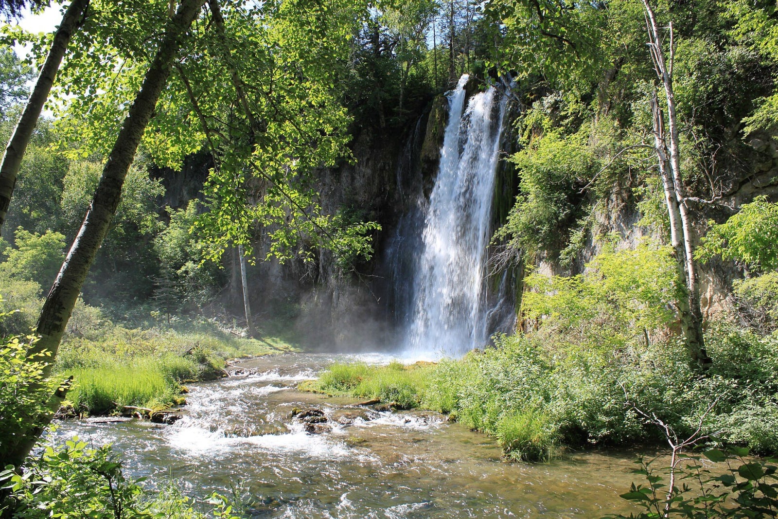
Spearfish Falls pouring over a limestone ledge into the creek below, framed by green woodsShawn Steinfeger / CC0 via Wikimedia Commons
🌲Natural

Spearfish Canyon

Part ofDeadwood & the Northern Hills

A limestone canyon nineteen miles long whose waterfalls ran dry for most of a century while the Homestake piped their water to its power plants.

Scenic DrivingFilm LocationsFallFree
⏱
Duration
Half a day with the falls trails.
🎟
Admission
Free.
📅
Best Season
Late September and early October for color; the road stays open in winter.

The Story

Spearfish Creek runs north off the limestone plateau of the northern Black Hills and has cut a canyon about nineteen miles long down to the town of Spearfish, with US-14A following its bends. Bridal Veil Falls spills sixty feet down a cliff beside the highway. Near the top, at Savoy, Spearfish Falls drops behind the Latchstring restaurant, and a short trail up Little Spearfish Creek reaches Roughlock Falls. The closing winter scenes of Dances with Wolves were filmed on Forest Road 222 a few miles above it.

For most of the twentieth century much of this water belonged to the Homestake. Spearfish Falls had been a tourist stop since the 1890s, when Burlington trains halted on a trestle above it, but in 1916 the mine began piping water out of Spearfish and Little Spearfish creeks to run its hydroelectric plants, and the falls went dry. The creeks were let back into their beds in late 2003, after the mine closed, and the state took over the falls from the company. Under a 2026 state law the 1917 Hydro Electric Plant No. 2, near the Devil's Bathtub trailhead, passed from the state to the Spearfish Canyon Foundation, with an eye to making it an interpretive center.

The canyon is at its best in late September and early October, when the birch and aspen turn yellow against the gray walls. The road stays open in winter, and the falls freeze.

Visitor Info

⏱
Time Needed
Half a day with the falls trails.
🎟
Admission
Free.
📅
Best Season
Late September and early October for color; the road stays open in winter.
🛣️
Highway
US-14A

On the Map

Nearby

The closest stops worth working into your route

industrial8.2 mi away
Homestake Open Cut & Sanford Lab Visitor Center
A 1,250-foot pit on Lead's Main Street, the visible top of a gold mine that went down 8,000 feet in 125 years and is a physics laboratory now.
historical10 mi away
Deadwood Historic District
A gold-rush town on treaty land, rebuilt in brick after the 1879 fire and rescued a century later by a vote to let casinos pay for its preservation.
historical10 mi away
Mount Moriah Cemetery
The hillside where Deadwood moved its dead: Wild Bill and Calamity Jane side by side, Seth Bullock looking at his friend's tower, and the Chinese burner of 1908.
cultural17 mi away
Vore Buffalo Jump
A gypsum sinkhole where hunters trapped bison for 250 years, each hunt sealed in its own layer, and the reason Interstate 90 bends south here.
industrial23 mi away
Aladdin Coal Tipple
The last nineteenth-century wooden coal tipple believed to stand in the country, which fed Black Hills gold smelters and is now close to falling.
cultural26 mi away
Bear Butte
Mato Paha to the Lakota and Noahvose to the Cheyenne, a lone mountain off the plains where both nations still come to fast and pray.

Historical markers nearby

Roadside plaques and monuments within a short detour

Marker20 mi away
Inyan Kara Methodist Episcopal Church
Sundance, Wyoming
Marker21 mi away
Crook County
Sundance, Wyoming
Marker21 mi away
Custer Expedition
Sundance, Wyoming
Marker22 mi away
Canyon Springs Station: Site of the "Treasure Run" Stage Robbery
Wyoming
Marker29 mi away
Cambria Salt Mine
Wyoming