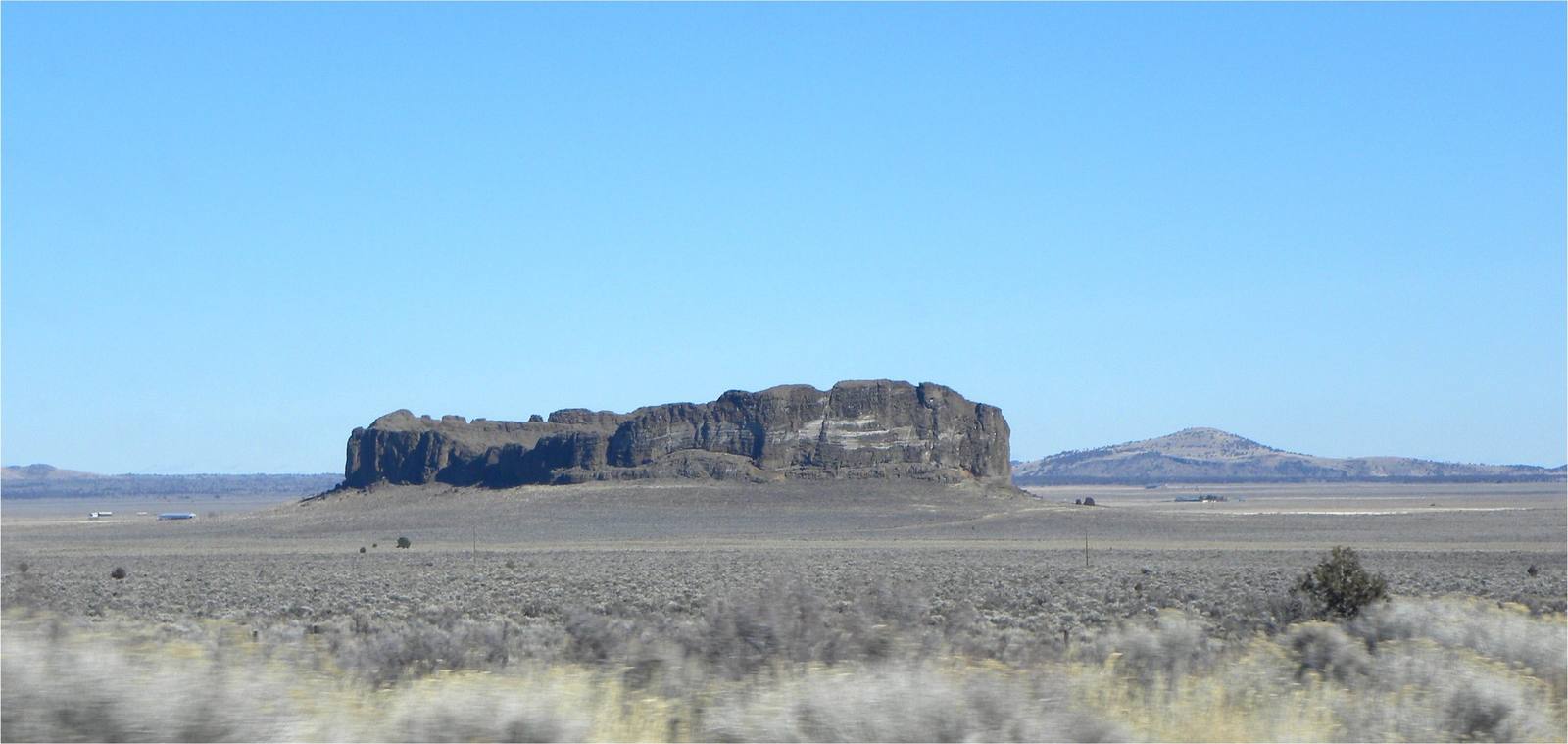
 MARELBU / CC BY 3.0 via Wikimedia Commons
The Story
Fort Rock is a tuff ring, the rim of a steam explosion. Somewhere between fifty and a hundred thousand years ago, basalt magma rising here met water, either a shallow lake or the saturated ground beneath it, and flashed it to steam. The blasts threw up ash, mud and shattered rock that fell around the vent in a ring almost a mile across, and the ash hardened into tuff. Part of the wall later broke away, leaving the horseshoe of sheer cliffs that reminded settlers of a stockade and gave the rock its name.
Then the lake rose. In the wetter climate of the ice ages Fort Rock Lake spread across hundreds of square miles of this valley, at times more than a hundred feet deep around the rock, and its waves cut into the outside of the ring. The flat benches and notches on the cliffs, plainest on the southern prongs, are old shorelines, and at times only the tops of the walls stood above the water as islands. People were living in this basin during some of those times.
Reuben and Eleanor Long, the ranch family who owned it, gave the rock to the state in 1962, and it is now Fort Rock State Natural Area. A trail runs inside the ring, and cattle paths circle the outside. A mile south, the small community of Fort Rock keeps the Fort Rock Valley Historical Homestead Museum. Fort Rock Cave, in a smaller tuff ring a short distance west, is closed to the public except on guided tours arranged through Oregon State Parks.
Visitor Info
On the Map
Nearby
The closest stops worth working into your route
Historical markers nearby
Roadside plaques and monuments within a short detour