Home / California / Joshua Tree & the Southern Deserts / Salton Sea
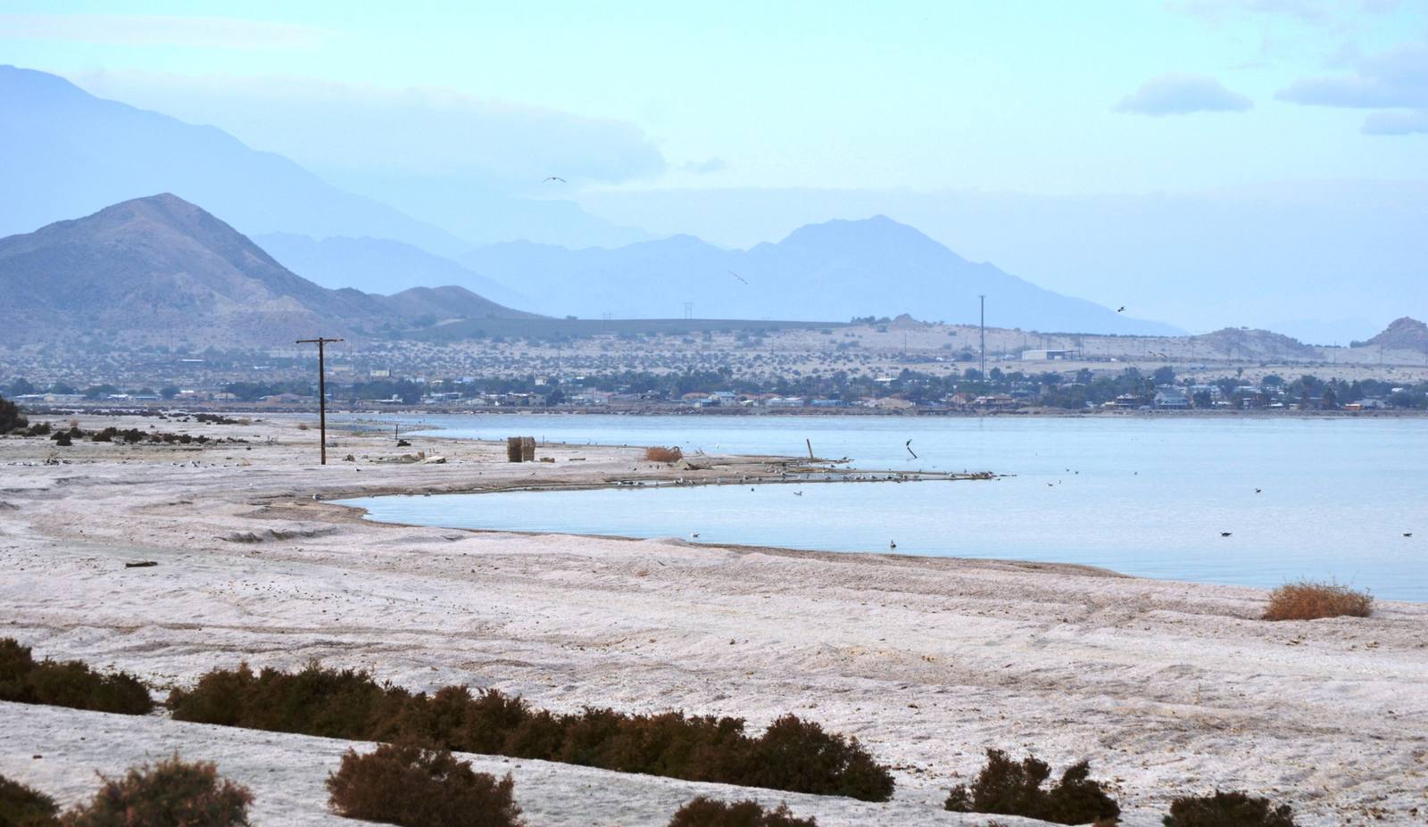
Salton SeaNandaro / CC BY-SA 3.0 via Wikimedia Commons
๐ŸŒฒNatural

Salton Sea

Part ofJoshua Tree & the Southern Deserts

California's largest lake, made by accident in 1905 and shrinking ever since.

โฑ
Duration
A half day to drive the east or west shore with stops.
๐ŸŽŸ
Admission
Free to view from the highway; the state recreation area charges a day-use fee.
๐Ÿ“…
Best Season
November through March; summer is brutal and the odor is worst in warm months.
๐Ÿ’ก
Fun Fact
The lake sits in the bed of ancient Lake Cahuilla, whose waterline is still visible as a pale bathtub ring on the hills above the northwest shore.

The Story

It was an engineering mistake. In 1905 the Colorado River, running high, broke through a poorly built diversion cut on the Alamo Canal and turned south into the Salton Sink instead of the Gulf. It kept pouring for the better part of two years before the Southern Pacific closed the breach in February 1907, by which time it had filled a basin more than two hundred feet below sea level and created what is still the largest lake in California. The basin had held water before, under the ancient Lake Cahuilla, whose old shoreline is legible on the hills to the northwest.

For a few decades the accident looked like a gift. Speedboats set world records on it in 1929, the state stocked it with corvina and sargo in the 1950s, and yacht clubs and beach subdivisions went up around the shore. But the lake has no outlet and is fed almost entirely by farm runoff, so it grows saltier every year. The fisheries collapsed, the resorts emptied, and the water is now well saltier than the Pacific.

Now the shoreline recedes and the exposed playa blows dust into a valley with some of the worst childhood asthma rates in California, while the geothermal brine underneath it holds one of the world's largest known lithium deposits. The stops worth making are Bombay Beach on the east shore and the state recreation area on the north.

Visitor Info

โฑ
Time Needed
A half day to drive the east or west shore with stops.
๐ŸŽŸ
Admission
Free to view from the highway; the state recreation area charges a day-use fee.
๐Ÿ“…
Best Season
November through March; summer is brutal and the odor is worst in warm months.
๐Ÿ›ฃ๏ธ
Highway
CA-111 / CA-86

On the Map

Stories

A story featuring this place

Go deeper into the history and character of this stop

Culture
The Word They Used Was Abatement
JoAnn ยท 7 min read

Nearby

The closest stops worth working into your route

cultural4.3 mi away
Bombay Beach
The lowest town in America: a drowned resort turned open-air art colony, 223 feet below sea level.
roadside19 mi away
Salvation Mountain
One man, thirty years, half a million gallons of donated paint, and a hill that says God is Love.
cultural33 mi away
Borrego Springs
A dark-sky town ringed by state park, with 130 metal beasts loose in the desert around it.
natural34 mi away
Anza-Borrego Desert State Park
Six hundred thousand acres of badlands, slot canyons, and palm oases, and the biggest state park in California.
natural41 mi away
Joshua Tree National Park
Where the high Mojave meets the low Colorado, among monzogranite piles and a yucca that is not a tree.
natural43 mi away
Cholla Cactus Garden
Ten acres of teddybear cholla that look soft and are anything but, at the seam between two deserts.