 Steven Lek / CC BY-SA 4.0 via Wikimedia Commons
The Story
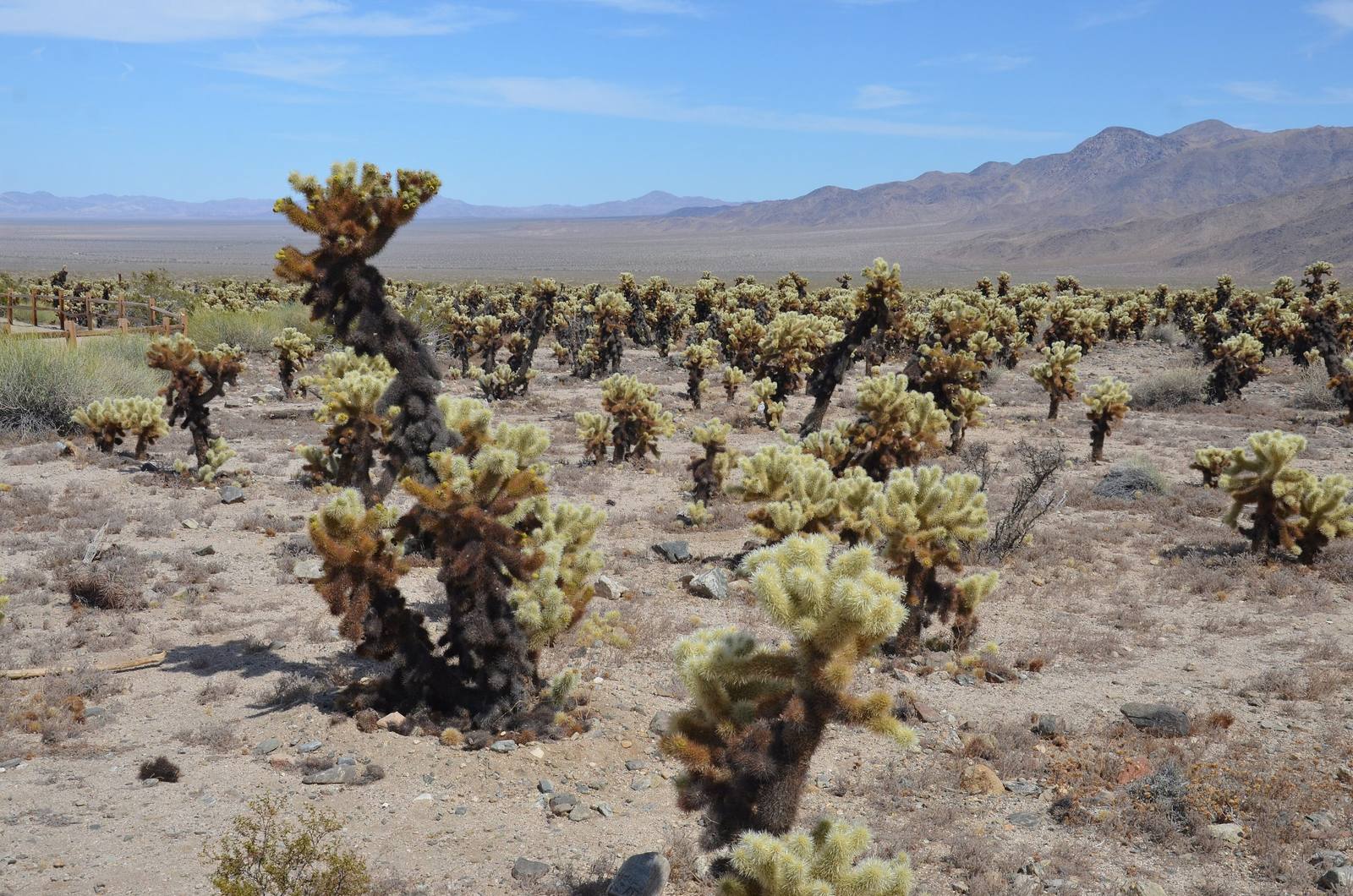
Roughly ten acres of dense teddybear cholla stand in the Pinto Basin, on the exact stretch of Pinto Basin Road where the Mojave has given up and the Colorado Desert has taken over. Nowhere else in Joshua Tree National Park does one species mass like this. The stand exists because of soil and drainage in this particular basin, and it will not last forever; cholla gardens grow, age, and die out over centuries.
Cylindropuntia bigelovii earns its nickname at low sun. Backlit at dawn or in the last hour of light, the dense pale spines glow silver and the whole field looks like fur, which is the cruelest optical illusion in the desert. The spines are barbed and the joints detach at the lightest contact, which is why the plant is also called jumping cholla. It is not jumping. You brushed it.
A quarter-mile loop runs through the middle of the garden on packed sand. Wear closed shoes, keep children close, and keep your hands to yourself. Rangers and regulars carry a cheap comb for the specific purpose of levering a stuck joint off skin without grabbing it.
Most of the cholla you see are clones. The species reproduces largely by dropped segments taking root, so this whole shimmering field is closer to a single spreading colony than a forest of individuals.
Visitor Info
On the Map
Nearby
The closest stops worth working into your route
Historical markers nearby
Roadside plaques and monuments within a short detour