Home / Washington / The Olympic Peninsula & the Coast / Ruby Beach
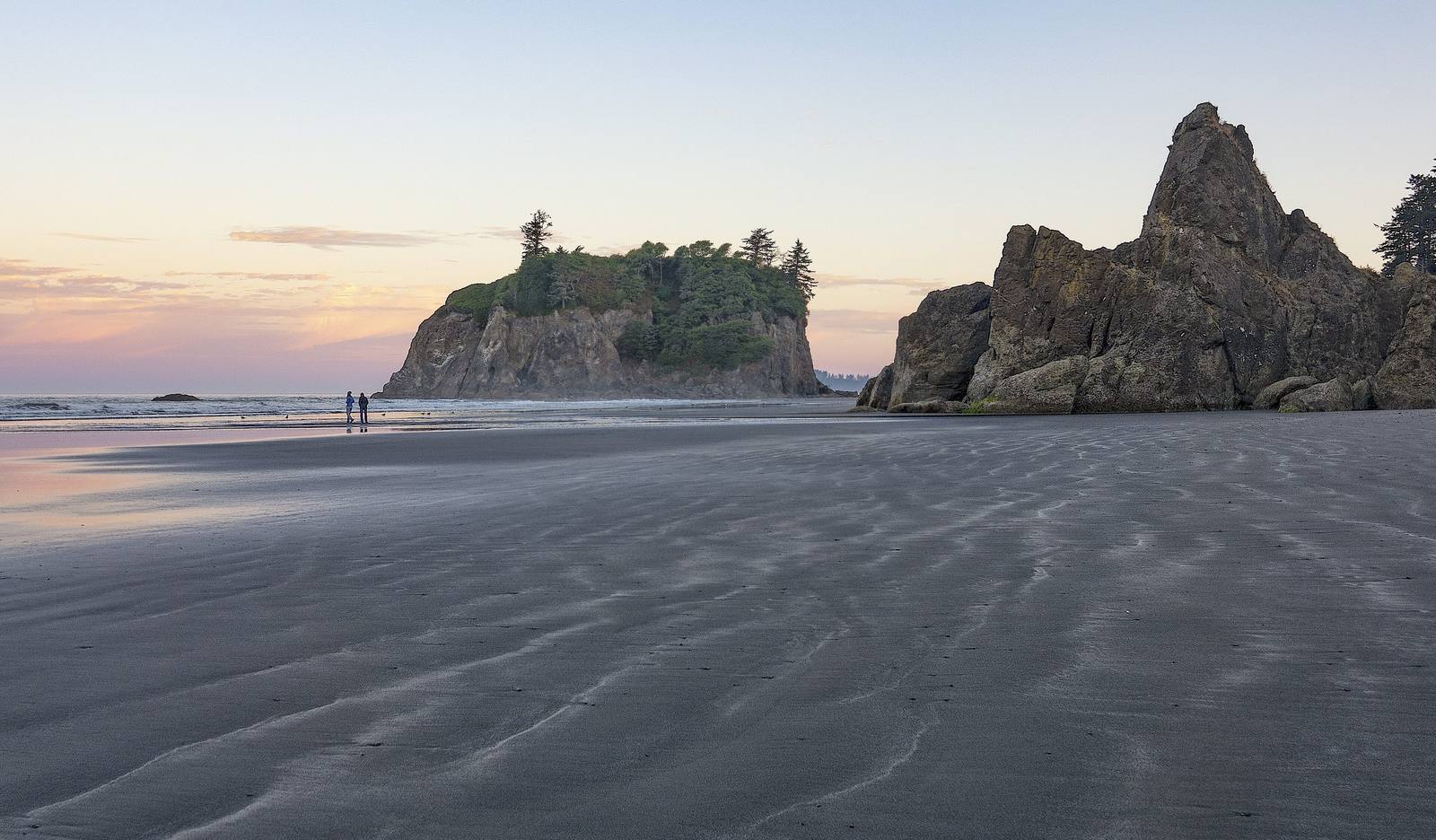
Ruby Beach at low tide, rippled wet sand running out to tree-topped Abbey Island and a jagged sea stack, two people walking at the water's edgeJohn Fowler / CC BY 2.0 via Wikimedia Commons
🌲Natural

Ruby Beach

Part ofThe Olympic Peninsula & the Coast
On this driveUS-101: The Olympic Peninsula Loop

Driftwood, sea stacks and a short walk down from US-101, with Destruction Island offshore and two names on the chart that tell only the sailors' side.

Year-RoundFree
⏱
Duration
Half an hour to an hour.
📅
Best Season
Year-round; low tide for the tidepools.

The Story

A short trail drops from the highway through spruce to a beach where Cedar Creek fans out across the sand, driftwood logs are stacked at the tide line, and sea stacks stand in the surf, Abbey Island the largest of them. At low tide the rocks hold anemones and sea stars. It is one of the few places on the Olympic coast where US-101 comes close enough to the ocean to walk down to it.

Offshore, about three and a half miles out, is Destruction Island, flat-topped, with a lighthouse first lit on January 1, 1892. Its name carries two encounters on this coast, both recorded only by the ships. In July 1775 the Spanish schooner Sonora, under Juan Francisco de la Bodega y Quadra, sent seven men ashore for wood and water, near what is now Point Grenville on the Quinault coast to the south, and all seven were killed; Bodega named the island Isla de Dolores, the island of sorrows. In 1787 the fur trader Charles Barkley of the Imperial Eagle sent a boat's crew up the river just north of here, and they did not come back. Barkley called it Destruction River. Later chart-makers moved his name out to the island, and the river took back the name of the people who lived on it, the Hoh.

What the Quinault and the Hoh made of those landings, and why they ended as they did, is nowhere on the charts; the names keep the sailors' grief and nothing else. The beach belongs to Olympic National Park, and the Hoh reservation sits at the river mouth a few miles north.

Visitor Info

⏱
Time Needed
Half an hour to an hour.
📅
Best Season
Year-round; low tide for the tidepools.
🛣️
Highway
US-101

On the Map

Nearby

The closest stops worth working into your route

natural25 mi away
Hoh Rain Forest
Twelve to fourteen feet of rain a year, spruce standing in rows on the logs that nursed them, and the elk Theodore Roosevelt set the first park lands aside for.
historical43 mi away
Glines Canyon Spillway Overlook
A viewpoint built on the spillway of a 210-foot dam that is no longer there, above a valley that was a reservoir for most of a century.
cultural46 mi away
Makah Cultural and Research Center
The tribe's own museum at the end of the road, built around the whale hunt and the treaty that is the only one the United States ever signed naming a right to whale.
historical84 mi away
English Camp
Twelve years of a British garrison on a Coast Salish shell midden, with a formal garden, a blockhouse that outlived the empire's claim, and a cemetery on the hill.
historical85 mi away
Ebey's Landing
A bluff trail above the beach where, in August 1857, a Kake raiding party came ashore to answer the shelling of their camp at Port Gamble the year before.
historical86 mi away
Old Man House Park
An acre of beach on Agate Passage where the largest winter house on the coast stood until the government burned it in 1870.