Home / Washington / The Olympic Peninsula & the Coast / Hoh Rain Forest
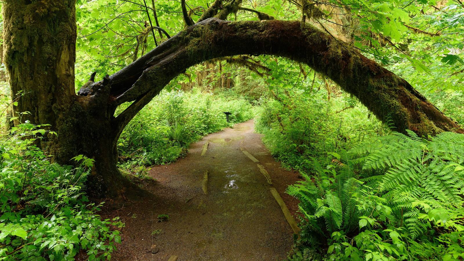
A moss-covered trunk arching over the path in the Hall of Mosses, ferns crowding both sidesKing of Hearts / CC BY-SA 4.0 via Wikimedia Commons
🌲Natural

Hoh Rain Forest

Part ofThe Olympic Peninsula & the Coast
On this driveUS-101: The Olympic Peninsula Loop

Twelve to fourteen feet of rain a year, spruce standing in rows on the logs that nursed them, and the elk Theodore Roosevelt set the first park lands aside for.

Year-RoundFamily-FriendlyPaid EntryHiking
⏱
Duration
One to two hours for the short loops; a full day on the river trail.
📅
Best Season
Year-round; wettest from fall through spring, when the moss is at its greenest.

The Story

The Upper Hoh Road runs some eighteen miles up the valley from US-101, and by the end of it the forest is something else: Sitka spruce and western hemlock two hundred feet tall, bigleaf maples hung so thickly with club moss and licorice fern that the branches disappear. Twelve to fourteen feet of rain fall here in an average year, among the wettest places in the lower forty-eight.

A tree that falls on this floor becomes a nursery. Seedlings that cannot get a start in the moss take root on the rotting log, and when the log is gone the trees stand on their roots in a straight line, a colonnade that marks where it lay. The Hall of Mosses, a loop of less than a mile from the visitor center, walks through the best of it, and the Spruce Nature Trail follows the river.

The herds that graze the valley floor are Roosevelt elk, the largest elk in North America, and their browsing helps keep the forest open underneath. They are the reason the park began. On March 2, 1909, two days before he left office, Theodore Roosevelt proclaimed Mount Olympus National Monument, largely to protect the elk, and those lands became the heart of Olympic National Park in 1938. From the visitor center the Hoh River Trail runs seventeen miles up the valley toward the glaciers of Mount Olympus. Downstream, where the river meets the ocean, is the small reservation of the Hoh Tribe, whose name the river carries.

Visitor Info

⏱
Time Needed
One to two hours for the short loops; a full day on the river trail.
📅
Best Season
Year-round; wettest from fall through spring, when the moss is at its greenest.
🛣️
Highway
US-101

On the Map

Nearby

The closest stops worth working into your route

historical18 mi away
Glines Canyon Spillway Overlook
A viewpoint built on the spillway of a 210-foot dam that is no longer there, above a valley that was a reservoir for most of a century.
natural25 mi away
Ruby Beach
Driftwood, sea stacks and a short walk down from US-101, with Destruction Island offshore and two names on the chart that tell only the sailors' side.
cultural47 mi away
Makah Cultural and Research Center
The tribe's own museum at the end of the road, built around the whale hunt and the treaty that is the only one the United States ever signed naming a right to whale.
historical60 mi away
Ebey's Landing
A bluff trail above the beach where, in August 1857, a Kake raiding party came ashore to answer the shelling of their camp at Port Gamble the year before.
historical62 mi away
English Camp
Twelve years of a British garrison on a Coast Salish shell midden, with a formal garden, a blockhouse that outlived the empire's claim, and a cemetery on the hill.
historical65 mi away
Old Man House Park
An acre of beach on Agate Passage where the largest winter house on the coast stood until the government burned it in 1870.

Historical markers nearby

Roadside plaques and monuments within a short detour

Marker25 mi away
Juan de Fuca