 Magicpiano / CC BY-SA 4.0 via Wikimedia Commons
The Story
On June 17, 1876, eight days before the Little Bighorn, General George Crook's column came up Rosebud Creek looking for the Lakota and Cheyenne camps: about 1,300 men, cavalry and mounted infantry, with 176 Crow and 86 Shoshone warriors riding with them. Lakota and Cheyenne fighters, Crazy Horse among them, struck first, and it was the Crow and Shoshone who met the first charge and held it long enough for Crook to form his lines. The fighting rolled back and forth over these ridges for some eight hours, one of the largest battles of the Indian wars, and when it was over Crook's advance had been stopped. He withdrew south to resupply, and his column had no part in what happened on the Little Bighorn a week later.
The Cheyenne remember the day by one rescue. A Cheyenne fighter named Comes in Sight had his horse shot from under him and was left on foot in front of the soldiers and their scouts. His sister, Buffalo Calf Road Woman, rode out through the gunfire, took him up and carried him to safety. The Northern Cheyenne have called the fight Where the Girl Saved Her Brother ever since.
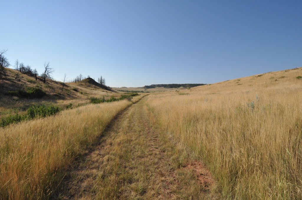
After the war the ground was opened to homesteading and passed through several ranching families, until Elmer "Slim" Kobold set out to see it kept. In 1978 the state bought 3,052 acres of his ranch for the park, and it remains one of the least disturbed battlefields in the country, grass and ridges with a buffalo jump cliff marked with petroglyphs. On June 17, 2026, Northern Cheyenne, Lakota, Crow, Shoshone and Arapaho people gathered here for the 150th anniversary, with horse rides, victory songs and the Cheyenne account of the battle. There is no camping; watch for rattlesnakes. Tongue River Reservoir, thirteen miles south, has campsites.
Visitor Info
On the Map
Nearby
The closest stops worth working into your route