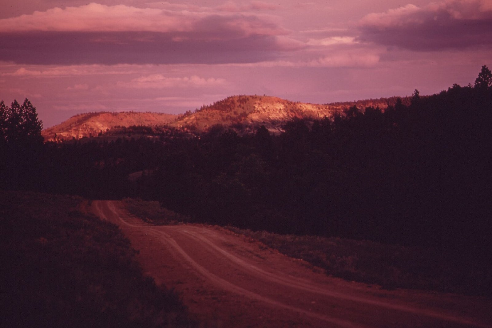
US-212: Belle Fourche to the Little Bighorn
About two hundred miles on US-212 from Belle Fourche to the Little Bighorn: a corner of Wyoming, Broadus on the Powder, St. Labre at Ashland, Lame Deer and its college, and the Two Moons monument at Busby.
The Route at a Glance
This road picks up where Deadwood to Devils Tower and down the Belle Fourche leaves off. From Belle Fourche, US-212 runs northwest across a corner of Wyoming and into Montana near Alzada, then through Broadus on the Powder River and on for about two hundred miles of grass and breaks to the Little Bighorn. How the Powder River country came into the war is told at Southeastern Montana, and how the Northern Cheyenne won the reservation this road crosses is told at Billings & the Little Bighorn.
## The Cheyenne road
West of Broadus the highway crosses the Tongue River at Ashland, where St. Labre, a Catholic mission school, opened in 1884, the year the reservation was set aside. It still teaches, from preschool through high school, and keeps a Cheyenne museum. From there to Busby the road runs through the Northern Cheyenne Reservation, about 444,000 acres and nearly all of it still owned by the tribe.
Lame Deer, the tribal capital, carries the name of a Miniconjou Lakota leader, Tȟáȟča Hušté. Colonel Nelson Miles's troops attacked his camp on Muddy Creek, about a mile southwest of the town, on May 7, 1877. Lame Deer was shot when the parley over his surrender broke down, and he died of his wounds. In September 1975 the tribal council chartered a college here under John Woodenlegs, the former tribal president. It began in army tents, teaching mining, construction and forestry, and in 2001 took the name Chief Dull Knife College, for Morning Star. North of town along Rosebud Creek are the Deer Medicine Rocks, on private land and seen only from the road.
## Busby
At Busby a stone pyramid stands beside the highway over the grave of Two Moons, the Cheyenne leader who fought at the Rosebud and the Little Bighorn and surrendered to Miles at Fort Keogh in 1877. A trader named Moncure raised it in 1936 with a vault of battle relics inside; thieves later emptied it. In 1993 seventeen Northern Cheyenne, ten men, five women and two children who died in the Indian wars, were buried in a circle near the monument, returned under federal repatriation law from Harvard's Peabody Museum, the Army's medical museum and the Smithsonian. Some had died after the breakout from Fort Robinson in 1879.
The Rosebud Battlefield lies twenty-six miles south of Busby by MT-314. West of Busby the highway climbs out of the Rosebud drainage and comes down to the Little Bighorn at Crow Agency.
The Drive, Stop by Stop
2 stops along the route, in driving order from Belle Fourche, South Dakota to Crow Agency, Montana. One of them sits off the road itself — the distance is noted on each.
- 1
- 2
That's the drive. Take your time, pull over often, and let US-212: Belle Fourche to the Little Bighorn do what it does best.
← Explore more of Open Road Guide