 ElBlueLimon / CC BY-SA 4.0 via Wikimedia Commons
The Story
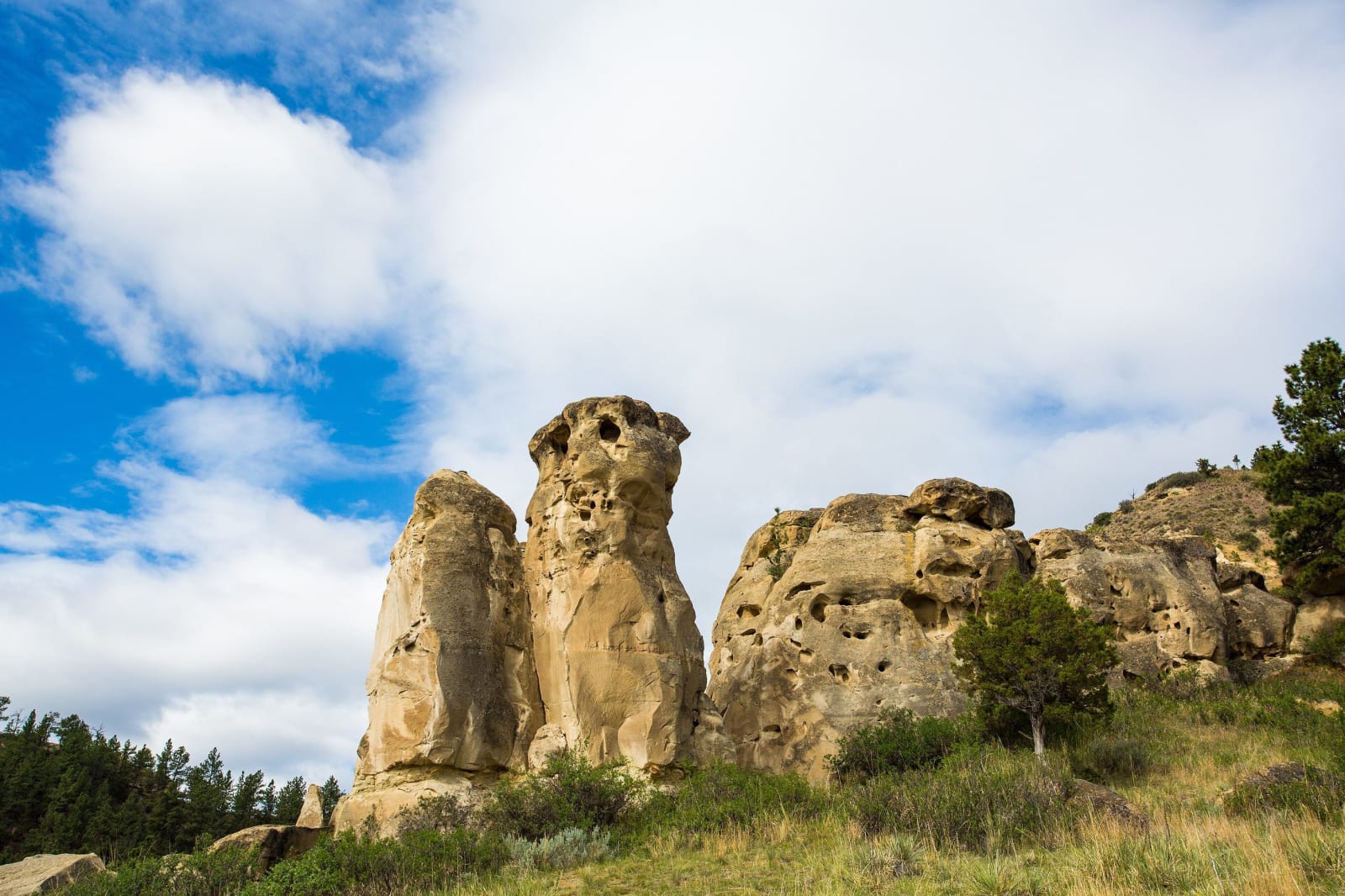
A sandstone outcrop rises about fifty feet above the west bank of Rosebud Creek, a couple of miles north of the mouth of Lame Deer Creek, and its walls are covered in images cut and painted over a very long time, some perhaps two thousand years old: elk and buffalo and their tracks, bear, mountain sheep, birds, a thunderbird, tepees, a man on horseback, a Sun Dance pole. Lightning once struck the northeast face, searing a blue stripe through the figure of a deer and breaking away a piece of the stone, and that gave the rocks the name most people use.
In early June 1876 a great encampment of Lakota, Cheyenne and others, probably more than three thousand people, gathered in the Rosebud Valley, and the Hunkpapa holy man Sitting Bull held a Sun Dance. In his vision he saw soldiers falling into the camp upside down, and heard a voice say they were being given to him because they had no ears. He took it to mean the soldiers would come in great numbers and without understanding, and that the people would win. The vision is on the rock: soldiers with long grasshopper legs, falling into a camp. Days later came the fight upstream on the Rosebud, and eight days after that the Little Bighorn.
When the rocks were made a National Historic Landmark in 2012, the nomination described them as the one place that tells the Battle of the Little Bighorn wholly from the Native side, and the first landmark of the Great Sioux War that is not a battlefield. Northern Cheyenne and Lakota people come here to pray and hold ceremonies. The rocks stand on private land just outside the Northern Cheyenne Reservation, north of Lame Deer. There is no public access; they are seen from the road along the creek, and left alone.
Visitor Info
On the Map
Nearby
The closest stops worth working into your route