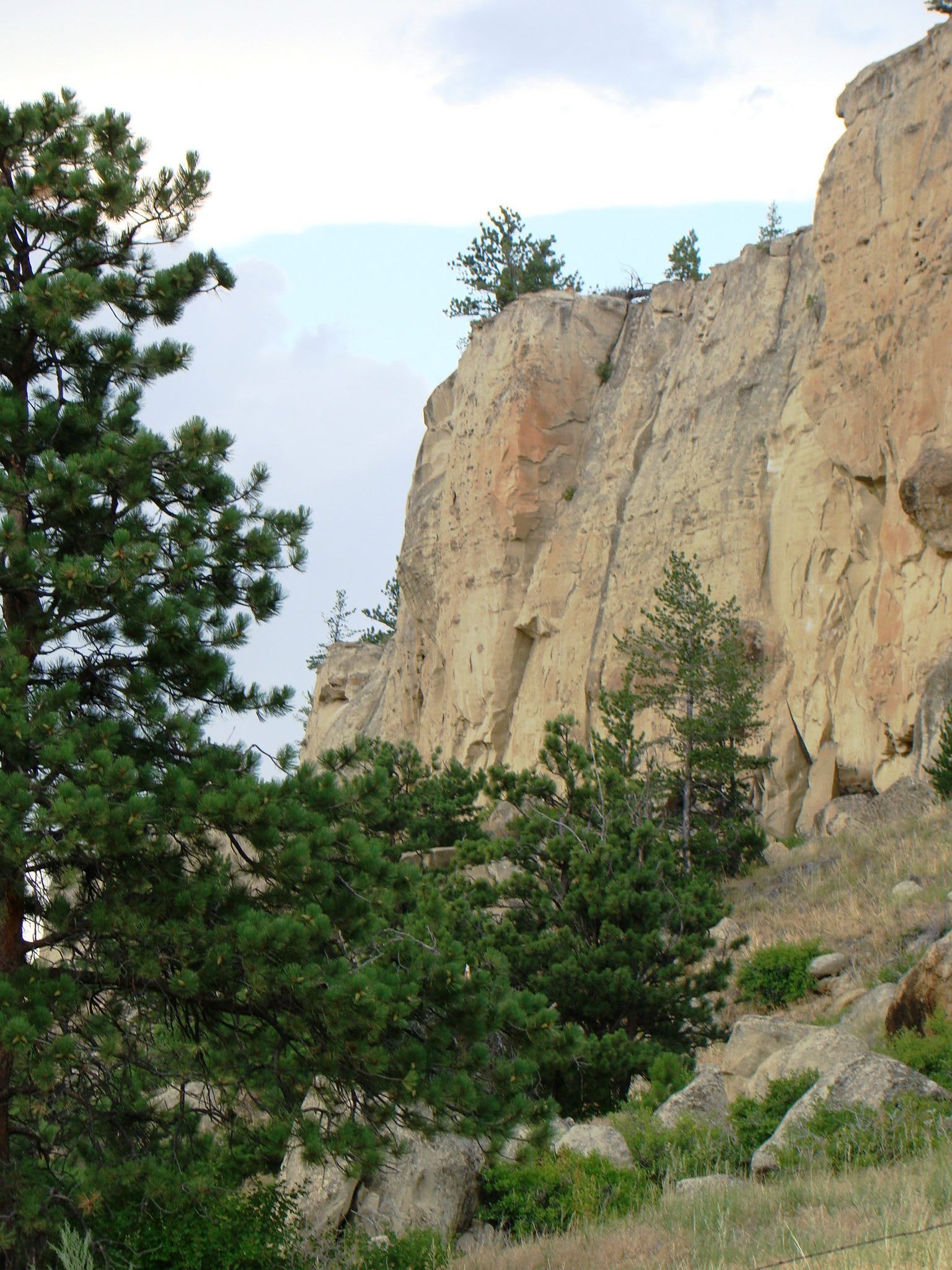
 Cathy Cline / CC BY-SA 3.0 via Wikimedia Commons
The Story
Billings knew the paintings long before anyone dug: three sandstone shelters in a side canyon southeast of town, called the Indian Caves and named Pictograph, Middle and Ghost. In 1937 amateur collectors turned up deep deposits of artifacts in their floors. The Montana Highway Commission bought the ground, and a Works Progress Administration crew began one of the first professional excavations in the state, with crowds coming out to watch, ten thousand in 1938. William Mulloy took over the dig in 1940 and worked its layers into a sequence. In 1958 he published it as an outline of the prehistory of the northwestern plains, and in most respects it has held.
The war ended the work in 1941. The shelters had given up more than 30,000 artifacts, stone and bone tools, points, a carved amulet, pottery and burned bone, and many of the collections were scattered or lost when the crews left. The caves sat neglected after the war until the Billings Archaeological Society and the city's boosters took them up. Mayor Willard Fraser signed an agreement with the state to run the site in 1963, made it a city park and pressed for a national designation, and it became a National Historic Landmark in 1964 and a state park in 1991.
The paintings are why people come, and they are going. In 1937 Melville Sayre recorded 106 images on the back wall of Pictograph Cave, figures in red and white and occasionally yellow painted over older ones in black. By one count only ten or twenty can still be made out, and mineral deposits cloud the rest; the park has been looking for ways to stabilize the wall. A paved trail climbs from the visitor center to all three shelters.
Visitor Info
On the Map
Nearby
The closest stops worth working into your route