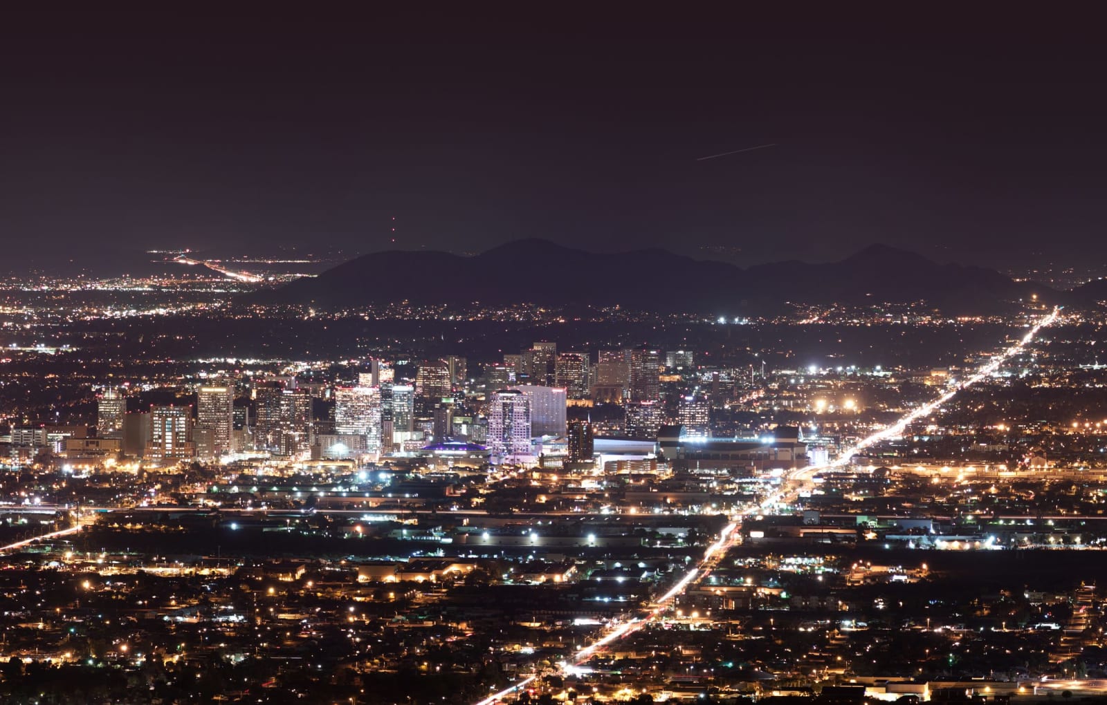
 Alan Stark / CC BY-SA 2.0 via Wikimedia Commons
The Story
Phoenix is the fifth-largest city in the United States, and it sits, deliberately, on the bones of an older one. For roughly a thousand years the ancestral Sonoran Desert people — the Huhugam, as their O'odham descendants call them — farmed the Salt River Valley off the largest canal network in ancient North America, hundreds of miles of channels dug by hand without a draft animal anywhere in the territory. When the villages emptied in the fifteenth century the canals stayed in the ground, and when Anglo settlers arrived in the 1860s they simply dug the old ditches out and ran water down them again. Modern Phoenix still follows some of those alignments; canals threading the metro trace lines first surveyed a millennium ago.
The name was an argument before it was a city. The 1867 settlers floated Pumpkinville, Salina, Stonewall, and Swilling's Mill, among others, before Darrell Duppa proposed Phoenix — a city rising from the ashes of the one beneath it — and it carried on a vote in 1868. The choice turned out to be the most honest thing about the place. You can still stand on the older city: Casa Grande Ruins preserves the great house downriver, and within Phoenix itself the platform mound at S'edav Va'aki — until recently called Pueblo Grande — is a Huhugam village sitting at the headgates of the ancient canals, open to walk.
Everything else came fast. Phoenix became the territorial capital in 1889, grew on cotton and citrus once Roosevelt Dam steadied the river in 1911, exploded once air conditioning made the summers survivable, and now spreads across the whole Valley of the Sun in a grid you can read from orbit. It is hot in a way that reorganizes a life — a hundred and ten degrees is an ordinary June afternoon — and it keeps the finest record of the people who solved that heat first at the Heard Museum across town. The city that named itself for resurrection is still, mostly, running on someone else's water.
Visitor Info
On the Map
Stories featuring this place
Go deeper into the history and character of this stop
Nearby
The closest stops worth working into your route
Historical markers nearby
Roadside plaques and monuments within a short detour