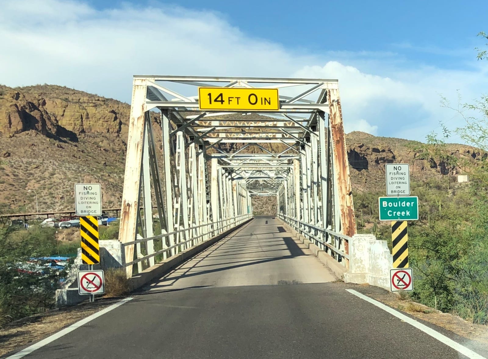
 Beyond My Ken / CC BY-SA 4.0 via Wikimedia Commons
The Story
The Apache Trail is a road built to build a dam. In 1903 the government began Theodore Roosevelt Dam far up the Salt River canyons, and to haul cement, steel, and men to a site with no way in, crews blazed a wagon road in 1904 across some of the roughest country in central Arizona — State Route 88, as it's numbered now, one of the first ten highways the state ever designated. The dam was finished in 1911, at the time the tallest masonry dam in the world; the road stayed, and it remains one of the great drives in the Southwest precisely because so little was ever done to smooth it.
From Apache Junction the pavement runs east past the Superstition Mountains and the blue slot of Canyon Lake to Tortilla Flat, a six-building "town" that is all that survives of the old freight stops. There the easy part ends. Beyond it the historic road turns to dirt and drops down Fish Creek Hill, a one-lane shelf cut into a cliff with a couple thousand feet of air off the edge. That stretch washed out in the 2019 floods, worsened by a fresh burn scar above it, and stayed closed five years; it reopened in the fall of 2024 to high-clearance four-wheel-drive and side-by-sides only — no trailers, no passenger cars, and conditions that can change with the next storm.
The name is borrowed. The wagon road roughly followed foot trails the Apache and Yavapai had used through these canyons long before any surveyor arrived, and a railroad's tourism office later hung the romantic label on it. Driven with respect for what it is — narrow, old, and indifferent to your schedule — it's a direct line into the country the dams rearranged: past reservoirs that drowned the Salt's wildest canyons, under cliffs the Salado built their houses into, and out the far end at the dam that made modern Phoenix possible.
Visitor Info
On the Map
A story featuring this place
Go deeper into the history and character of this stop
Nearby
The closest stops worth working into your route
Historical markers nearby
Roadside plaques and monuments within a short detour