 NPS / public domain via Wikimedia Commons
The Story
In October 1867 the Kiowa, Comanche, Plains Apache, Cheyenne and Arapaho insisted that their council with the government's Peace Commission be moved from Fort Larned to the Medicine Lodge River, a ceremonial ground they already used. Under the treaties of October 21 and 28, the Kiowa and Comanche gave up more than 60,000 square miles for a reservation of about three million acres in the southwest corner of Indian Territory. One clause promised that no more land could be ceded without the consent of three-fourths of the adult men.
It did not hold. The Jerome Commission came in 1892 for 160-acre allotments and the sale of the rest, and the Kiowa leader A'piatan accused it of fraud. Congress ratified a modified agreement in 1900, the Kiowa Tribe dates the opening of its land to settlers to August 6, 1901, and when Lone Wolf, another Kiowa leader, sued the Secretary of the Interior, the Supreme Court ruled in Lone Wolf v. Hitchcock in 1903 that Congress could set aside a treaty with a tribe whenever it chose.
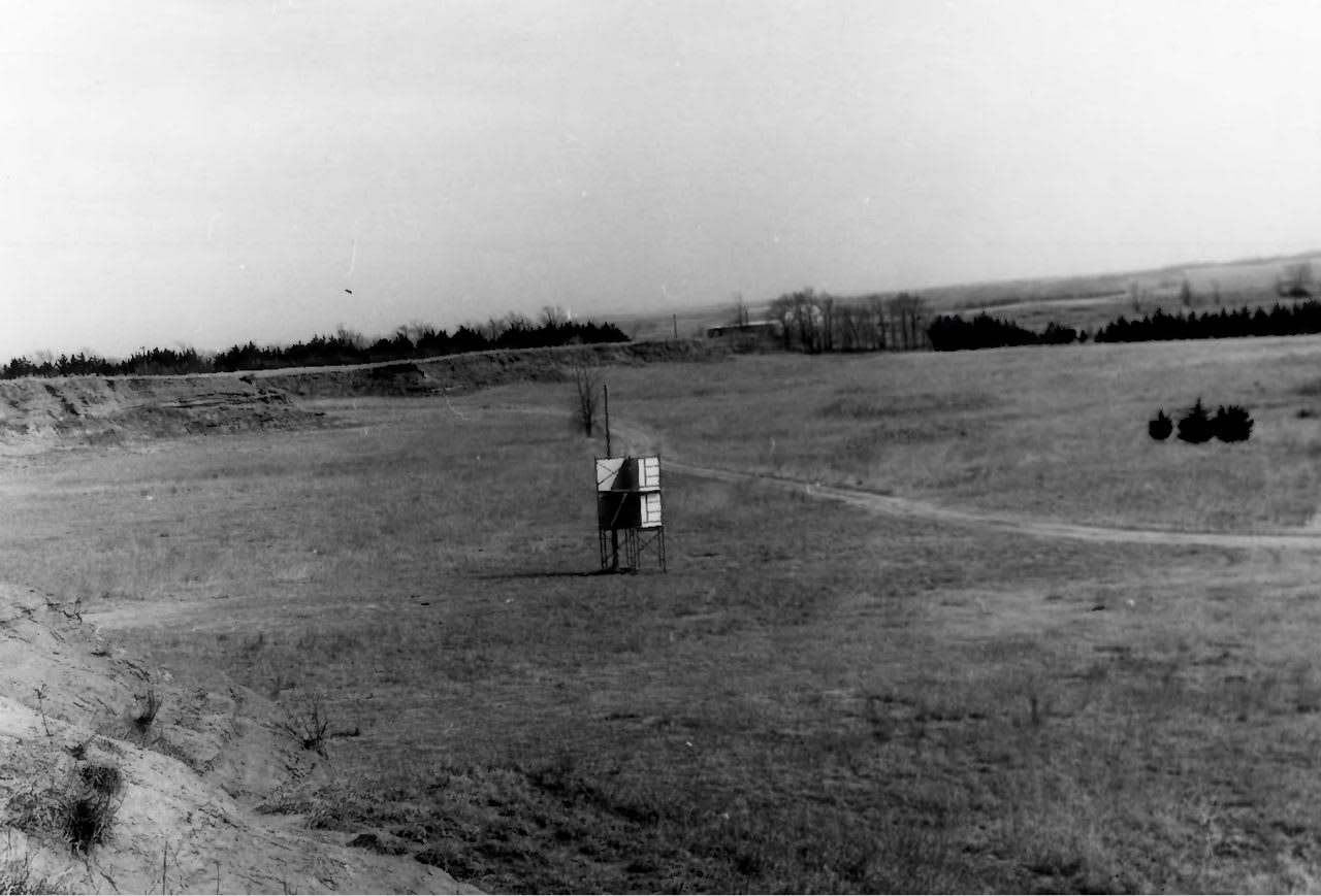
The council ground itself was lost until 1926, when the town engaged I-See-O, a Kiowa army sergeant who had attended the signing as a boy; with Kiowa records he placed it at the confluence of Elm Creek and the Medicine River, just southwest of the park entrance on US-160. Since 1927 the park's amphitheater has held the Peace Treaty Pageant, a settler town's retelling in which, the association says, descendants of the tribal signers perform the signing. The next is in September 2027.
Visitor Info
On the Map
A story featuring this place
Go deeper into the history and character of this stop
Nearby
The closest stops worth working into your route
Historical markers nearby
Roadside plaques and monuments within a short detour