Home / Alabama / Huntsville & the Tennessee Valley / Lake Guntersville State Park
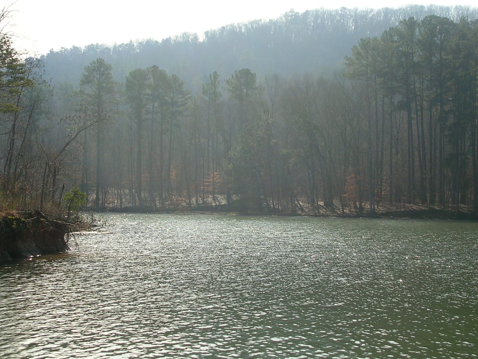
A cove of Lake Guntersville in Lake Guntersville State Park, with tall pines on a misty wooded ridge above the water.benuski / CC BY-SA 2.0 via Flickr
🌲Natural

Lake Guntersville State Park

Part ofHuntsville & the Tennessee Valley

Six thousand acres of ridge above the TVA lake at Guntersville, once Gunter's Landing, Cherokee land and an 1838 departure point on the Trail of Tears.

⏱
Duration
Half a day to several days.
🎟
Admission
Day-use fee (Alabama State Parks, 2026); lodge, cabins and campgrounds charge separately.
📅
Best Season
Year round; January and February for eagle weekends, spring and fall for hiking.

The Story

Before the lake, this stretch of the Tennessee belonged to the Cherokee. John Gunter, one of the first white settlers, came about 1785 and married a Cherokee woman; his great-grandson was Will Rogers. Gunter's Landing lay in the land the 1835 Treaty of New Echota took from the Cherokee, signed by a small faction the Nation never authorized, and in 1838 it served as one of the departure points from which Cherokee people were driven west on the Trail of Tears. The town that grew there took the name Guntersville in 1854.

The Tennessee Valley Authority built its dam just below the town in the 1930s, and the water spread over some 69,000 acres, leaving Guntersville on a peninsula. The state park opened in 1974 on the ridges east of town, and a tornado tore through it on April 27, 2011; the lodge, chalets and cottages have since been rebuilt on Taylor Mountain.

The lake is famous for largemouth bass and crappie, and the Town Creek Fishing Center rents boats. Bald eagles nest here, and the park's Eagle Awareness weekends each January and February draw people to the lodge for talks and guided walks. The 38 miles of trail cross rocky ridges and pass waterfalls, caves, old home sites and a ruined gristmill, and a naturalist leads a hike most Saturday mornings.

Visitor Info

⏱
Time Needed
Half a day to several days.
🎟
Admission
Day-use fee (Alabama State Parks, 2026); lodge, cabins and campgrounds charge separately.
📅
Best Season
Year round; January and February for eagle weekends, spring and fall for hiking.
🛣️
Highway
AL-227

On the Map

Nearby

The closest stops worth working into your route

geological12 mi away
Cathedral Caverns State Park
The largest commercial cave entrance on record, Goliath's 45-foot stalagmite and a river in the dark, a state park since 2000.
historical21 mi away
Scottsboro Boys Museum and Cultural Center
A former Methodist church a few blocks from the Jackson County courthouse, telling the 1931 case of nine young men falsely accused of rape and the Supreme Court rulings it produced.
geological27 mi away
Cherokee Rock Village
A county park of house-sized sandstone blocks on the south end of Lookout Mountain above Weiss Lake, a Cherokee place until 1838 and now one of the South's busiest climbing areas.
natural27 mi away
Noccalula Falls Park
A 90-foot waterfall on Black Creek at the edge of Gadsden, in old Cherokee country, carrying the name of a legend that white writers made popular in the 1890s.
historical28 mi away
Fort Payne Depot Museum
An 1891 sandstone depot in the town that grew around the 1838 stockade where Cherokee families from Willstown were held for removal, now a museum of the valley.
natural30 mi away
Monte Sano State Park
Huntsville's mountain park: an 1877 health resort gone, CCC stone cabins and lodge still standing, and twenty miles of trail above the Tennessee Valley.

Historical markers nearby

Roadside plaques and monuments within a short detour

Marker10 mi away
Kate Duncan Smith - Daughters of the American Revolution School
Grant
Marker15 mi away
Vienna (New Hope)
New Hope
Marker21 mi away
Robert E. Jones, Jr. / Jones House
Scottsboro
Marker23 mi away
Town of Gurley
Gurley
Marker24 mi away
Site of Ditto's Landing and Town of Whitesburg
Huntsville
Marker27 mi away
Trail of Tears
Brownsboro