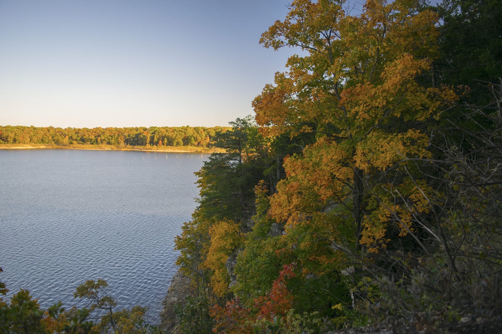
 Semipaw / CC BY 3.0 via Wikimedia Commons
The Story
Truman Lake began on paper as Kaysinger Bluff Dam and Reservoir, authorized on the Osage River by the Flood Control Act of 1954. In 1962 the plans were changed to add hydroelectric power and recreation to its purposes, and it is now the Harry S Truman Dam and Reservoir. The lake covers 55,600 acres of the Osage valley, part of the homeland of the Osage, the Wazhazhe, and later ground of explorers, fur trappers, traders and settlers. The state park opened in 1983 on a peninsula that runs out into the lake, so the water is on three sides.
That makes it a boating park first: a fully equipped marina with boat rentals, a four-lane launch by the large parking lot and a two-lane ramp near the campground, a sand swimming beach, and fishing for crappie, black bass, catfish and white bass.
The land is the other reason to come. Dry, open oak woodland covers much of the peninsula, with bands of rocky prairie on the south- and west-facing slopes, which the state calls a prime example of the western Ozarks before settlement. The Western Wallflower Glade Trail crosses glade and savanna where the orange western wallflower grows; it and plants such as stickleaf, Missouri spurge and plains muhly occur in no other Missouri state park. The Bluff Ridge Trail climbs through red oaks and sugar maples to a limestone bluff over the lake, where the widow's cross grows on the rock.
Visitor Info
On the Map
Nearby
The closest stops worth working into your route
Historical markers nearby
Roadside plaques and monuments within a short detour