 Ammodramus / CC0 via Wikimedia Commons
The Story
The Osage name for themselves, Wazhazhe, is given in English as Middle Waters, and the Osage Nation's Historic Preservation Office renders an older name as Children of the Middle Waters. Its account follows the Dhegiha Siouan peoples from the Ohio Valley to the country around present St. Louis, where the Omaha, the Ponca and then the Kaw went their own ways. After about A.D. 1300 the Osage moved west into central and western Missouri, and on the maps of Marquette and Jolliet in 1673 they stand along the Osage River.
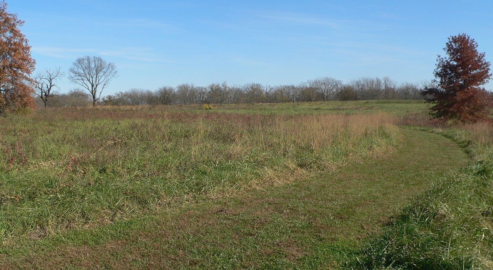
From 1700 to 1775 a large Osage town stood on this hilltop near the Osage River valley, about 200 lodges and 2,000 to 3,000 people. Excavation showed the lodges were rectangular. Women raised and processed the crops and turned game and hides into food, clothing and tools; men hunted and traded furs with Europeans for guns and goods. Under the name Brown Osage Village Site it was made a National Historic Landmark in 1964.
After the United States took the Louisiana Purchase in 1804, treaties pressed the Osage off this land. In the Treaty of Fort Clark of 1808 they made a major cession in present Missouri, in 1825 they gave up their remaining lands in western Missouri and Arkansas, and they were moved first to a reservation in what is now southeastern Kansas. Today a 0.8-mile interpretive loop helps visitors picture the town. This is a village site: keep to the trail and leave every stone and fragment where it lies.
Visitor Info
On the Map
A story featuring this place
Go deeper into the history and character of this stop
Nearby
The closest stops worth working into your route
Historical markers nearby
Roadside plaques and monuments within a short detour