Home / Texas / The Guadalupe & Davis Mountains / Guadalupe Mountains National Park
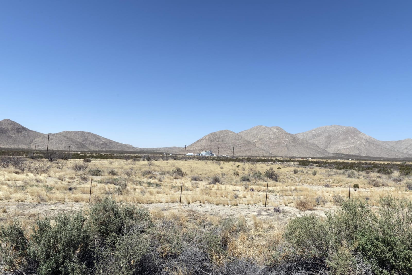
Grassland and desert scrub stretching toward a range of rounded mountains in the Guadalupe Mountains National Park area.Carol M. Highsmith / public domain via the Library of Congress
🌲Natural

Guadalupe Mountains National Park

Part ofThe Guadalupe & Davis Mountains

The four highest peaks in Texas, Guadalupe Peak at 8,751 feet among them, on a ranch that oilmen and ranchers sold or gave to make a park in 1972.

⏱
Duration
A full day, or two with the peak hike.
🎟
Admission
$10 per person; check the park site for current fees.
📅
Best Season
Year round. Spring brings high winds; fall brings color in the canyons; summer is hot below the peaks.

The Story

The Guadalupe Mountains rise out of the desert on the New Mexico line, and the park holds the four highest peaks in Texas. The tallest, Guadalupe Peak, stands 8,751 feet above sea level. A maintained trail climbs about 3,000 feet from Pine Springs to the summit, the park's most popular day hike, and a stainless steel pyramid on top was set there by American Airlines in 1958 to mark the centennial of the Butterfield Overland Mail, which passed south of the mountain. The summit runs about ten degrees cooler and much windier than the trailhead.

For centuries the range was Mescalero Apache country, and the Apache held it as one of their last strongholds after the army pushed them off the plains below. In December 1869 a cavalry troop under Lt. Howard Cushing attacked a Mescalero camp in the mountains. Ranchers followed. Most of the park was the Guadalupe Mountain Ranch, where J. C. Hunter raised Angora goats and in 1928 brought in elk from South Dakota to replace the native elk hunted out by the 1880s. His son sold the ranch to the government. President Johnson signed the act creating the park in 1966, and it was established in 1972.

The Pine Springs Visitor Center, on US-62/180, is the place to start. There is no gas for 35 miles in either direction and no lodging or restaurant in the park, so fill up in Van Horn, 60 miles south, or Whites City, New Mexico. The park keeps Mountain Time.

Visitor Info

⏱
Time Needed
A full day, or two with the peak hike.
🎟
Admission
$10 per person; check the park site for current fees.
📅
Best Season
Year round. Spring brings high winds; fall brings color in the canyons; summer is hot below the peaks.
🛣️
Highway
US-62/180

On the Map

Nearby

The closest stops worth working into your route

historical0.3 mi away
The Pinery Butterfield Station
The stone ruins of the highest station on the Butterfield Overland Mail, used for eleven months from 1858 until the line moved south to the forts in 1859.
historical1.5 mi away
Frijole Ranch
An old ranch house at a desert spring below the Guadalupe escarpment, home to the Smith family's orchard and now the park's history museum.
natural7.1 mi away
McKittrick Canyon
A spring-fed canyon of maples and oaks inside the Guadalupes, with the stone cabin an oil geologist built in 1931-32 and gave, with his land, toward the park.
geological29 mi away
Carlsbad Caverns National Park
The way into the cave has changed four times: a guano miner's bucket, a wooden staircase, a 750-foot elevator, and now a timed ticket and a switchback trail down the natural entrance.
natural50 mi away
Living Desert Zoo and Gardens State Park
A zoo and garden of the Chihuahuan Desert on the Ocotillo Hills above Carlsbad, whose animals are injured or orphaned wildlife that cannot go back to the wild.
architectural59 mi away
Hudspeth County Courthouse
The only courthouse in Texas built entirely of adobe, in the Sierra Blanca railroad town where Southern Pacific and Texas and Pacific crews met in 1881.

Historical markers nearby

Roadside plaques and monuments within a short detour

Marker0.3 mi away
Ruins of "The Pinery" or "Pine Spring" Stage Stand
Pine Springs
Marker3.1 mi away
Guadalupe Peak
Pine Springs
Marker25 mi away
Guadalupe Mountains
Whites City, New Mexico
Marker28 mi away
Carlsbad Caverns National Park
Whites City, New Mexico