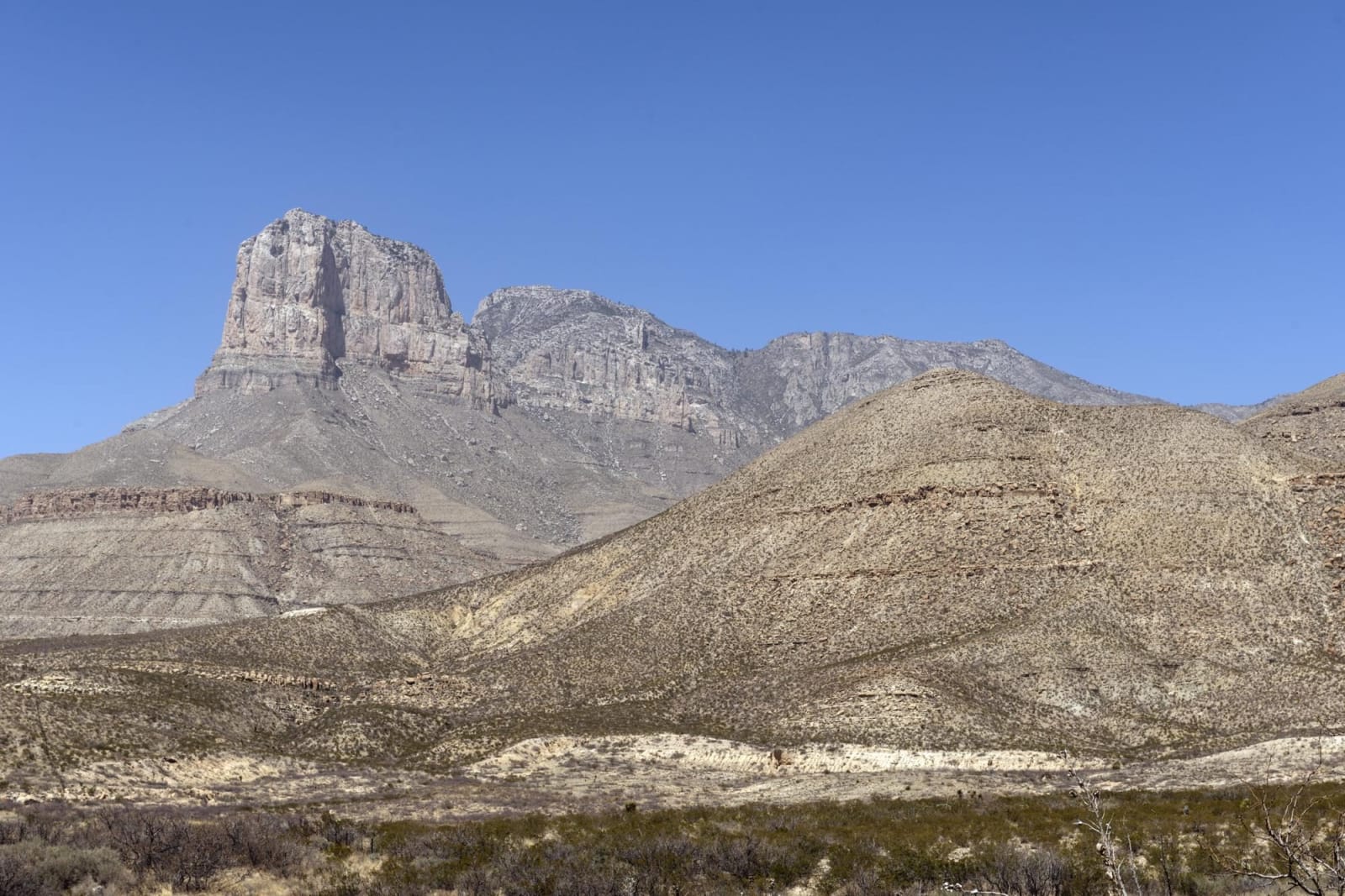
The Guadalupe & Davis Mountains
Guadalupe Peak and McKittrick Canyon, the Pinery stage station, Fort Davis, the Indian Lodge, McDonald Observatory, the Scenic Loop and the springs at Balmorhea.
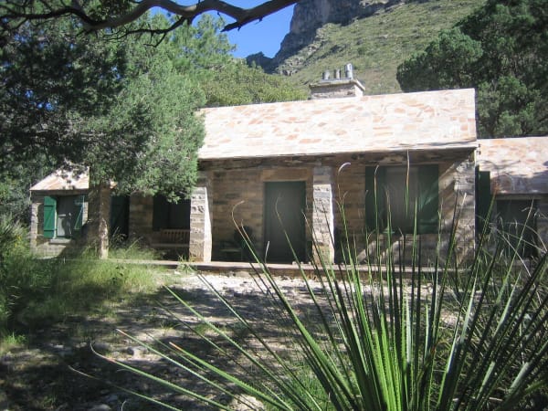
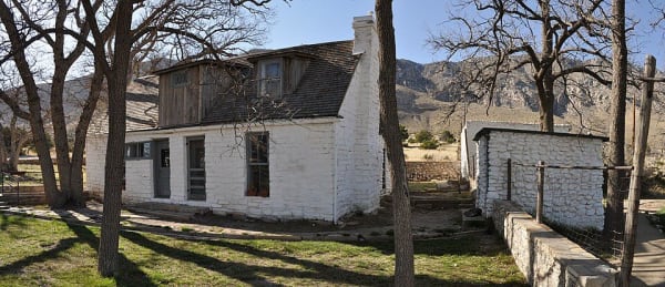
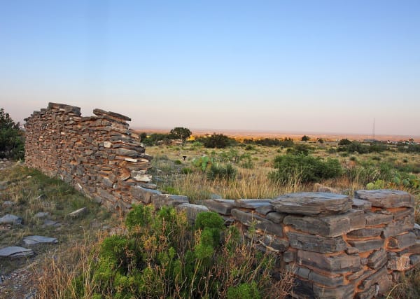
Two mountain ranges rise out of the Chihuahuan Desert here. In the north, on the New Mexico line, the Guadalupe Mountains end in the cliff of El Capitan, and behind it Guadalupe Peak, at 8,751 feet, is the highest point in the state. This was Mescalero Apache country. Guadalupe Mountains National Park keeps the ruins of the Pinery, a Butterfield stage station of 1858, the Frijole Ranch house at a desert spring, and McKittrick Canyon, where bigtooth maples turn red in the fall. Van Horn is the nearest town.
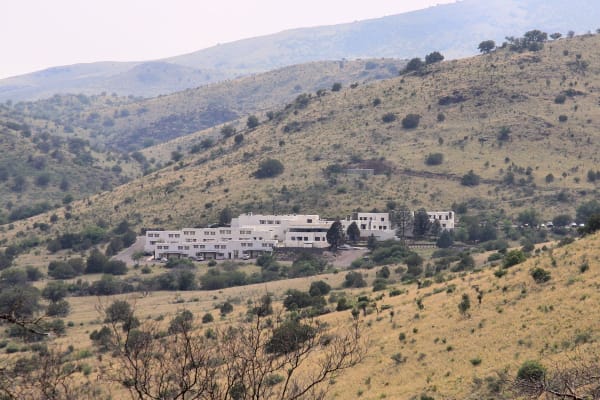
To the south, the Davis Mountains are greener and higher than the plain around them. Fort Davis was built in 1854 to guard the San Antonio-El Paso road, and after the Civil War Black regiments of infantry and cavalry served there. Fort Davis National Historic Site is among the best-kept frontier posts in the Southwest. Beside it, Davis Mountains State Park has the adobe Indian Lodge the Civilian Conservation Corps built in 1933. The Scenic Loop climbs past the University of Texas McDonald Observatory on Mount Locke, where star parties are held under some of the darkest skies in the country.
North of the mountains, Balmorhea State Park holds San Solomon Springs in a pool the CCC built, home to two rare desert fishes. Pecos, on the river, claims the first rodeo, held in 1883.
What to See in The Guadalupe & Davis Mountains
10 places across the region, grouped by what they are.
Natural Areas
Hikes & Trails
Historic Sites

Architecture

Attractions

The Guadalupe & Davis Mountains rewards the unhurried. Pick a base, fan out, and let the country between the headline stops surprise you.
← Explore more of Open Road Guide