Home / California / Gold Country & the Northern Passes / Donner Memorial State Park
Donner Memorial State ParkJerrye and Roy Klotz / CC BY-SA 3.0 via Wikimedia Commons
🏛️Historical

Donner Memorial State Park

Part ofGold Country & the Northern Passes

Where the Donner Party spent the winter of 1846, marked by cabin stone and a monument built to a remembered snow depth.

Duration
Two hours for the museum, monument, and cabin sites.
🎟
Admission
Day-use fee per vehicle; visitor center admission included.
📅
Best Season
Year-round; the lake in summer, snowshoe programs in winter.
💡
Fun Fact
The monument pedestal was built twenty-two feet high to match the believed snow depth of that winter, though later research suggests the real depth was closer to ten or fourteen feet.

The Story

The Pioneer Monument stands on the site of one of the cabins. Its pedestal is twenty-two feet high, built to match what people then believed the snow depth had been in the winter of 1846 and 1847; modern research puts it closer to ten or fourteen feet, which is a useful reminder that monuments record what a generation believed as much as what happened.

What happened was bad enough. A wagon party bound for California took an unproven shortcut, lost weeks in the Wasatch and the salt desert, and reached this lake in late October to find the pass already closed. They built cabins here and at Alder Creek, ate the oxen, then the hides, then the dogs. Relief parties came over the summit in February and after. Accounts differ on the arithmetic, but of roughly eighty-seven people caught by the snow, fewer than half walked out, and some of the living had eaten the dead.

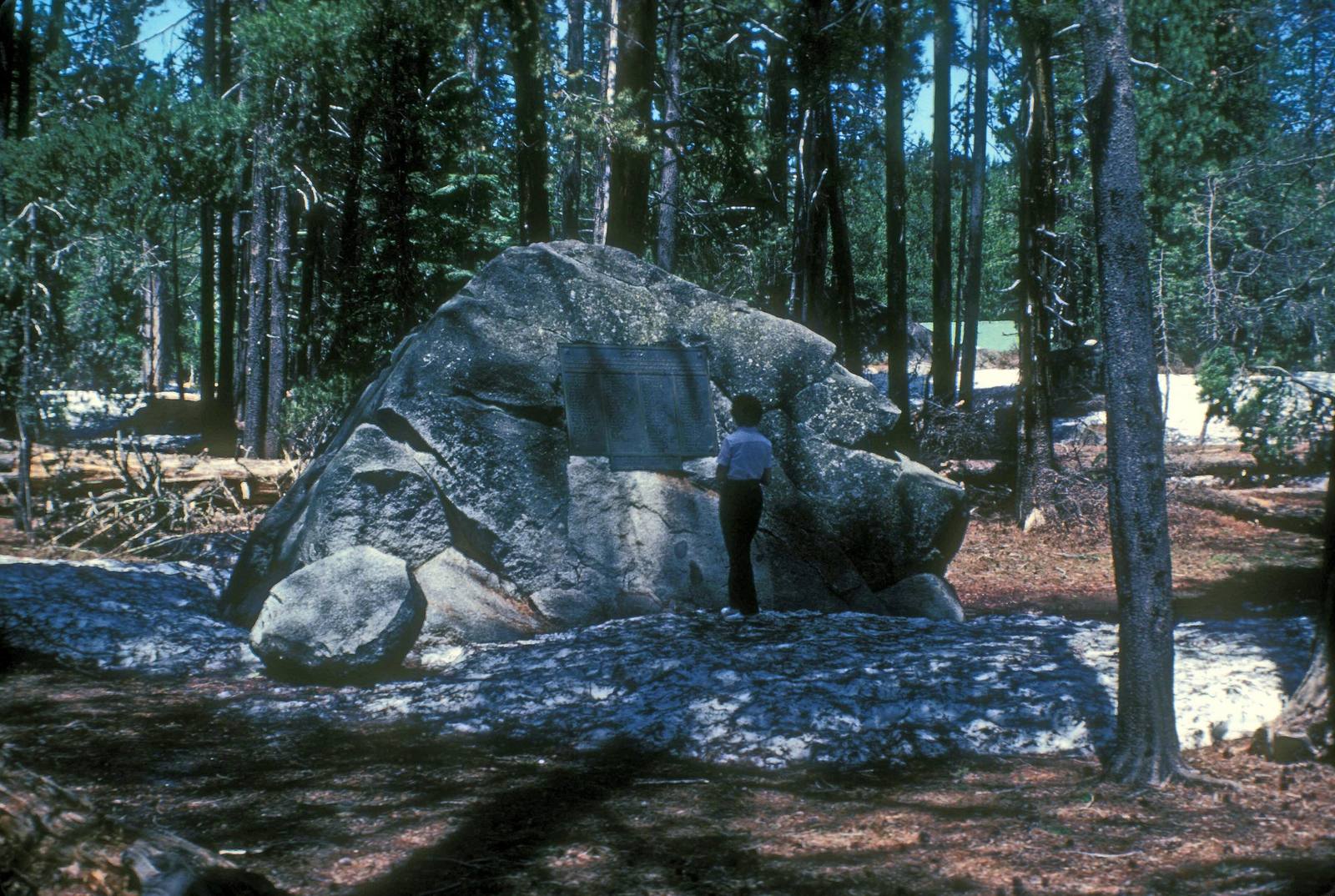
The park sits on the east end of Donner Lake with three miles of shoreline, campgrounds, and a good visitor center that gives the Wašišiw and the Chinese railroad crews their share of the story rather than leaving the emigrants alone in it. A boulder near the museum was the north wall of the Murphy cabin. The Summit tunnels are ten miles west and uphill.

Visitor Info

Time Needed
Two hours for the museum, monument, and cabin sites.
🎟
Admission
Day-use fee per vehicle; visitor center admission included.
📅
Best Season
Year-round; the lake in summer, snowshoe programs in winter.
🛣️
Highway
I-80 / Donner Pass Road

On the Map

Nearby

The closest stops worth working into your route

historical2.4 mi away
Donner Summit Tunnels
Granite bored by hand at fourteen inches a day, by Chinese crews the country spent a century forgetting.
natural20 mi away
Sand Harbor
The crown of Lake Tahoe's Nevada shore—car-sized granite boulders standing in water so clear the boats above them seem to float on air, on a beach the Washoe kept for thousands of summers
natural22 mi away
The Flume Trail & Marlette Lake
The other thing the Comstock took off Lake Tahoe—not its trees but its water, hauled over a mountain range through the highest-pressure pipeline on earth, on a flume grade that is now one of the country's great mountain-bike rides
natural24 mi away
Glenbrook & Spooner Summit
Lake Tahoe's east shore, where the basin was logged nearly clean to timber the Comstock—the forest that paid for the silver, and the century it has spent growing back
cultural25 mi away
Cave Rock / De'ek Wadapush
One of the most sacred places of the Wašiw—the Standing Gray Rock, a worn volcano the highway was blasted through and climbers bolted for sport, now closed and quiet again after the Washoe's long fight to protect it
natural26 mi away
Emerald Bay State Park
A glacial fjord on Tahoe's west shore with the lake's only island and a Scandinavian house at the water.

Historical markers nearby

Roadside plaques and monuments within a short detour

Marker20 mi away
The Great Incline of the Sierra Nevada
Nevada
Marker20 mi away
Sand Harbor
Nevada
Marker21 mi away
Mount Rose Weather Observatory
Nevada
Marker22 mi away
Verdi
Nevada
Marker22 mi away
The Great Train Robbery
Nevada
Marker23 mi away
Galena Creek Fish Hatchery
Nevada