Home / New Mexico / The Santa Fe Trail & the Northeast / Fort Union National Monument
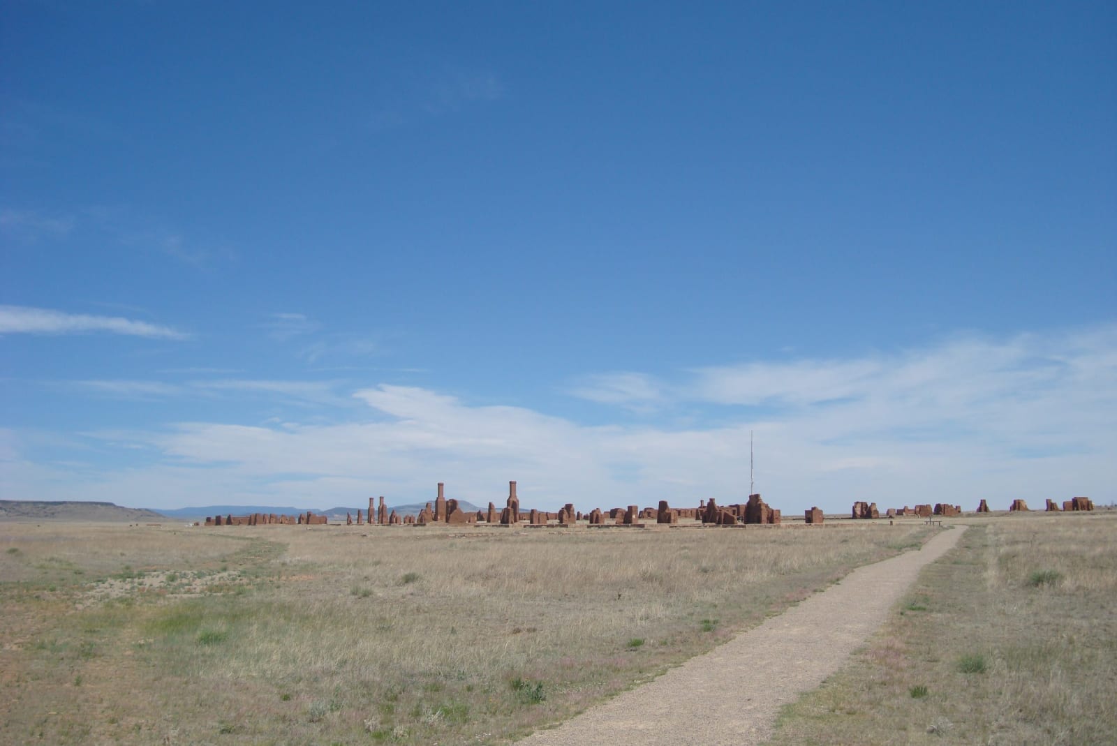
A path across open grassland toward the low adobe ruins of Fort Union under a wide skyEric T Gunther / CC BY 3.0 via Wikimedia Commons
🏛️Historical

Fort Union National Monument

Part ofThe Santa Fe Trail & the Northeast
On this driveThe Santa Fe Trail: Raton to Santa Fe

Three forts in one prairie valley where the two branches of the Santa Fe Trail met: a log post, a star-shaped earthwork, and an adobe supply town that fed the army's wars.

Pioneer History
⏱
Duration
One to two hours.
📅
Best Season
Spring through fall; the valley is windy.

The Story

Fort Union lies in a wide grassy valley north of Las Vegas, near where the Mountain and Cimarron branches of the Santa Fe Trail came together, and the ruts of both can still be traced across the prairie by the visitor center. In 1851 Lieutenant Colonel Edwin Sumner moved the army's department headquarters and supply depot out of Santa Fe, which he called that sink of vice and extravagance, and set them down here.

Three forts stood in the valley. The first, of logs, went up that summer. In 1861, with a Confederate army moving up the Rio Grande, the garrison threw up a star-shaped earthwork with ditches, parapets and bombproofs; its outline still shows in the grass. The third, begun in 1863 and finished in 1869, was almost a town in itself, adobe buildings in the Territorial style: officers' row, barracks, a hospital, a prison, and the depot's warehouses and Mechanics Corral, from which food, clothing, arms and tools went out to posts across the Southwest.

Those supplies served wars. Fort Union's soldiers and stores took part in Kit Carson's campaigns against the Mescalero Apache in 1862 and 1863, the Diné in 1863 and 1864, and the Kiowa and Comanche in 1864 and 1865, and the first two ended with their people marched to Bosque Redondo.

The railroad reached the valley in 1879 and the wagon freighting faded. The army left in 1891, the buildings were stripped of their roofs and timber, and the adobe has been weathering since, stabilized to slow it. A self-guided trail leads through the ruins of the second and third forts. The national monument was created in 1954 on land from the ranch that still surrounds it.

Visitor Info

⏱
Time Needed
One to two hours.
📅
Best Season
Spring through fall; the valley is windy.
🛣️
Highway
I-25

On the Map

Nearby

The closest stops worth working into your route

architectural23 mi away
Montezuma Castle
The railroad's turreted resort at the Las Vegas hot springs, burned twice in its first years, empty for most of a century, and now home to an international school.
historical42 mi away
St. James Hotel
Henri Lambert's 1872 inn and saloon on the Santa Fe Trail at Cimarron, a stage for the Colfax County War, where the old saloon ceiling still shows 22 bullet holes.
historical45 mi away
Pecos National Historical Park
The red walls of a 1717 mission church inside the foundations of a far larger one, beside the kiva Pecos people dug in front of the old church during the revolt of 1680.
architectural46 mi away
San Francisco de Asís Church, Ranchos de Taos
The adobe church at Ranchos de Taos that artists always paint from behind, kept standing by the mud its parish spreads over it every June.
cultural47 mi away
Taos Pueblo
Two terraced adobe houses facing each other across Red Willow Creek, lived in for something like a thousand years, with no electricity or running water inside the old walls.
cultural52 mi away
El Santuario de Chimayó
A small adobe shrine on the High Road to Taos, built around 1816 over earth that pilgrims still carry away in hope of healing.