Home / Oklahoma / Route 66 West & the Washita / Black Kettle National Grassland
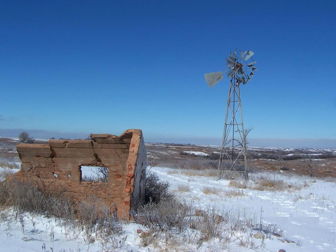
A windmill beside the crumbling adobe walls of an old homestead on snowy grassland in the Black Kettle National Grassland.U.S. Forest Service / public domain via Wikimedia Commons
🌲Natural

Black Kettle National Grassland

Part ofRoute 66 West & the Washita

About a hundred federal tracts of sand hills, red shale and mixed-grass prairie around Cheyenne, land that went from reservation to wheat to Dust Bowl ruin and back to grass.

⏱
Duration
Half a day, or overnight at a lake campground.
🎟
Admission
No entry fee. Fees are posted at the recreation sites.
📅
Best Season
Spring and fall. Recreation sites open year round. District office Monday to Friday 8 a.m. to 4:30 p.m.

The Story

The grassland takes its name from the Southern Cheyenne leader Black Kettle, killed when Custer's Seventh Cavalry attacked his camp on the Washita in November 1868. The country around it became part of the Cheyenne and Arapaho Reservation and was opened to white settlement in 1892. Farmers grew good crops until the 1930s, when drought, wind and poor conservation stripped the topsoil in one of the regions hardest hit by the Dust Bowl, and many left.

Between 1937 and 1942, with the approval of Congress, the federal government bought up the failed farms. From 1938 the Soil Conservation Service replanted them with big bluestem, Indiangrass, side oats grama and buffalo grass, and quail, deer, turkey and doves came back. The Forest Service took over in 1953, and in June 1960 the land was designated a national grassland. In 1996 Representative Frank Lucas suggested selling it to pay for a memorial at the Washita, which set off a heated debate. The land stayed federal.

Of its 31,300 acres, 30,724 lie in Roger Mills County, in about a hundred tracts among private ranches, managed by the Cibola National Forest. Ranchers graze about 2,000 cattle a year on a rest-rotation system, oil and gas are produced, and grazing and mineral fees go back to the counties in place of taxes. Skipout Lake and Spring Creek Lake have campgrounds open year round. The Black Kettle Interpretive Trail starts at the district office, which shares a building with the Washita Battlefield visitor center on Highway 47A.

Visitor Info

⏱
Time Needed
Half a day, or overnight at a lake campground.
🎟
Admission
No entry fee. Fees are posted at the recreation sites.
📅
Best Season
Spring and fall. Recreation sites open year round. District office Monday to Friday 8 a.m. to 4:30 p.m.
🛣️
Highway
OK-47A

On the Map

Nearby

The closest stops worth working into your route

historical11 mi away
Washita Battlefield National Historic Site
The bend of the Washita where the 7th Cavalry attacked Black Kettle's Cheyenne village at dawn on November 27, 1868, kept by the Park Service with a trail to the village site.
recreational24 mi away
Lake Marvin
A small 1930s conservation lake on Boggy Creek east of Canadian, named for the Panhandle congressman whose name is on the 1937 law that turned the plains' ruined farms back to grass.
architectural28 mi away
Beckham County Courthouse
Sayre's domed 1911 courthouse, built to impress people stepping off the train and filmed by John Ford for The Grapes of Wrath once Route 66 came through the square.
historical30 mi away
Elk City Museum Complex
Elk City's museums on old 66: the National Route 66 and Transportation Museum's drive through all eight states, a pioneer Old Town, a farm and ranch hall and a blacksmith shop.
natural30 mi away
Gene Howe Wildlife Management Area
Five thousand acres of sand sage and cottonwood bottomland along the Canadian River east of Canadian, bought by the state in 1950 for wildlife research and open to walkers with a permit.
historical32 mi away
Old Mobeetie Jail Museum
The 1886 stone jail of the Panhandle's first county seat, the buffalo hunters' Hidetown on Sweetwater Creek that ran the courts for fifteen counties before losing its fort, railroad hopes and county seat.

Historical markers nearby

Roadside plaques and monuments within a short detour

Marker12 mi away
Battle of the Washita
Marker14 mi away
California Road
Marker17 mi away
Sandstone Creek Area
Marker22 mi away
Site of Lyman's Wagon Train Batttle
Texas
Marker22 mi away
Fletcher and Donley Stage Station
Texas
Marker24 mi away
Old Military Road
Texas