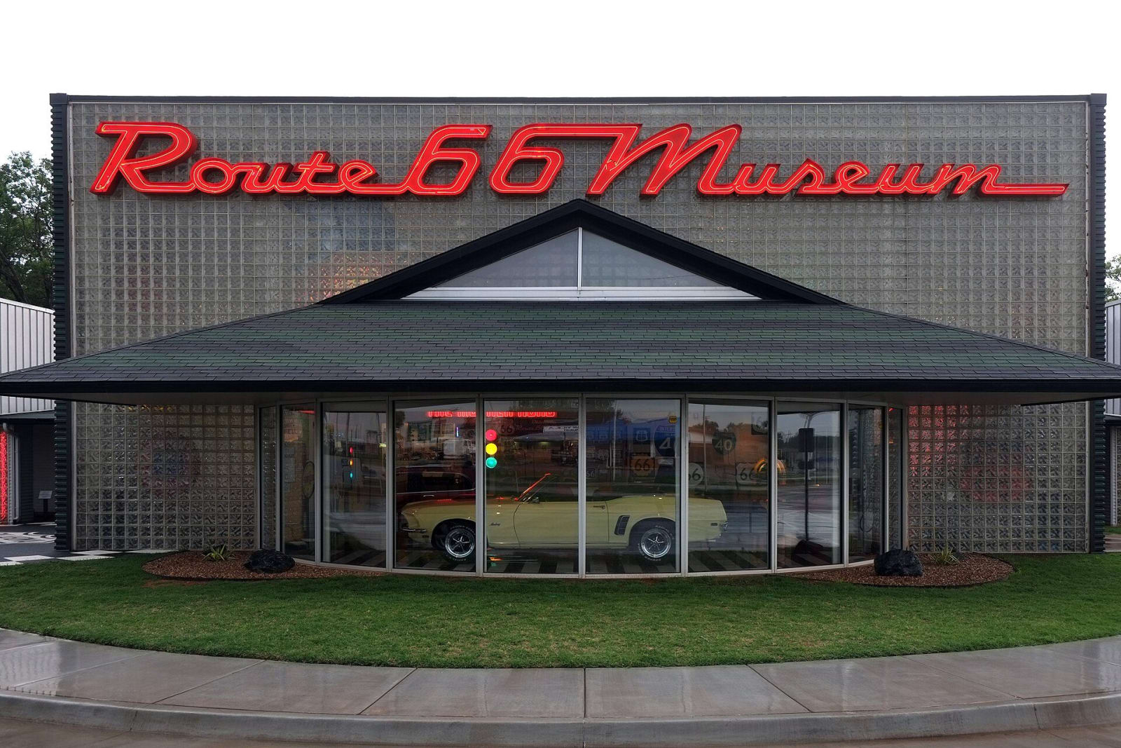
 Gorup de Besanez / CC BY-SA 4.0 via Wikimedia Commons
The Story
U.S. 66 was named in 1926 out of roads that already existed. In Oklahoma it zigzagged along section lines and railroad rights of way from Quapaw to Texola, and only a fraction of it was paved. In 1928 the Highway 66 Association staged a transcontinental foot race along it, and Andy Payne of Foyil, Oklahoma, won the Bunion Derby. In the Depression the road carried families west, the road of flight in John Steinbeck's phrase, and it also kept a living in many small gasoline stations, tourist courts and cafes that served them. New Deal money paved the rest, and in 1937 Oklahoma's stretch was paved end to end.
Each improvement straightened the road and left someone behind. A 1934 cutoff from El Reno to Hydro took the traffic away from Geary and Calumet and left Bridgeport nearly a ghost town within a few years. In the war, defense installations went up along the route, among them the Clinton Naval Air Station of 1942. Interstate 40 drew the traffic off, and the road lost its federal designation in 1985.
Clinton itself was laid out in 1903 on land that four Cheyenne allottees were given special permission by Congress to sell. The Historical Society's museum here walks through the road by decade: the dreams and labor that built it, the Dust Bowl migration, the trucks and returning soldiers of the Big Band years, and a 1950s diner with a counter and booths, with changing exhibits besides. It sits on old 66, Gary Boulevard, at I-40 exit 65.
Visitor Info
On the Map
Nearby
The closest stops worth working into your route
Historical markers nearby
Roadside plaques and monuments within a short detour