Home / Oklahoma / Route 66 West & the Washita / Washita Battlefield National Historic Site
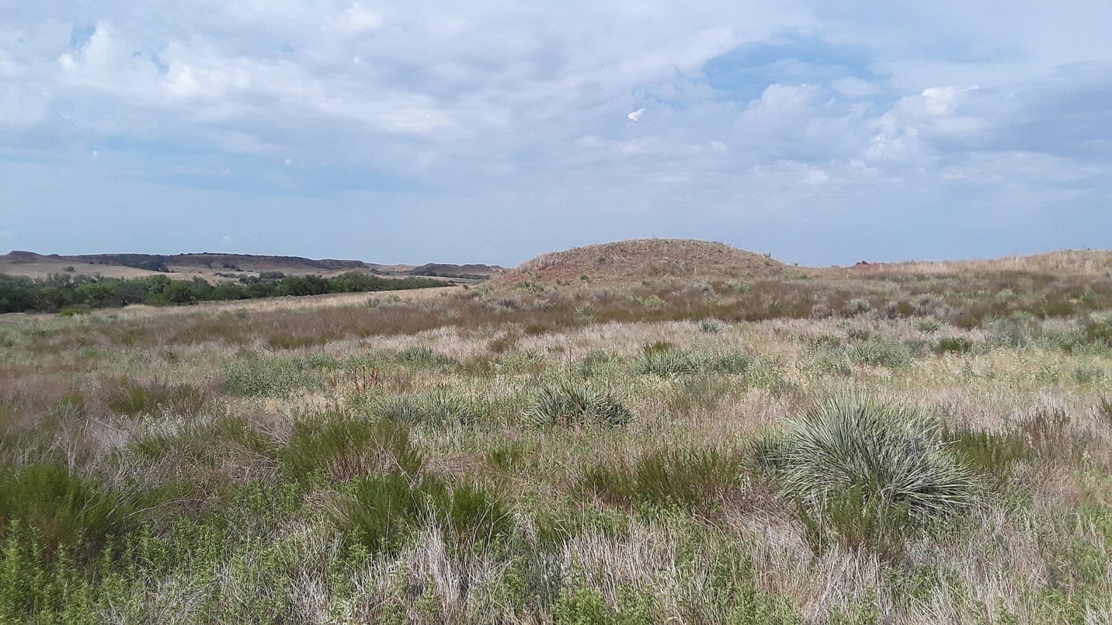
Grassland and low hills around the Washita battlefield in Roger Mills County.Ser Amantio di Nicolao / CC BY-SA 4.0 via Wikimedia Commons
🏛️Historical

Washita Battlefield National Historic Site

Part ofRoute 66 West & the Washita

The bend of the Washita where the 7th Cavalry attacked Black Kettle's Cheyenne village at dawn on November 27, 1868, kept by the Park Service with a trail to the village site.

⏱
Duration
One to two hours with the trail.
🎟
Admission
Free; no entrance pass required.
📅
Best Season
Year round. Visitor center 8 a.m. to 4:30 p.m. daily except Thanksgiving, December 25 and January 1; overlook and trail from 30 minutes before sunrise to 30 minutes after sunset.

The Story

Black Kettle had survived Sand Creek in 1864 and still sought peace. On November 20, 1868, at Fort Cobb, General William Hazen told him the army was hunting the Cheyenne and Arapaho and that he would have to make peace with its field commanders. He meant to move his camp of about 250 Tsistsistas, Cheyenne people, downriver to the larger winter camps. Before he could, Lieutenant Colonel George Armstrong Custer led the 7th Cavalry out of Camp Supply through a foot of snow, his scouts found the camp, and at dawn on November 27 four battalions charged across the river.

Black Kettle and his wife, Medicine Woman Later, were shot crossing the Washita. Custer reported 103 warriors killed. The Cheyenne said only about eleven of their men died and the rest of the dead were women and children, and the Park Service puts the Cheyenne dead at 30 to 60. Fifty-three women and children were taken captive. Arapaho, Kiowa and others riding up from the downstream camps killed Major Joel Elliott and his detachment. Custer burned the lodges and their winter stores, had most of the 875 captured ponies and mules killed, and withdrew. The Park Service calls the event an attack; it is also called the Washita Massacre.

Congress made the site part of the park system on November 12, 1996. The visitor center is on OK-47A, the Black Kettle Memorial Highway, and a 1.5-mile trail leads from the overlook to the village site.

Visitor Info

⏱
Time Needed
One to two hours with the trail.
🎟
Admission
Free; no entrance pass required.
📅
Best Season
Year round. Visitor center 8 a.m. to 4:30 p.m. daily except Thanksgiving, December 25 and January 1; overlook and trail from 30 minutes before sunrise to 30 minutes after sunset.
🛣️
Highway
OK-47A

On the Map

Nearby

The closest stops worth working into your route

historical20 mi away
Elk City Museum Complex
Elk City's museums on old 66: the National Route 66 and Transportation Museum's drive through all eight states, a pioneer Old Town, a farm and ranch hall and a blacksmith shop.
architectural23 mi away
Beckham County Courthouse
Sayre's domed 1911 courthouse, built to impress people stepping off the train and filmed by John Ford for The Grapes of Wrath once Route 66 came through the square.
historical40 mi away
Oklahoma Route 66 Museum
The Oklahoma Historical Society's museum of the road in Clinton, decade by decade from the 1926 designation through the Dust Bowl and the war to the 1950s diner.
natural55 mi away
Quartz Mountain State Park
The granite Quartz Mountains, the low western range of the Wichitas, rising from Lake Altus-Lugert, with a CCC-built park of 1937, a rebuilt lodge and the climbing rock of Baldy Point.
historical70 mi away
Museum of the Western Prairie
The Oklahoma Historical Society's museum in Altus, telling southwest Oklahoma from the granite uplift through the Western Trail, Texas's Greer County, dugouts, irrigation and the air base.
natural74 mi away
Roman Nose State Park
A canyon of gypsum cliffs and three springs north of Watonga, one of Oklahoma's first seven state parks, named for Henry Roman Nose, a Cheyenne chief who survived Fort Marion.

Historical markers nearby

Roadside plaques and monuments within a short detour

Marker0.9 mi away
Battle of the Washita
Marker10 mi away
Sandstone Creek Area
Marker13 mi away
California Road
Marker27 mi away
Canute