 Trek Texas / CC BY-SA 2.0 via Flickr
The Story
The Lost Pines are an island of forest. Some 75,000 acres of loblolly pine and hardwoods lie scattered across parts of five counties east of Austin, the westernmost stand of loblolly in the United States, separated from the main East Texas pine forest by about 100 miles of rolling post oak woodland. Pollen records show pines growing here for more than 18,000 years. As the climate dried, sandy, gravelly soils over a water-holding clay layer kept them alive, and the trees grew genetically distinct, adapted to about 30 percent less rain than loblollies farther east. The same moist sands are critical habitat for the endangered Houston toad.
The state assembled the park from land given by the city of Bastrop and bought from private owners between 1933 and 1935, and it opened in 1937. The Civilian Conservation Corps built its cabins and refectory of native stone and wood to the architect Arthur Fehr's designs, meant to look as if they grew from the ground, and in 1997 the park became a National Historic Landmark, one of seven CCC parks in the nation with that status. It now covers 6,600 acres. The old Camino Real crossed this country too, and pieces of it run through the park.
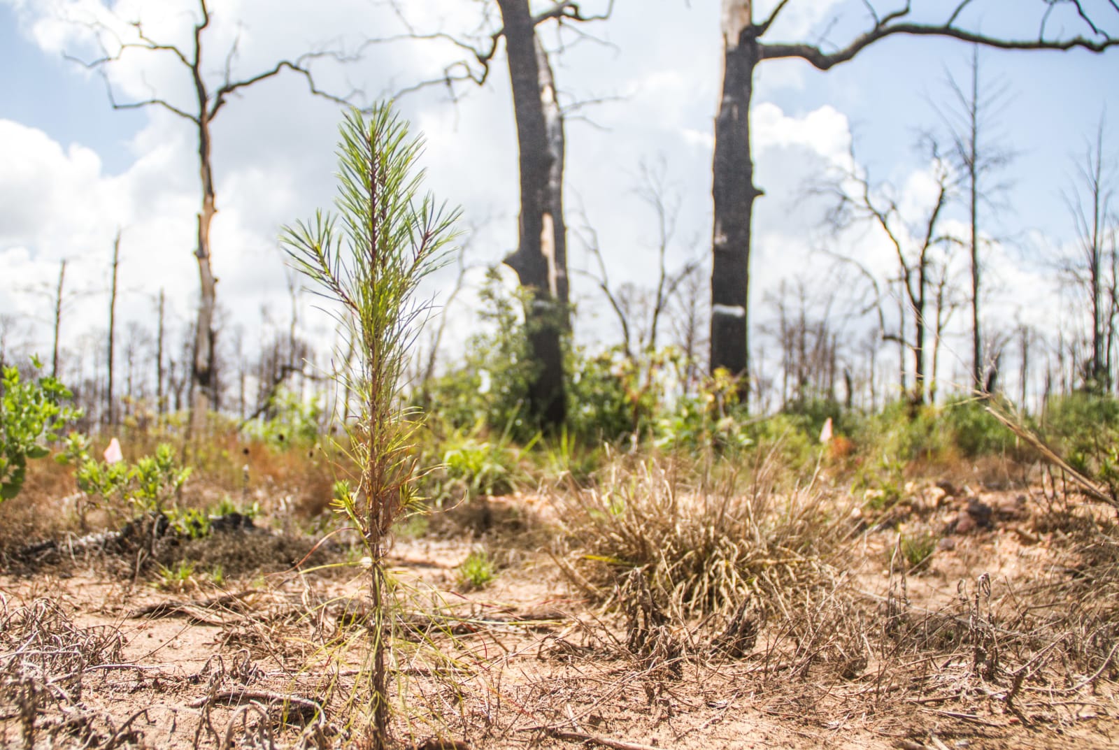
Wildfire damaged 96 percent of the park in 2011. The trails now pass through a forest in recovery, with new loblollies coming up among burned trunks and dewberries. Hike the seven miles of trail, or drive or bike the hilly 12 miles of Park Road 1C to Buescher State Park.
Visitor Info
On the Map
Nearby
The closest stops worth working into your route
Historical markers nearby
Roadside plaques and monuments within a short detour