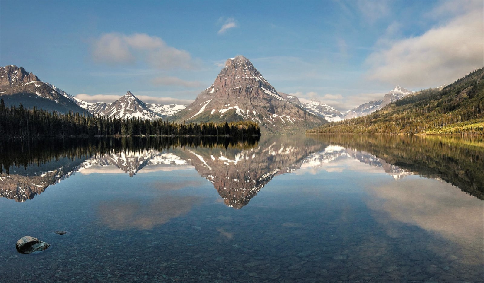
Tim Rains, National Park Service / public domain via Wikimedia Commons
A 4-Day Itinerary
Glacier and the Rocky Mountain Front in 4 Days
From Kalispell over Going-to-the-Sun Road and down the edge of the Rockies to Great Falls: a house a town turned down, a lodge that faces the water, the pass the road nearly missed, Blackfeet country, and the fork in the Missouri that stopped Lewis and Clark for ten days.
4 days · 454 miles · best in summer & fall
Kalispell, MT → Great Falls, MT
In northern Montana the Rocky Mountains do not fade into the plains; they stop. This trip starts in the Flathead Valley on the west side, crosses Glacier National Park on Going-to-the-Sun Road, the only road over the mountains in the park, and spends a night at Many Glacier. Then it turns south down the Rocky Mountain Front, the wall where the peaks meet the grass, through the Blackfeet Reservation and ranch country to Great Falls and the Missouri. Much of it is the story of the people whose country this was and is: the Salish and Kootenai on the west side, the Blackfeet on the east, who sold the mountains that became the park's eastern half in 1895 and kept the right to hunt and gather there. Along the way are a railroad's chalets, a cowboy artist's studio, a dog that met the trains for five and a half years, and the river that made the captains argue.
1
Day 1
Into the Flathead and Up the Lake
58 mi · about 1.6 hrs driving · overnight in Lake McDonald
Start in Kalispell at the Conrad Mansion, the 1895 house of the man who laid out the town, which its voters turned down as a gift in 1974 before it came to them anyway. Take US-2 east through Columbia Falls and turn off at Hungry Horse for the Hungry Horse Dam, named for two freight horses that nearly starved in the snow, where the reservoir pours into one of the tallest morning-glory spillways in the world. Then enter the park at West Glacier and follow Going-to-the-Sun Road along Lake McDonald to Lake McDonald Lodge, a 1914 hunting lodge whose front door faces the water because its first guests came by boat. Sleep at the lodge or back in West Glacier.
2
Day 2
Over the Divide
60 mi · about 2.1 hrs driving · overnight in Many Glacier
Start early. At Avalanche Creek walk the Trail of the Cedars, a level boardwalk loop through redcedar and hemlock about five hundred years old, the inland edge of a Pacific forest. Above it the road climbs the Garden Wall to Logan Pass on the Continental Divide, where the road was dedicated in 1933; the lot fills by mid-morning and parking is limited to three hours. Drop down the east side to Sun Point on St. Mary Lake, where the railroad's chalets stood until 1948, and walk to Baring Falls. Leave the park at St. Mary, drive north on US-89 to Babb, and take the road west into Many Glacier. Sleep at the Many Glacier Hotel, on the lake under the peaks.
3
Day 3
Down the Front
228 mi · about 5.3 hrs driving · overnight in Great Falls
A long day along the edge of the mountains. Take US-89 south and MT-49 to Two Medicine for Running Eagle Falls, a short walk to a double waterfall named for the Blackfeet woman who led war parties. Come out at East Glacier and take US-2 to Browning and the Museum of the Plains Indian, with Victor Pepion's 1941 murals. Then follow US-89 south along the Front through Dupuyer and Choteau, with the mountains to the west and the grass running east, and US-287 to Augusta. Cut east on MT-21 and MT-200 past the Fort Shaw Indian School, whose girls' basketball team beat all comers at the 1904 World's Fair, and on to Great Falls for the night.
4
Day 4
The Missouri
108 mi · about 2.2 hrs driving · overnight in Great Falls
Begin at the C.M. Russell Museum, the cowboy artist's house and log studio, and the story of Nancy Russell, who turned his paintings into a business. Then go down to Giant Springs on the Missouri, which William Clark called the largest fountain he ever saw. Take US-87 north to Fort Benton, the old head of steamboat navigation, where Shep stands in bronze on the levee and the Museum of the Northern Great Plains keeps the six bison William Hornaday collected for the Smithsonian in 1886. About ten miles on, near Loma, is Decision Point, the rise above the fork where Lewis and Clark spent ten days in 1805 deciding which river was the Missouri. Return to Great Falls.
The drives this trip follows
Each one is traced end to end on its own page, with every stop worth making along the way.