 Acroterion / CC BY-SA 4.0 via Wikimedia Commons
The Story
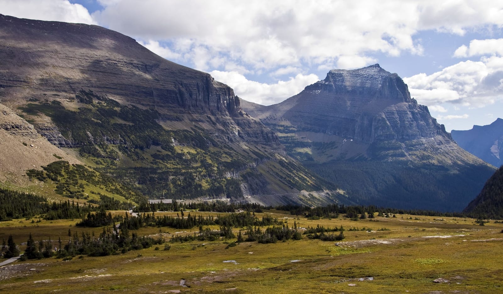
Logan Pass is named for William R. Logan, Glacier's first superintendent, who began planning a road across the park soon after it was created in 1910. In 1918 the Park Service's chief engineer, George Goodwin, laid out a line that would have climbed Logan Creek to this saddle by fifteen switchbacks. Tom Vint, a Park Service landscape architect, argued for one long traverse cut into the Garden Wall instead, and in the fall of 1924 the Bureau of Public Roads sent Frank Kittredge to survey it. His crew of thirty-two worked from two camps, often climbing three thousand feet in a morning to reach the line, until four feet of new snow fell on the east side of the pass in early November. Kittredge found Vint's route gentler, with wider curves and a 6 percent grade, and Stephen Mather chose it though it cost more.
The road was dedicated here on July 15, 1933, before a crowd of more than four thousand. The papers reported Two Guns White Calf of the Blackfeet welcoming the automobiles to a pass his people had once held against the Flathead, as they called the Salish, and the Kootenai, and the afternoon closed with a peace ceremony among the three nations. The road took its name that day from Going-to-the-Sun Mountain, east of the pass; until then it had been the Transmountain Highway.
In winter the pass lies under as much as eighty feet of snow, burying the visitor center to its roof, and the Big Drift just east of it can stand eighty feet over the roadbed. Plow crews start from both ends in April and meet at the drift, which has to be dug from the top down; meltwater hollows caverns under the snow big enough to swallow a bulldozer.
Visitor Info
On the Map
Nearby
The closest stops worth working into your route