Going-to-the-Sun Road: West Glacier to St. Mary
Fifty miles across Glacier National Park: Lake McDonald, the Loop, the Garden Wall and Logan Pass, then down past Jackson Glacier to St. Mary Lake and the Blackfeet Reservation.
The Route at a Glance
Going-to-the-Sun Road leaves West Glacier along Lake McDonald, the largest lake in the park, ten miles long and close to five hundred feet deep, its shallows paved with colored stones. Past Lake McDonald Lodge it follows McDonald Creek up a glacial valley to Avalanche Creek, where the Trail of the Cedars starts. From here to Rising Sun on the far side, no vehicle longer than 21 feet or wider than 8 feet may go, and anything over 10 feet tall can scrape the rock overhangs on the west side below Logan Pass.
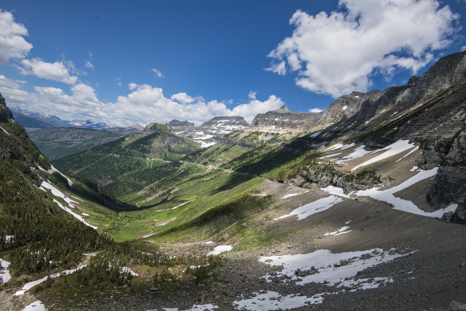
For all its climbing the road has a single switchback, the Loop. Above it the road is cut into the Garden Wall, the ridge of the Continental Divide, past the Weeping Wall, where snowmelt pours onto the pavement in early summer, and Triple Arches. Logan Pass fills by mid-morning in July and August; the boardwalk to the Hidden Lake overlook and the Highline Trail both start from its lot.
East of the pass the road drops past the Jackson Glacier overlook, one of the few places a glacier can be seen from a car, to St. Mary Lake and the little wooded Wild Goose Island, and leaves the park at St. Mary on the edge of the Blackfeet Reservation. The red open-top buses of the 1930s, rebuilt in 2001, still run the road; their drivers are called jammers, after the low gears they had to jam into on the grades. Sun Tours, run by members of the Blackfeet Nation, tells the same road from the people's side of the 1895 line. There is no fuel anywhere between the two ends.
The Drive, Stop by Stop
4 stops along the route, in driving order from West Glacier, Montana to St. Mary, Montana.
- 1
- 2
- 3
- 4
That's the drive. Take your time, pull over often, and let Going-to-the-Sun Road: West Glacier to St. Mary do what it does best.
← Explore more of Open Road Guide