Deadwood to Devils Tower and down the Belle Fourche
About 130 miles around the northern Black Hills: Deadwood to Devils Tower by I-90 and US-14, then down the Belle Fourche through Hulett and Aladdin to the town the river named and the Reclamation dam it fills.
The Route at a Glance
This is the northern edge of the Black Hills driven as a loop, out of Deadwood into Wyoming and back along the river that carved the tower out of the plain. It leaves Deadwood for Spearfish and runs west on I-90 and the old US-14 beside it, past the Vore Buffalo Jump near Beulah, to Sundance, then northwest on US-14 and north on WY-24 to Devils Tower. How the tower got its name, and why climbers keep off it in June, is told at Devils Tower & the Black Hills.
## Down the river
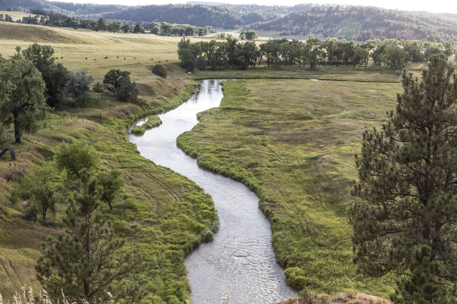
The Belle Fourche rises on the plains of northeastern Wyoming, runs past the foot of the tower and then turns southeast for South Dakota, wrapping around the north side of the Hills before it joins the Cheyenne. Below the monument WY-24 drops into its valley and follows it north to Hulett, crossing it twice in town, where WY-112 leaves for Alzada, Montana. From Hulett the highway runs east to Aladdin, where the old coal tipple stands below its mine, and crosses into South Dakota as SD-34 to meet the river again at Belle Fourche.
## The beautiful forks
Belle Fourche is French for beautiful forks, the meeting of the Redwater with the river. In the 1890s it was the railroad shipping town for ranches in three states, and on June 28, 1897, members of the gang the Sundance Kid rode with, by most accounts with him among them, robbed the Butte County Bank. One robber's horse bolted and left him to be arrested in town; the others were run down in Montana and broke out of the Deadwood jail before the year was out.
After the Reclamation Act of 1902, Butte County asked for its river, and the Belle Fourche Project became the second the new Reclamation Service took on. A diversion dam about a mile and a half from town turns the river into a canal six and a half miles long that fills a reservoir on Owl Creek, eight miles east along US-212, behind an earthen dam more than a mile long. Finished on June 30, 1911, it was the largest earthfill dam of its kind in the world. Building it was a fight. The gumbo clay stuck to the steam rollers, the first contractor went bankrupt in 1908 with its laborers gone to jobs offering an eight-hour day, and by 1921 some 4,000 irrigated acres were waterlogged. The Civilian Conservation Corps built the berm that steadied the dam's face in 1939, working from Camp Fruitdale below it, and from 1944 to 1946 the same camp held German prisoners of war who worked the farms. The project still waters about 57,000 acres, most of it hay and grain for cattle.
The Drive, Stop by Stop
4 stops along the route, in driving order from Deadwood, South Dakota to Belle Fourche, South Dakota.
- 1
- 2
- 3
- 4
That's the drive. Take your time, pull over often, and let Deadwood to Devils Tower and down the Belle Fourche do what it does best.
← Explore more of Open Road Guide