Home / Arkansas / Fort Smith & the Arkansas River Valley / Mount Nebo State Park
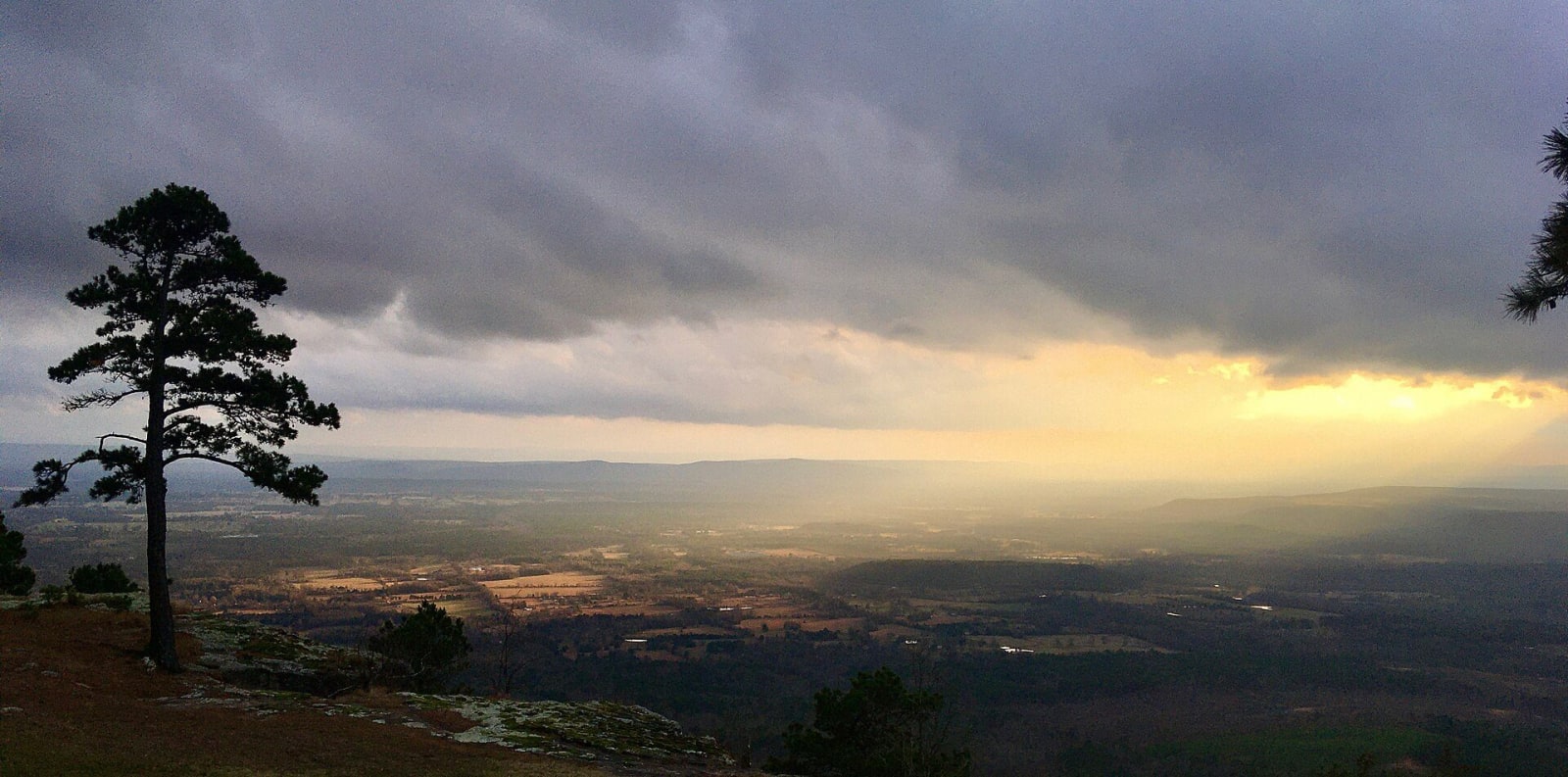
Winter sunset light over farmland and ridges seen from the south side of Mount Nebo, with a pine on the rimProfmarv, CC0, via Wikimedia Commons
🏕️Recreational

Mount Nebo State Park

Part ofFort Smith & the Arkansas River Valley

Arkansas's second state park, on a flat-topped mesa above Dardanelle: a Victorian summer town, a town run by women in 1924, CCC cabins and a Trail of Tears view.

⏱
Duration
Half a day.
🎟
Admission
No park entry fee is listed; the pool, cabins and campsites are charged.
📅
Best Season
Spring and fall; the visitor center is open daily 8 a.m. to 5 p.m. and closed New Year's Day, Thanksgiving, Christmas Eve and Christmas (state parks site, November 2026).

The Story

Mount Nebo is a flat-topped mesa above the Arkansas River Valley. The French called it Magazine, for its resemblance to a barn, and it became a landmark for river navigators. Local folklore says Louis C. White's wife renamed it Nebo after the biblical mountain from which Moses saw the Promised Land. The Summit Park Hotel opened on top in 1889, and many guests came by steamboat. At one point up to 5,000 people lived on the mountaintop as summer residents. The hotel burned in 1918, uninsured after a remodeling, and was never rebuilt.

The town carried on. In April 1924 its women ran for office, some against their husbands, brothers and fathers, and elected a female mayor and council, the first all-female town government on record in Arkansas. In 1926 the Dardanelle Chamber of Commerce proposed a state park, and in 1928 the state received 500 acres it held for delinquent taxes, which made Mount Nebo the second state park. The Civilian Conservation Corps built the trails, cabins, bridges and a large pavilion from mountain logs and stone until it left in 1935. Cabin 1 was the first cabin rental in the state park system. About fifty private homes remain on top, many owned by descendants of families from the late 1800s.

The park is a certified Trail of Tears National Historic Trail site. The state park service says the mountain overlooking the river witnessed the removal of all five nations sent west along the water route, and the Rim Trail looks out over that river.

Visitor Info

⏱
Time Needed
Half a day.
🎟
Admission
No park entry fee is listed; the pool, cabins and campsites are charged.
📅
Best Season
Spring and fall; the visitor center is open daily 8 a.m. to 5 p.m. and closed New Year's Day, Thanksgiving, Christmas Eve and Christmas (state parks site, November 2026).
🛣️
Highway
AR 155

On the Map

Nearby

The closest stops worth working into your route

recreational4.9 mi away
Lake Dardanelle State Park
A park on a 34,300-acre Arkansas River reservoir at Russellville, with aquarium exhibits and the story of the Norristown ferry crossing used in the removal of five nations.
natural10 mi away
Holla Bend National Wildlife Refuge
A 7,000-acre refuge on an island of former farmland made when the Corps cut off a bend of the Arkansas River in 1954, with winter ducks, geese and eagles and a 14-mile auto tour.
recreational20 mi away
Petit Jean State Park
Arkansas's first state park, founded in 1923, with a Civilian Conservation Corps lodge, Cedar Falls and a Trail of Tears overlook on a canyon-cut mountain.
natural21 mi away
Mount Magazine State Park
Arkansas's highest point at 2,753 feet: a sandstone-rimmed plateau above the river valley with a lodge, overlooks and hang-glider launches.
attraction22 mi away
Museum of Automobiles
Winthrop Rockefeller's 1964 museum on Petit Jean Mountain: a cable-roofed hall of antique cars, the only known Arkansas-built Climber, and vehicles once owned by Presidents and Elvis.
cultural22 mi away
Subiaco Abbey
A Benedictine monastery on a hilltop in Logan County, founded in 1878 for German-speaking Catholic settlers, with a 1959 abbey church and a boarding school for boys.