Hot Springs & the Ouachitas
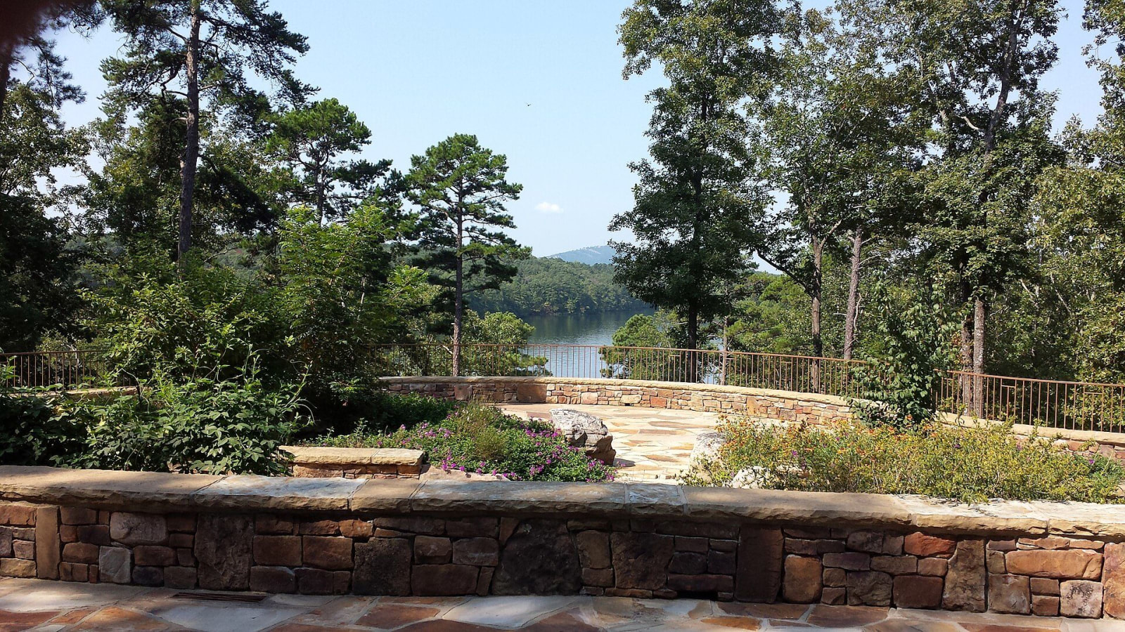
Hot Springs National Park and Bathhouse Row, Garvan Woodland Gardens, Lake Ouachita, Crater of Diamonds and the Talimena ridge road across the Ouachita Mountains.
Caddo confederations controlled this part of the Ouachita Mountains from about A.D. 800, and Quapaw and Choctaw people stayed in the country only for a time, until an 1818 treaty ended the Quapaw claim. Congress reserved the hot springs on April 20, 1832, and the reservation became Hot Springs National Park in 1921. Rain falls on the mountains, spends about 4,400 years underground and returns at 143 degrees along Bathhouse Row, where bathing was segregated until 1965.
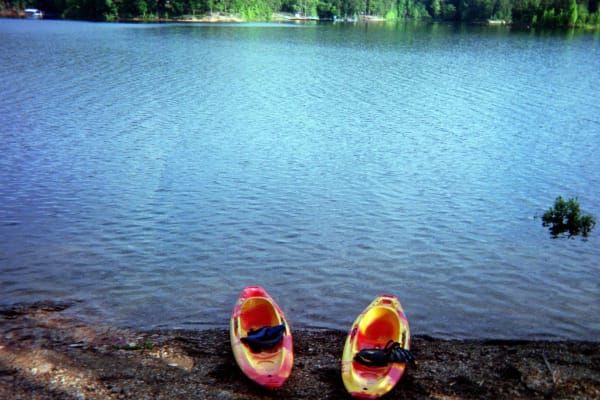
The Buckstaff Bathhouse has run since 1912, and the Gangster Museum tells how Mayor Leo McLaughlin's machine ran an open gambling town until Governor Rockefeller ended it in 1967. Garvan Woodland Gardens grew from Verna Garvan's thirty years of planting on a Lake Hamilton peninsula. The Corps of Engineers built the lakes: Lake Ouachita, finished in 1952, and DeGray Lake, dedicated in 1972, each with a state park.
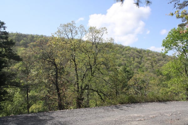
Theodore Roosevelt created the Arkansas National Forest in 1907, now the Ouachita National Forest. Its ridge road, the Talimena byway, climbs Rich Mountain at 2,681 feet, where Queen Wilhelmina State Park stands on the site of a railroad inn opened in 1898. Near Murfreesboro, Crater of Diamonds State Park lets visitors keep any diamond they find.
What to See in Hot Springs & the Ouachitas
10 places across the region, grouped by what they are.
Geology & Rock Formations
Natural Areas

Hikes & Trails
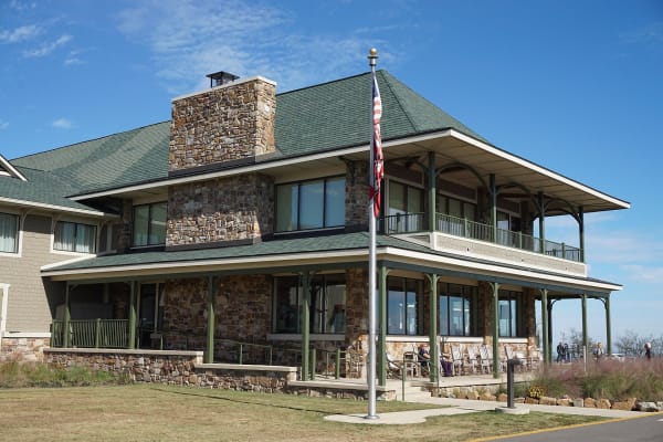
Historic Sites
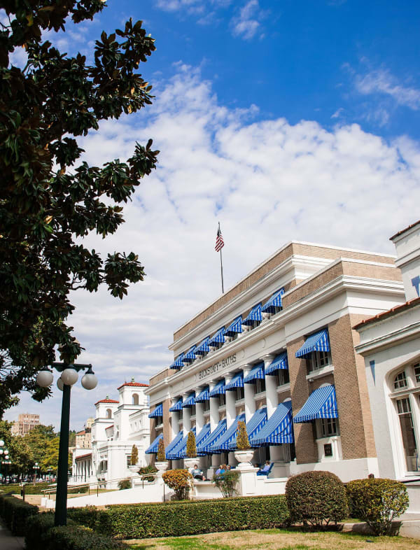
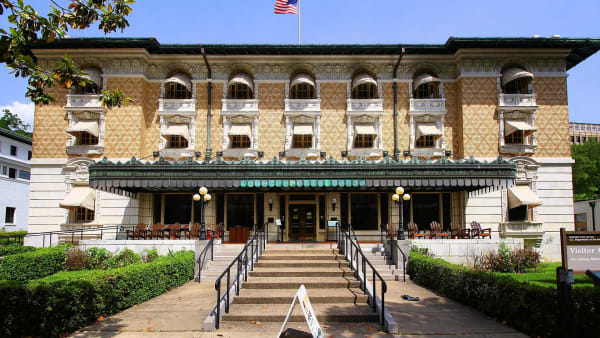
Towns & Gateways
Roadside Stops
Hot Springs & the Ouachitas rewards the unhurried. Pick a base, fan out, and let the country between the headline stops surprise you.
← Explore more of Open Road Guide