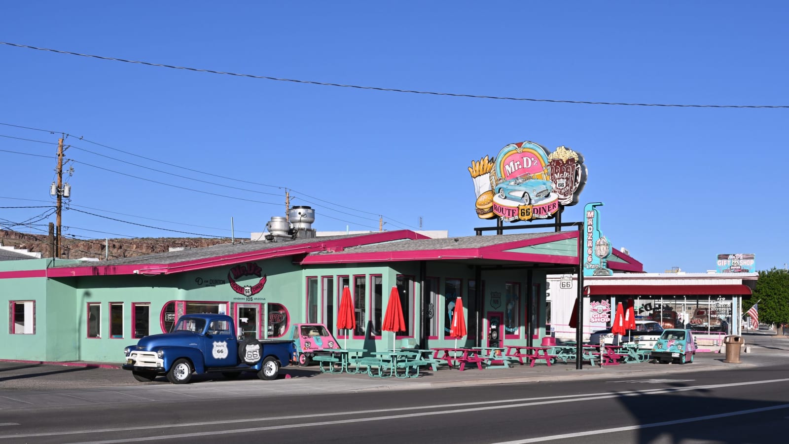
 G. Edward Johnson / CC BY 4.0 via Wikimedia Commons
The Story
Kingman is where the Mother Road stops being a curiosity and becomes a working town again. It sits at 3,300 feet in a gap between mountain ranges, a crossroads since long before the highway: the Atlantic & Pacific Railroad laid tracks through in the early 1880s and a station grew up around them, named for Lewis Kingman, the surveyor who ran the line. It has been the seat of Mohave County since 1887, a shipping point for the region's mines and ranches, and the hinge of northwestern Arizona ever since — the place where Route 66, the railroad, and the road to Las Vegas all cross.
Route 66 runs through the middle of town as Andy Devine Avenue, named for the actor born here in 1905 — the gravel-voiced comic sidekick of a hundred Westerns, whose father ran the Beale Hotel on this street. The heart of the historic district is the Powerhouse, a hulking concrete building put up between 1907 and 1917 to generate electricity for Kingman and the mines in the Black Mountains; it ran until Hoover Dam made it obsolete, sat empty for decades, and reopened in 1997 as the visitor center. Inside is the Arizona Route 66 Museum, which traces travel along the 35th parallel from wagon road to Mother Road, and which is being expanded for the road's 2026 centennial. Across the street, Locomotive Park keeps a 1928 steam engine; a block away the 1907 depot still stands.
What makes Kingman matter to a Route 66 driver, though, is geography. It is the western hub — the last real town before two very different endings. Northeast, the free-running old alignment threads back through Hackberry toward Seligman and the longest preserved stretch of the road. Southwest, the highway climbs into the Black Mountains toward Oatman on the wildest surviving segment of all. Kingman is also the jumping-off point for the Hualapai Mountains, for Grand Canyon West, and for the run north to the Colorado River. Most travelers treat it as a refuel and a bed. It rewards a night — a diner dinner on Andy Devine Avenue, a walk through the Powerhouse, and an early start on whichever direction the map points you next.
Visitor Info
On the Map
Stories featuring this place
Go deeper into the history and character of this stop
Nearby
The closest stops worth working into your route
Historical markers nearby
Roadside plaques and monuments within a short detour