Home / Oklahoma / The Kiamichi & Choctaw Country / Beavers Bend State Park
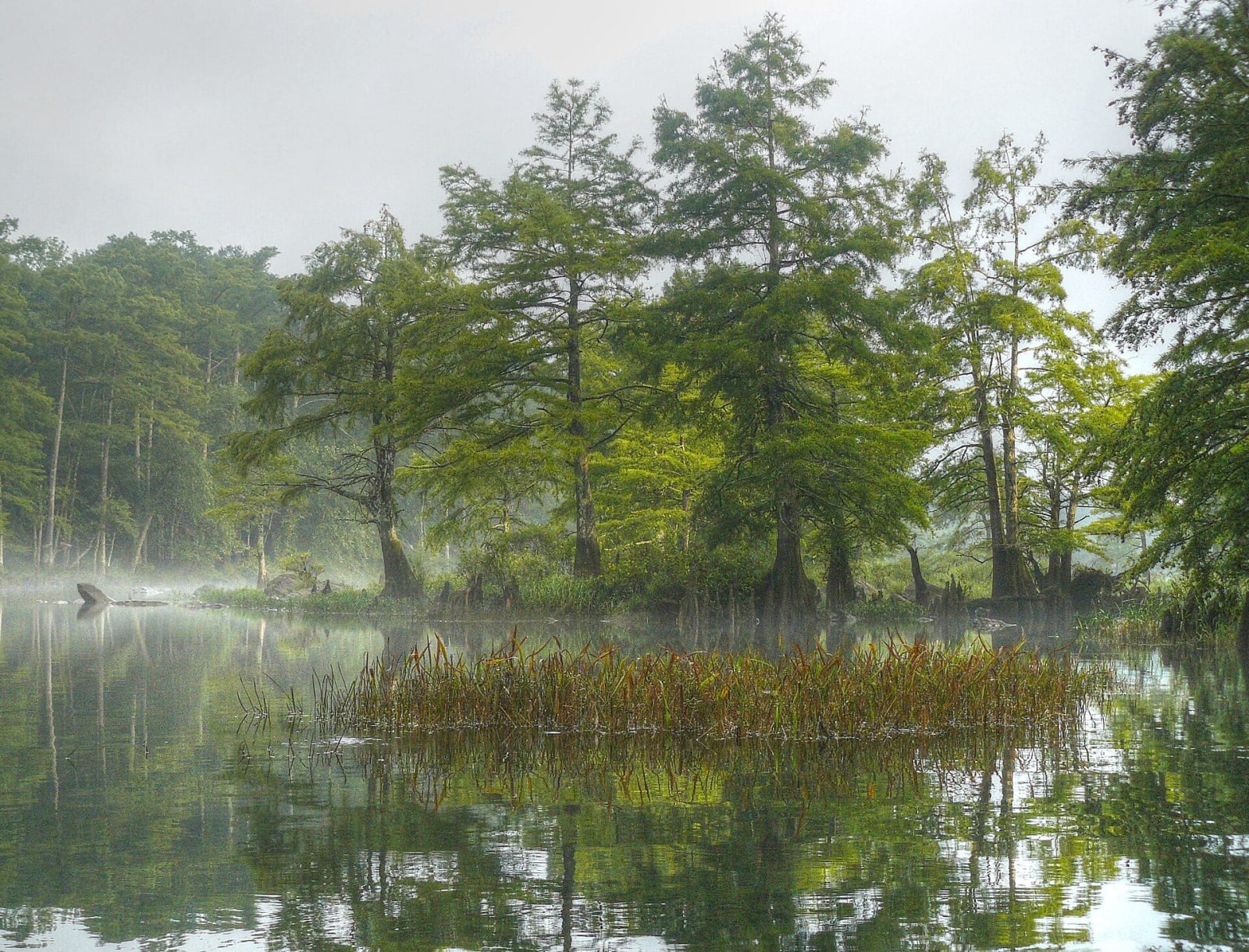
Bald cypress trees in morning mist on the Lower Mountain Fork River near Broken Bow.Thomas and Dianne Jones / CC BY 2.0 via Wikimedia Commons
🌲Natural

Beavers Bend State Park

Part ofThe Kiamichi & Choctaw Country

Pine and hardwood Ouachita hills where the Mountain Fork leaves Broken Bow Lake, a 1930s CCC park named for a Choctaw citizen, with trout water, a 26-mile ridge trail and the Forest Heritage Center.

⏱
Duration
A full day to a weekend.
🎟
Admission
Per-vehicle parking pass, bought online through the state parks reservation site linked from the park's page.
📅
Best Season
Spring and fall. Park office hours change by season.

The Story

The park takes its name from John T. Beavers, an intermarried Choctaw citizen who owned part of the land, and from the bend where the Mountain Fork River turns almost back on itself. Other parts were bought from the Choctaw Lumber Company, which Herman and Fred Dierks founded here from Broken Bow, Nebraska; the mill town they built took the name of home and was incorporated in 1911. Work on the park began in 1935, much of it by the Civilian Conservation Corps, and it was established in 1937.

The rock shows how the Ouachitas were made. They were thrust up when the North American and South American plates collided, and around the lake and river the beds stand tilted at about sixty degrees. In the 1960s the Army Corps of Engineers dammed the Mountain Fork to make Broken Bow Lake, 14,220 acres with 180 miles of shoreline in the pines. Below the dam the river is stocked with trout year-round, with two catch-and-release trophy areas.

Timber still runs McCurtain County, and the Forest Heritage Center in the park tells its story with forestry tools, wood art and fourteen dioramas painted by Harry Rossoll, the artist who created Smokey Bear, and a bronze honoring Jim Burnett, the first Oklahoma forest firefighter killed on duty, in Wyoming in 2000. The David Boren trail runs 26 miles over ridges and creek bottoms, and the park has 47 cabins, a lodge on the lake and eight camping areas.

Visitor Info

⏱
Time Needed
A full day to a weekend.
🎟
Admission
Per-vehicle parking pass, bought online through the state parks reservation site linked from the park's page.
📅
Best Season
Spring and fall. Park office hours change by season.
🛣️
Highway
US-259

On the Map

Nearby

The closest stops worth working into your route

historical34 mi away
Fort Towson Historic Site
The 1824 Red River post where arriving Choctaw and Chickasaw families were dispersed after removal, beside the site of Doaksville, the Choctaw capital where Stand Watie surrendered in 1865.
historical49 mi away
Tvshkahomma Capitol Museum
The Choctaw Nation's 1884 brick capitol in the Kiamichi valley, seat of its senate, house and supreme court until statehood, now the Nation's museum and the ground of its Labor Day Festival.
natural70 mi away
Robbers Cave State Park
A sandstone cave in the Sans Bois Mountains north of Wilburton, wrapped in outlaw stories, and the park that Boy Scouts, prison labor and the CCC built around it.
historical82 mi away
Spiro Mounds Archaeological Center
A Mississippian ceremonial center on the Arkansas River, about 850 to 1450, whose burial mound was mined in the 1930s, now run in consultation with the Caddo Nation and the Wichita and Affiliated Tribes.
historical95 mi away
Sequoyah's Cabin Museum
The log cabin near Akins where Sequoyah, who gave the Cherokee language its syllabary, settled in 1829, kept since 2016 by the Cherokee Nation inside a stone shelter of 1936.
cultural100 mi away
Choctaw Cultural Center
The Choctaw Nation's history told from the Chahta side at Calera, with galleries from Nanih Waiya to the Trail of Tears and the reservation today, a living village and daily stickball.

Historical markers nearby

Roadside plaques and monuments within a short detour

Marker8.1 mi away
Military Road
Marker19 mi away
Miller Courthouse
Marker19 mi away
Shawneetown
Marker21 mi away
Wheelock Mission
Marker23 mi away
Alikchi Court Ground
Marker27 mi away
Elliott Academy