Boone & the High Country
Cherokee peaks and rivers, Mount Mitchell and Grandfather, the Blue Ridge Parkway, Doc Watson's Boone and MerleFest, Mount Airy's Mayberry and the Penland craft school.
Long before the resort towns, these ridges were Cherokee country. The Cherokee called Grandfather Mountain Tanawha, a fabulous hawk or eagle, and knew the Linville River as the river of many cliffs, and in the New River valley Cherokee, Shawnee and Creek hunters shared a north-flowing river older than the mountains around it. Fort Defiance near Lenoir takes its name from a stockade used in the 1776 war against the Cherokee, and William Lenoir's plantation house there was worked by people he enslaved.
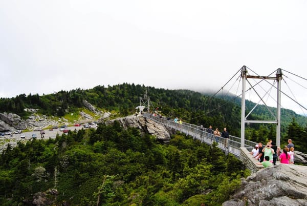
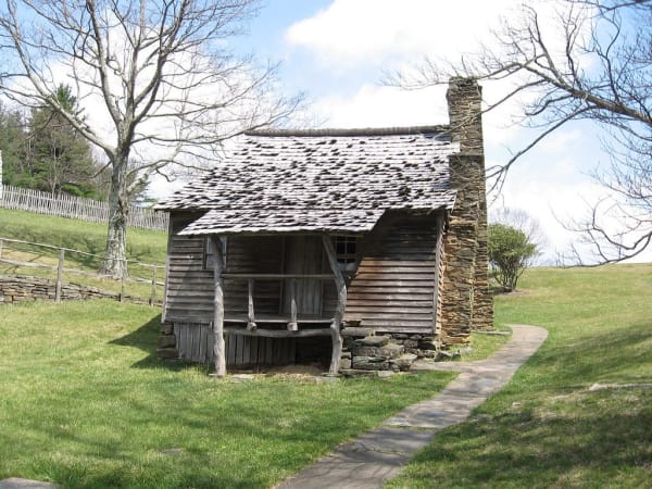
The high peaks came onto the maps later. Elisha Mitchell measured Mount Mitchell in 1835, died proving his claim in 1857 and lies on its summit, and in 1915 the mountain became North Carolina's first state park. The Blue Ridge Parkway, begun near Cumberland Knob in 1935, passes the Brinegar cabin at Doughton Park, the Cone family's Flat Top Manor and Linville Falls, and crosses the Linn Cove Viaduct on Grandfather, its last link.
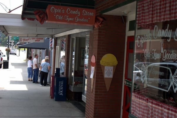
The music runs deep here. Doc Watson played for tips on Boone's sidewalks before the world heard him, and at Wilkesboro he founded MerleFest in memory of his son. Mount Airy, the model for Mayberry, still broadcasts the Merry-Go-Round live each Saturday, and at Penland, Lucy Morgan's weavers grew into a national school of craft.
What to See in Boone & the High Country
12 places across the region, grouped by what they are.
Natural Areas

Historic Sites

Towns & Gateways

Scenic Drives through Boone & the High Country
Boone & the High Country rewards the unhurried. Pick a base, fan out, and let the country between the headline stops surprise you.
← Explore more of Open Road Guide