 bobistraveling / CC BY 2.0 via Flickr
The Story
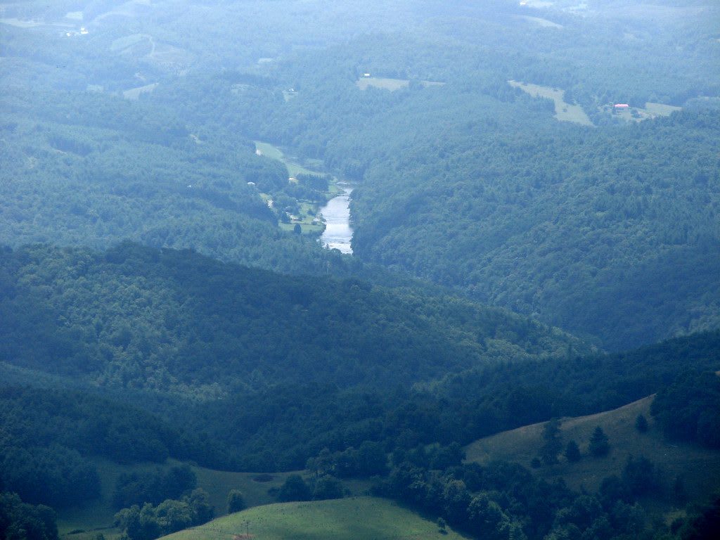
Mount Jefferson rises more than 1,600 feet above the farm valleys of Ashe County, standing alone and so abruptly that it catches the eye from the Blue Ridge Parkway miles away. From its overlooks and from Luther Rock the view runs west as far as Tennessee. Before it had an official name, people mostly called it Panther Mountain, after a local story of a panther that killed a child there.
The name it carries now honors Thomas Jefferson and his father, Peter Jefferson, who helped survey the North Carolina-Virginia boundary in 1749. In 1939 the Works Progress Administration built the road that first opened the mountain to most visitors. The state required at least 400 acres for a park, and a gift of 300 acres and the purchase of 164 more made it a state park in October 1956. It was designated a National Natural Landmark in 1974 and now covers about 1,188 acres.
More than 700 kinds of plants grow on the mountain, among them the Dutchman's pipevine that a swallowtail butterfly visits and its black-and-orange spiked caterpillar feeds on. The winding road climbs to parking near the summit, and from there short trails lead to the overlooks; Luther Rock is reached by a spur at the end of the Rhododendron Trail loop. The same curving road hosts a downhill skateboarding race each year. There is no camping in the natural area, and the summit runs several degrees colder than the town of West Jefferson below.
Visitor Info
On the Map
Nearby
The closest stops worth working into your route
Historical markers nearby
Roadside plaques and monuments within a short detour