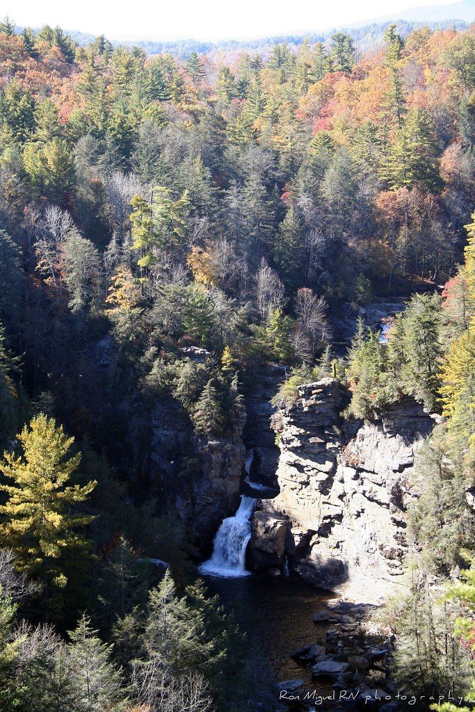
 Kamoteus (A New Beginning) / CC BY 2.0 via Flickr
The Story
The Cherokee knew the Linville River as the river of many cliffs, and below the falls it earns the name, beginning a descent of nearly 2,000 feet through a gorge between Linville Mountain and Jonas Ridge. The river rises on the slopes of Grandfather Mountain, spills over a twin upper falls, twists through a narrow rock channel and plunges into a deep pool. Settlers named it for John and William Linville, explorers killed in the gorge in 1766.
The gorge walls were too steep to log, and roughly 10,000 acres of forest inside it were never cut. In 1952 John D. Rockefeller Jr. gave about $100,000 to buy some 1,100 acres around the falls and part of the gorge for the Blue Ridge Parkway, and when the Wilderness Act passed in 1964 Linville Gorge was among the first areas in the national wilderness system. The Forest Service's Grandfather Ranger District manages the wilderness, which has no road along its floor and limits group size and weekend camping.
Trails to the falls start at the Parkway visitor center at milepost 316. Erwin's View Trail climbs moderately to Chimney View and Erwin's View, which look down on both falls, and the Plunge Basin Trail drops to an overlook across the river, with the steeper Gorge Trail branching to the foot of the falls. Swimming is not allowed in Parkway waters, and the wet rock above the falls is treacherous. Wiseman's View, an outcrop near the middle of the gorge, gives the widest view into it.
Visitor Info
On the Map
Nearby
The closest stops worth working into your route
Historical markers nearby
Roadside plaques and monuments within a short detour