Home / South Carolina / Myrtle Beach, Georgetown & the Grand Strand / Waccamaw National Wildlife Refuge
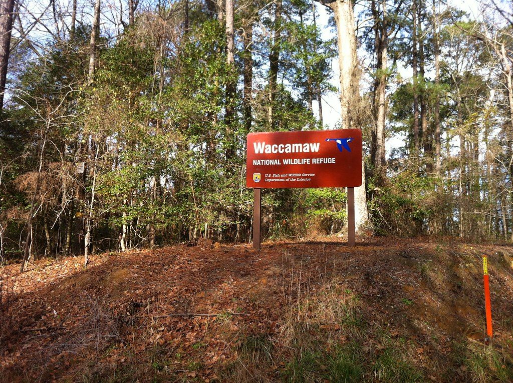
The red Waccamaw National Wildlife Refuge sign among bare winter hardwoods and pines.TheDigitel Myrtle Beach / CC BY 2.0 via Flickr
🌲Natural

Waccamaw National Wildlife Refuge

Part ofMyrtle Beach, Georgetown & the Grand Strand

Old tidal rice fields and blackwater swamp where the Waccamaw and Great Pee Dee rivers run side by side, with a visitor center at Yauhannah.

⏱
Duration
One to three hours; longer by canoe or kayak.
🎟
Admission
Free.
📅
Best Season
Spring for swallow-tailed kites and warblers; fall and winter for waterfowl and cooler walking. Call the refuge office, (843) 527-8069, for visitor center hours (USFWS, 2026).

The Story

For centuries before the colony, the Sewee, Santee, Sampit, Winyah, Pee Dee and Waccamaw peoples lived from these rivers and swamps, and the rivers still carry their names. After settlement they traded the products of these lands to Europeans, and one trading post stood near the refuge's visitor center on the Great Pee Dee. The Waccamaw runs parallel to the coast here, never more than fifteen miles from the ocean.

From the late eighteenth century the tide-fed fields along these rivers were home to the most successful rice plantations in South Carolina, cut from the swamp and worked by enslaved Africans and their descendants. In 1860 eighty-five percent of Georgetown County's people were enslaved. After the war, freedpeople worked the fields for wages, and on Sandy Island, between the two rivers, they formed the communities of Mount Arena, Brickville, Ruinville and Pipe Down, where their descendants still live. Rice was grown on Sandy Island into the 1940s. The refuge's banks, ditches and old fields, some broken by the tide and some still managed, are that labor's mark on the land.

The refuge was established in 1997 and protects tidal freshwater swamp, among the most diverse wetlands in North America, along with longleaf pine on Sandy Island where red-cockaded woodpeckers nest. Swallow-tailed kites and more than two hundred other bird species pass through. Trails and a boardwalk start at the visitor center on US 701 at Yauhannah, and the Cox Ferry Lake and Hasty Point areas are open daily. Paddling the blackwater is the best way in. Sandy Island's communities are private.

Visitor Info

⏱
Time Needed
One to three hours; longer by canoe or kayak.
🎟
Admission
Free.
📅
Best Season
Spring for swallow-tailed kites and warblers; fall and winter for waterfowl and cooler walking. Call the refuge office, (843) 527-8069, for visitor center hours (USFWS, 2026).
🛣️
Highway
US 701

On the Map

Nearby

The closest stops worth working into your route

cultural11 mi away
Brookgreen Gardens
The Huntingtons' sculpture garden laid over four rice plantations, where the Lowcountry Trail tells of the more than a thousand people Joshua John Ward enslaved.
natural11 mi away
Huntington Beach State Park
Three miles of undeveloped beach, salt marsh and the Huntingtons' Moorish-style winter house, Atalaya, across the highway from Brookgreen.
natural13 mi away
Myrtle Beach State Park
South Carolina's first state park, opened in 1936 and built by the Civilian Conservation Corps: a mile of undeveloped beach and maritime forest.
historical14 mi away
Conway Downtown Historic District
Horry County's river town on a Waccamaw bluff: the 1735 Kingston village, the tobacco boom, a Riverwalk and the free county museum.
historical17 mi away
Charlie's Place
Charlie and Sarah Fitzgerald's Carver Street supper club, a Chitlin' Circuit stop shot up by the Klan in 1950, with their restored motel.
natural19 mi away
Lewis Ocean Bay Heritage Preserve
More than ten thousand acres of Carolina bays, pine savanna and swamp behind Myrtle Beach, home to South Carolina's last strong stand of wild Venus flytraps.

Historical markers nearby

Roadside plaques and monuments within a short detour

Marker9.4 mi away
Socastee
Socastee
Marker9.5 mi away
Chicora Wood Plantation
Plantersville
Marker10 mi away
Washington Allston
Murrells Inlet vicinity
Marker10 mi away
Joseph Alston
Murrells Inlet vicinity
Marker10 mi away
Prince Frederick's Chapel
Plantersville
Marker11 mi away
Ark Plantation
Surfside Beach