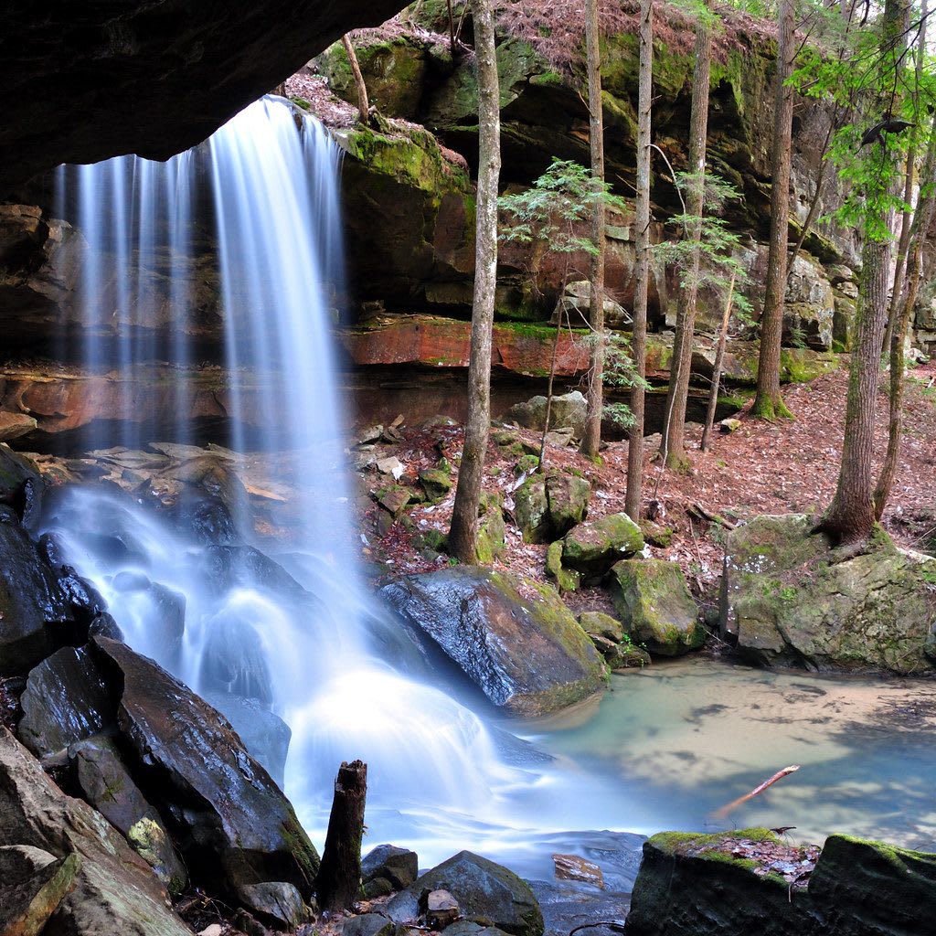
 Alabama Waterfalls / CC BY 2.0 via Flickr
The Story
The Eastern Wilderness Areas Act of January 3, 1975, set aside 12,000 acres of the Bankhead National Forest as the Sipsey Wilderness, among the first wilderness areas in the eastern United States, after a campaign led by Mary Ivy Burks. A second push in the 1980s, led by John Randolph and Mike Leonard, doubled it in 1988 to about 24,900 acres across Lawrence and Winston counties. Much of it had been logged, but about 260 acres of old forest survive in Bee Branch Gorge and Buck Rough Canyon: hemlock, beech, sweet birch, white oak and tulip poplar.
The Sipsey Fork of the Black Warrior River runs through it, designated a National Wild and Scenic River on October 28, 1988, the only one in Alabama. Sandstone bluffs 30 to 100 feet high lean over the water, and layered sandstone and limestone throw a waterfall off nearly every side canyon, which is why the forest is known as the land of a thousand waterfalls. The river rises from a few inches to flood stage in hours after a hard rain and falls just as fast. Behind one waterfall near Bee Branch is a small cave once dug for saltpeter, for gunpowder, and a small Civil War skirmish was fought nearby.
The forest began in 1918 as the Alabama National Forest, became the Black Warrior in 1936 and took the name of the congressman William B. Bankhead in 1942. The usual start is the Sipsey River Picnic Area, where Cranal Road crosses the river. The 2011 tornadoes wrecked trails in the north end, so check conditions first.
Visitor Info
On the Map
Nearby
The closest stops worth working into your route
Historical markers nearby
Roadside plaques and monuments within a short detour