 Burley Packwood / CC BY-SA 4.0 via Wikimedia Commons
The Story
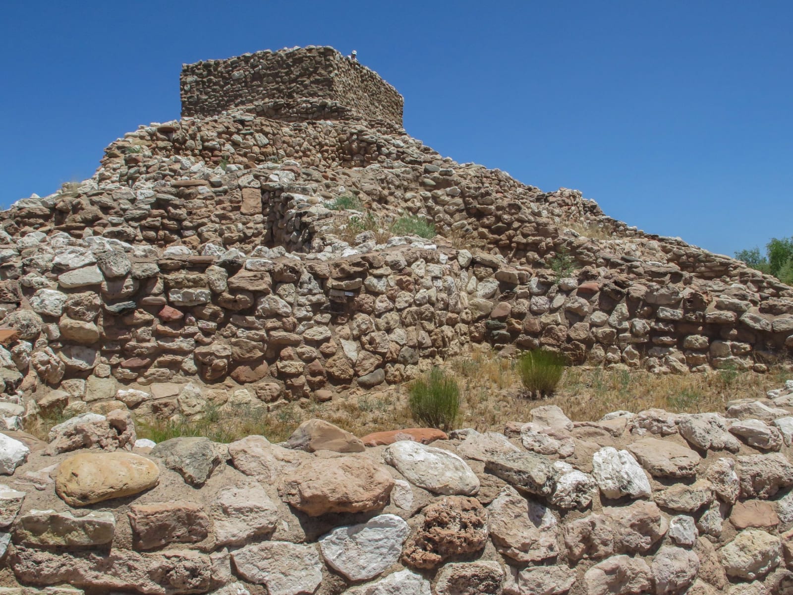
Where Montezuma Castle tucks into a cliff, Tuzigoot does the opposite — it crowns a long limestone ridge standing a hundred and twenty feet over the Verde River, in the open, visible for miles. The same Sinagua people built both. The pueblo went up in stages between about 1000 and 1400, growing to more than a hundred rooms stacked two and three stories high, home at its height to perhaps two hundred and fifty people who farmed the river bottom below and traded for shell, turquoise, and macaws from as far off as the Pacific coast and central Mexico.
The name is not theirs. When the ruin was excavated, a nearby Apache community offered "Tuzigoot" — crooked water, for a bend in the old river — and it stuck; the Sinagua word for the place is long lost. The excavation itself is a piece of Depression history: in 1933 and 1934, crews paid through federal relief programs dug the pueblo out under two young archaeologists, and the labor and the artifacts went straight into a museum built of the same stone. It became a national monument in 1939.
Tuzigoot sits directly below the copper country that would later remake the valley. The smelter town of Clarkdale spreads out at the foot of its ridge — company town for the United Verde ore that came down the mountain from Jerome — so from the top of the pueblo you can hold a thousand years of Verde Valley history in a single view: Sinagua farmland along the river, a New Deal excavation on the hill, and a twentieth-century smelter town on the flat, all within a mile of one another.
The building technique rewards a slow look — river cobbles and chunks of limestone set in mud, walls that lean and thicken as they climb, most rooms entered from the roof by ladder through a hatch rather than by any door. Much of what you walk was rebuilt to about waist height during the excavation, so the plan reads clearly from the loop trail. Admission is shared with Montezuma Castle on a single ticket; the two sites sit twenty-odd miles apart and belong together.
Visitor Info
On the Map
A story featuring this place
Go deeper into the history and character of this stop
Nearby
The closest stops worth working into your route
Historical markers nearby
Roadside plaques and monuments within a short detour