 Ammodramus / CC0 via Wikimedia Commons
The Story
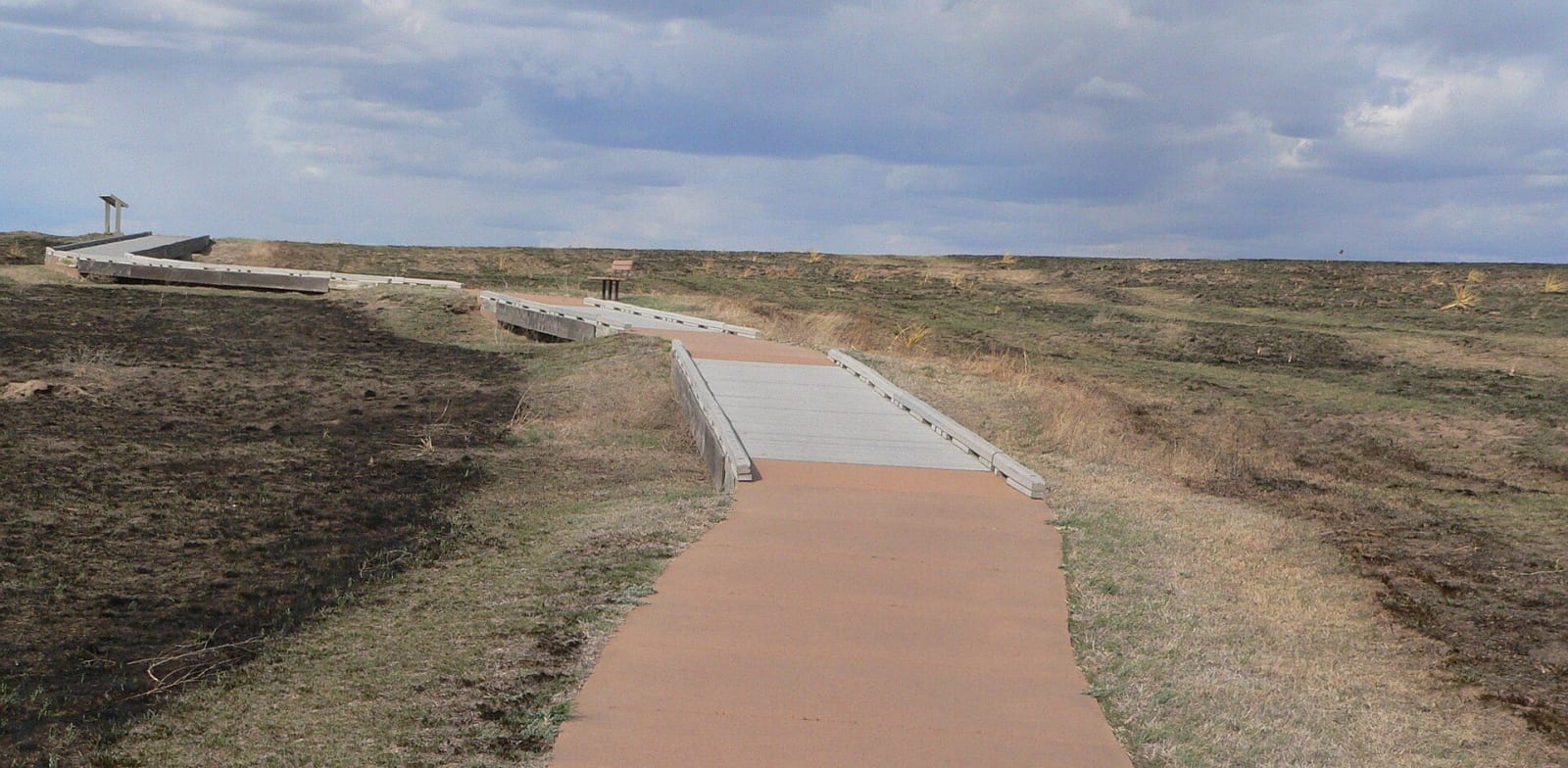
The Santa Fe Trail carried freight between Missouri and Santa Fe from 1821 until the railroads replaced it around 1880, and few traces of its route survive. Here, about nine miles west of Dodge City, they survive for about two miles and as much as 400 feet wide on 140 acres of shortgrass above the river, the longest continuous stretch of clearly defined Santa Fe Trail ruts in Kansas, in the words of the landmark listing. The site was declared a National Historic Landmark in 1963 and is owned by a preservation organization; the Boot Hill Museum improved the rut site in 1995.
The view is not untouched. US-50, a railroad right-of-way and irrigation ditches all cross the old route, grazing has worn the ruts, and the Arkansas itself has moved south of the course it followed in trail days. Even so, the hillside looks much as it did in the nineteenth century.
The ditches belong to the story of this country. Dodge City lies on the 100th meridian, which John Wesley Powell, in his 1879 report on the arid lands, took as the rough line of 20 inches of rain a year, below which farming without irrigation could not be relied on. In 1883 Asa T. Soule, a prominent Dodge City man, began the Eureka Irrigating Canal to carry Arkansas River water to dry fields; drought and diversions upstream left it abandoned, and the canal is now listed on the National Register. Come in early morning or late afternoon, when low light throws the swales into shadow.
Visitor Info
On the Map
A story featuring this place
Go deeper into the history and character of this stop
Nearby
The closest stops worth working into your route
Historical markers nearby
Roadside plaques and monuments within a short detour