Home / Kansas / The Red Hills & Medicine Lodge / Meade State Park
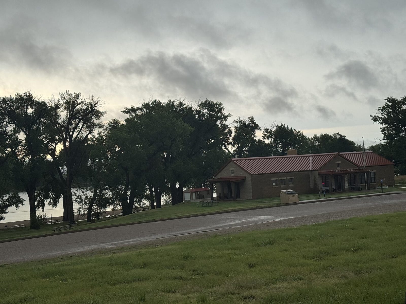
The Meade State Park office under tall trees beside the park road on a cloudy day.Bernardgeorgeh / CC BY-SA 4.0 via Wikimedia Commons
🌲Natural

Meade State Park

Part ofThe Red Hills & Medicine Lodge

An 80-acre fishing lake among springs south of Meade, in country once known for artesian wells that pushed groundwater up under its own pressure, before irrigation drew the water table down.

⏱
Duration
One to two hours; overnight with camping.
📅
Best Season
April through October.

The Story

Meade State Park lies eight miles south and five miles west of Meade on K-23, on the High Plains just west of the Red Hills. It holds 80-acre Meade State Fishing Lake, a wildlife area of several hundred acres with campsites, a nature trail and several springs, and the springs are the reason it is here.

This part of Meade County is known for artesian conditions, which the Kansas Geological Survey ties to a buried fault to the east. Water in an artesian aquifer is held under pressure beneath rock it cannot pass through. Where that cap is broken, by a spring or by a well drilled down to the water, it rises on its own instead of having to be pumped, and sometimes shoots out. During a test in the park in 1939 to measure the artesian head, water climbed a pipe 17.4 feet above the ground. Settlers found the same thing across the county: there were flowing artesian wells, and a salt well discovered in the county was for a time a popular place to bathe.

Most of that pressure is gone. Irrigation has lowered the water table, and the flow from the springs and artesian wells around the park has diminished or stopped altogether. The lake still holds bluegill, channel catfish and largemouth bass, fishing is allowed year-round, and boats with motors may be used only for fishing and only at no-wake speed. Meade itself, on the way in, keeps the Dalton Gang Hideout, the house of the outlaws' sister Eva Dalton Whipple, as a museum.

Visitor Info

⏱
Time Needed
One to two hours; overnight with camping.
📅
Best Season
April through October.
🛣️
Highway
K-23

On the Map

Nearby

The closest stops worth working into your route

attraction29 mi away
Mid-America Air Museum
More than 100 aircraft in a former Beechcraft plant on the old Liberal Army Airfield, where nearly a third of all B-24 Liberator command pilots trained during World War II.
cultural38 mi away
Pioneer-Krier Museum
Clark County's museum on US-160 in Ashland, where a ranch county's household goods share a wing with the aerobatic biplanes of Harold Krier and the records of miler Wes Santee.
historical45 mi away
Santa Fe Trail Ruts west of Dodge City
Two miles of wagon swales up to 400 feet wide on a grass hillside above the Arkansas, nine miles west of Dodge City, a National Historic Landmark seen from a pull-off on US-50.
historical47 mi away
Boot Hill Museum
Dodge City's museum on the site of the original Boot Hill cemetery, a 1950s replica of Front Street built around a collection one family began gathering in the 1870s.
architectural58 mi away
Fromme-Birney Round Barn
A sixteen-sided horse barn of 1912 on the wheat country south of Mullinville, built for 28 draft horses and a French Percheron stallion and outdated by a tractor four years later.
natural58 mi away
Sandsage Bison Range and Wildlife Area
The 3,760-acre remnant of the Kansas National Forest south of Garden City, where federal tree planting failed and the state's oldest publicly owned bison herd now grazes sand sage prairie.

Historical markers nearby

Roadside plaques and monuments within a short detour

Marker9.2 mi away
The Lone Tree Incident
Marker16 mi away
Arkalon and the Samson of the Cimarron
Marker23 mi away
Fargo Springs and Springfield
Marker26 mi away
Big Basin
Marker27 mi away
When Coronado Came to Kansas