Home / Kentucky / Paducah & Land Between the Lakes / Paducah Floodwall Murals
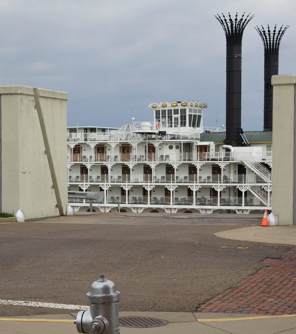
An open gate in the Paducah floodwall frames the riverboat American Queen moored on the Ohio River.David Brossard / CC BY-SA 2.0 via Flickr
🎭Cultural

Paducah Floodwall Murals

Part ofPaducah & Land Between the Lakes

The riverfront wall built after the 1937 flood, painted since 1996 with Paducah's history, at the meeting of the Tennessee and Ohio on land the Chickasaw ceded in 1818.

⏱
Duration
Thirty minutes to an hour.
🎟
Admission
Free, open around the clock and lit at night.
📅
Best Season
Year round; spring and fall are best for walking the riverfront.

The Story

Paducah sits where the Tennessee River meets the Ohio, on land that was Chickasaw country until 1818. That October, at the treaty the Chickasaw call Old Town, Andrew Jackson and Isaac Shelby pressed for everything the nation held between the Tennessee and the Mississippi north of the Mississippi state line. The Chickasaw Nation's own account says Jackson warned the land would be taken if they refused. Leaders signed for $20,000 a year for fifteen years, and the consent of Levi and George Colbert has long been said to have been bought. Kentucky's share became the Jackson Purchase.

William Clark laid out the town in 1827 and named it Paducah. Local lore credits a Chickasaw chief called Paduke; Chickasaw authorities say there was no such man, and historians think Clark took the name from the Padouca, as settlers called the Comanche. On February 2, 1937, the Ohio crested here at 60.8 feet, and about 27,000 people fled their homes for nearly three weeks. Congress then had the Army Corps of Engineers build the floodwall, earth and concrete, that now runs about twelve miles around the city.

In 1996 the Louisiana muralist Robert Dafford and his team began painting its downtown face. The first twenty-panel timeline was finished in 2001 and the last of three blocks in 2022, more than fifty murals in all. Along Water Street from Broadway they run in order, from Native life on the rivers to towboats, and the gates in the wall open onto the water itself.

Visitor Info

⏱
Time Needed
Thirty minutes to an hour.
🎟
Admission
Free, open around the clock and lit at night.
📅
Best Season
Year round; spring and fall are best for walking the riverfront.
🛣️
Highway
Water Street / Broadway

On the Map

Nearby

The closest stops worth working into your route

cultural0.2 mi away
National Quilt Museum
Paducah's museum of contemporary quilts since 1991, with more than 700 quilts made after 1980, almost all by women.
historical0.6 mi away
Hotel Metropolitan
Maggie Steed's 1908 hotel for Black travelers in Paducah's Upper Town, a Green Book and Chitlin' Circuit stop, now a museum.
industrial19 mi away
Kentucky Dam
TVA's longest dam, closed in 1944 near the mouth of the Tennessee River, and the lake that moved 2,609 families and drowned Birmingham, Kentucky.
historical21 mi away
Mantle Rock Nature Preserve
A 188-foot sandstone arch and a mile of the road where Cherokee detachments waited for the frozen Ohio in the winter of 1838-39.
natural21 mi away
Clarks River National Wildlife Refuge
Bottomland hardwood swamp along the East Fork of the Clarks River near Benton, a refuge since 1997 for waterfowl and migrating songbirds.
historical29 mi away
Wickliffe Mounds State Historic Site
A Mississippian town of about 1100 to 1350 near the meeting of the Ohio and Mississippi, once a roadside attraction that displayed the dead, now reburied.

Historical markers nearby

Roadside plaques and monuments within a short detour

Marker0 mi away
Clara Barton's Visit
Paducah
Marker0 mi away
First Log Cabin
Paducah
Marker0 mi away
$5 Bought Paducah
Paducah
Marker0.1 mi away
Gen. George Rogers Clark
Paducah
Marker0.1 mi away
Ride Round the Rivers
Paducah
Marker0.1 mi away
Second Courthouse
Paducah