Home / Kentucky / Paducah & Land Between the Lakes / Clarks River National Wildlife Refuge
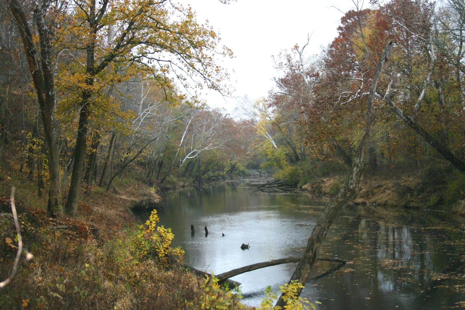
The Clarks River winding between autumn-coloured trees, with fallen logs and snags in the dark water.Andy Eller, U.S. Fish and Wildlife Service / CC BY 2.0 via Flickr
🌲Natural

Clarks River National Wildlife Refuge

Part ofPaducah & Land Between the Lakes

Bottomland hardwood swamp along the East Fork of the Clarks River near Benton, a refuge since 1997 for waterfowl and migrating songbirds.

⏱
Duration
One to three hours.
🎟
Admission
Free to visit; annual hunting and fishing permits sold separately.
📅
Best Season
Spring and fall migration, and winter for waterfowl. Refuge lands are open sunrise to sunset.

The Story

The East Fork of the Clarks River winds through Graves, Marshall and McCracken counties, and the low ground along it is bottomland hardwood forest and wetland, the ecosystem the refuge exists to keep. The U.S. Fish and Wildlife Service established the refuge here in 1997, and it now covers about 8,000 acres of forest, wetland and field.

The forest sorts itself by inches of elevation. In the lowest, wettest ground stand overcup oak, bald cypress and tupelo gum. A little higher and better drained come willow oak, swamp chestnut oak, red oak, sweetgum, sycamore, ash and elm. The refuge manages the whole for waterfowl and migrating songbirds, with impoundments for ducks, cooperative farming, replanted forest and native grassland. More than 200 species of migratory birds pass through or stay for a season, and spring and fall bring the most variety.

The easiest place to start is the environmental education and recreation area on KY 408 east of Benton, with trails into the bottoms; the headquarters office is on US 641 north of town, open on weekdays. The refuge is free to walk, open from sunrise to sunset, and hunting and fishing are allowed with a refuge permit, so wear something bright in season. It sits between Paducah and Kentucky Lake, an easy break from the four-lane, and after a wet spring the trails may be under water.

Visitor Info

⏱
Time Needed
One to three hours.
🎟
Admission
Free to visit; annual hunting and fishing permits sold separately.
📅
Best Season
Spring and fall migration, and winter for waterfowl. Refuge lands are open sunrise to sunset.
🛣️
Highway
KY 408

On the Map

Nearby

The closest stops worth working into your route

industrial12 mi away
Kentucky Dam
TVA's longest dam, closed in 1944 near the mouth of the Tennessee River, and the lake that moved 2,609 families and drowned Birmingham, Kentucky.
natural16 mi away
Elk & Bison Prairie
A 700-acre restored grassland in Land Between the Lakes where elk and bison roam inside a fence, seen from a 3.5-mile paved loop.
historical16 mi away
Golden Pond Visitor Center
The hub of Land Between the Lakes, near the site of Golden Pond, a town TVA cleared in the 1960s with the farms and hamlets of Between the Rivers.
historical21 mi away
Hotel Metropolitan
Maggie Steed's 1908 hotel for Black travelers in Paducah's Upper Town, a Green Book and Chitlin' Circuit stop, now a museum.
cultural21 mi away
Paducah Floodwall Murals
The riverfront wall built after the 1937 flood, painted since 1996 with Paducah's history, at the meeting of the Tennessee and Ohio on land the Chickasaw ceded in 1818.
cultural22 mi away
National Quilt Museum
Paducah's museum of contemporary quilts since 1991, with more than 700 quilts made after 1980, almost all by women.

Historical markers nearby

Roadside plaques and monuments within a short detour

Marker0.1 mi away
Shelby McCallum
Benton
Marker0.7 mi away
Kentucky Writer
Benton
Marker0.8 mi away
James R. Lemon
Benton
Marker5.4 mi away
Inundated Site
Fairdealing
Marker8.2 mi away
Wadesboro
Dexter
Marker11 mi away
Andrew Jackson Smith