Home / Alabama / Mobile Bay & the Gulf Coast / Old St. Stephens Historical Park
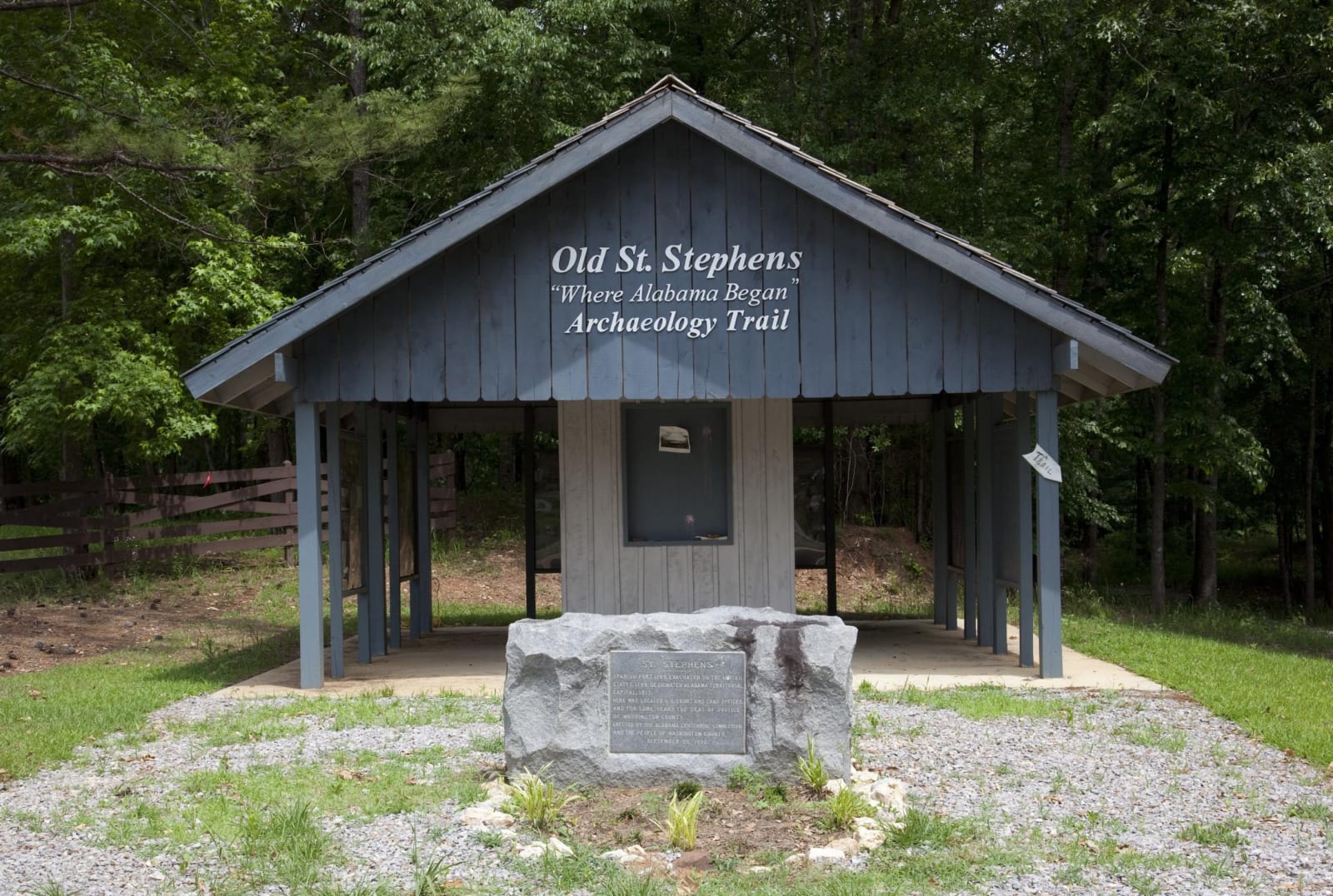
A small open-sided wooden shelter signed Old St. Stephens Archaeology Trail, with a granite marker stone in front, among pines.Carol M. Highsmith / public domain via Library of Congress
🏛️Historical

Old St. Stephens Historical Park

Part ofMobile Bay & the Gulf Coast

The bluff on the Tombigbee where a Spanish fort became the Choctaw Trading House and then Alabama's first territorial capital, now a ghost-town site with a quarry lake.

⏱
Duration
One to three hours.
🎟
Admission
Small entry fee; camping and cabins extra.
📅
Best Season
Fall and spring for walking the town site and trails; summer for the quarry lake.

The Story

The shoals below this limestone bluff stopped boats on the Tombigbee, and that made the place worth holding. Spain built Fort San Esteban here in 1789, with earthworks, a church and a commandant's house, and then gave it up when a survey put the bluff north of the 31st parallel. The American flag went up in May 1799.

For the Choctaw, whose country lay along this river, the new post mattered as a store. In 1803 the United States opened a government trading factory in the old Spanish blockhouse, known as the Choctaw Trading House, and George Strother Gaines ran it from 1805. Choctaw hunters brought skins and goods here, and a land office in the old Spanish warehouse sold surrounding land to settlers. The town that grew around the post became the capital of the Alabama Territory in 1817; the legislature met in the Douglass Hotel, and by 1819 there were more than 500 houses, a theater and the territory's first bank.

It did not last. The capital went to Cahaba at statehood, shallow-draft boats learned to pass the shoals, and yellow fever finished the rest. Today the town is an archaeological site of cellar holes, cisterns and street lines in the pines, with a cemetery and a few markers. The same park holds a quarry lake, campsites and cabins, and miles of trails for walking and riding.

Visitor Info

⏱
Time Needed
One to three hours.
🎟
Admission
Small entry fee; camping and cabins extra.
📅
Best Season
Fall and spring for walking the town site and trails; summer for the quarry lake.
🛣️
Highway
Cement Plant Road, off US-43

On the Map

Nearby

The closest stops worth working into your route

historical28 mi away
Fort Mims State Historic Site
The Tensaw site where Red Stick Creek warriors overran a stockade on August 30, 1813, opening the war that ended with the Treaty of Fort Jackson.
cultural42 mi away
Old Courthouse Museum
The 1903 Monroe County Courthouse where Harper Lee watched her father practice law, the model for the courtroom of To Kill a Mockingbird.
cultural43 mi away
Poarch Creek Indians Museum & Welcome Center
The Poarch Band of Creek Indians' own museum near Atmore, telling how one Creek community stayed in Alabama through removal and won federal recognition in 1984.
cultural56 mi away
Africatown Heritage House
The museum in Africatown that holds Clotilda: The Exhibition, telling the story of the 110 Africans brought on the last known slave ship and the town they founded.
cultural57 mi away
Gee's Bend
A Black farming community in a deep bend of the Alabama River, cut off from its county seat for 44 years after residents tried to vote, whose quilts are now shown in major museums.
historical57 mi away
Historic Blakeley State Park
The vanished river town of Blakeley and the earthworks where some 5,000 U.S. Colored Troops fought in the assault of April 9, 1865, in 2,000 acres on the delta.

Historical markers nearby

Roadside plaques and monuments within a short detour

Marker14 mi away
Clarke County Training School
Coffeeville
Marker14 mi away
Washington County
Chatom
Marker16 mi away
Judge Harry Toulmin
Millry
Marker20 mi away
Andrews Chapel
McIntosh
Marker29 mi away
First Oil Well In Alabama
Gilbertown
Marker29 mi away
MOWA Band of Choctaw Indians
Calvert